|
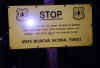
I
hiked up the Gray Knob Trail back to Lowe's Path, where one of the
famous weather warning signs greeted me. I stopped to take a picture,
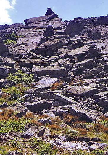
then continued on. The trail wound steeply up a knob and was soon
completely above treeline. In front of me, the rocky terrain spread
on almost endlessly. Because of the shape of the ridge, I couldn't
see the summit of Mt Adams.
Just
above the first rise, a
White Mountain National Forest ranger caught up to me. He was
patrolling all the Northern Presidentials, and was currently headed
up to Mt Adams. He said that he usually worked the Southern Presidentials,
so together, using our maps, we located Adams 4, Mt Sam Adams, and
Mt John Quincy Adams - the entire "Adams Family" as I
put it. Adams 4 was directly in front of us, and the trail ascended
it, but missed Mt Sam Adams, which lay just a short distance to
the west of the trail.
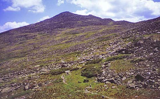
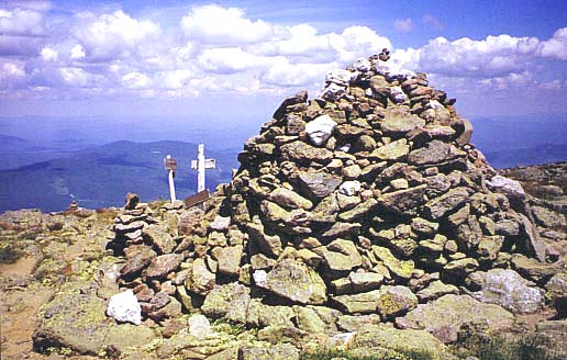
After
we parted, I continued slowly ascending the ridge, picking my way
across the boulders until I finally reached the summit of Adams
4, where I stopped for a rest and a snack. After hiking above
treeline on Humphrey's
Peak in Arizona in June, I appreciated how much greener the
alpine tundra is in the White Mountains. I had never given it that
much thought before.
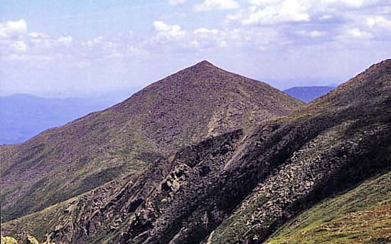
From
Adams 4, I could see the main summit of Mt Adams, where I was headed.
I was getting closer, but it still seemed like a long way off. I
made good time though, and before long, I reached Thunderstorm junction,
where
Lowe's Path, the Gulfside Trail, the Spur Trail, and the Great Gully
Trail all come together. The signs were a little beat up from the
weather. If it weren't for the fact that I could see Mt Adams in
front of me, I would have had a hard time telling which trail to
take. In bad weather, that could have been disastrous. |
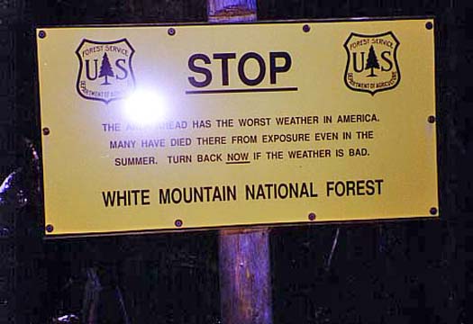
One
of the famous weather warning signs that greet hikers at treeline
in the Presidential Range. Since the weather was near perfect, I
continued on up. |
|