|
Just about a month since the trip to Mt Moriah, Patches and I were ready to head back up to the White Mountains to climb another peak. I hadn't made up my mind whether it would be Mt Jefferson or Mt Cabot until we got there and saw fog drifting across the higher peaks. It had rained that morning, the ground was still damp, and I figured that the ledges and boulders on the Caps Ridge Trail on Mt Jefferson might still be slick from rain and/or even rime ice, so Cabot was the more logical choice. After moving to Cape Cod in March, it was now a 4-1/2 to 5 hour drive to the Gorham area, too long for just a day trip so I once againI decided to stay at Dolly Copp Campground the night before the hike.
After setting up the tent and getting things ready for the night, we drove over to the AMC Pinkham Notch Visitor's Center so I could buy a tee-shirt and a sweatshirt. Back outside, I put on the sweatshirt as it was starting to get a bit chilly, and then Patches and I took a short hike up Old Jackson Rd and the Crewcut Trail as far as Leibeskind Loop and then turned around and retraced our steps to our car. Then, we headed back to the campsite to cook and eat supper, arrange our things for the next morning's hike, and try to go to bed early. Unfortunately, a group of campers had set up in the site next to ours and kept on talking until well after 10 o'clock. I finally had to get up, walk over to a spot between our two sites, and ask them to stop. Luckily, they said they were sorry and were quiet after that.
In the morning, after getting dressed, being as quiet as possible, I took down our tent, packed all our camping gear away in the car, and then drove off to the York Pond Trailhead. I ate a power bar and some dry oatmeal while we were on our way. Patches would wait for her breakfast until we were on the trail since she would have been too excited to eat back at the campground. I didn't know what to expect regarding the route to the trailhead since I'd never been up Cabot via the York Pond and Bunnell Notch Trails before. The trailhead is inside the property of a state fish hatchery and there's conflicting information about when the hatchery gate opens and closes. The White Mountain Guide lists the official opening/closing times as 8 AM to 4 PM, but hiker reports on the Internet have indicated that the gate has been open both earlier and later than those hours. I was pleasantly surprised to find that York Pond Rd was paved most of the way there; I had expected all 7 miles to be unpaved like Mt Clinton or Zealand Rds.
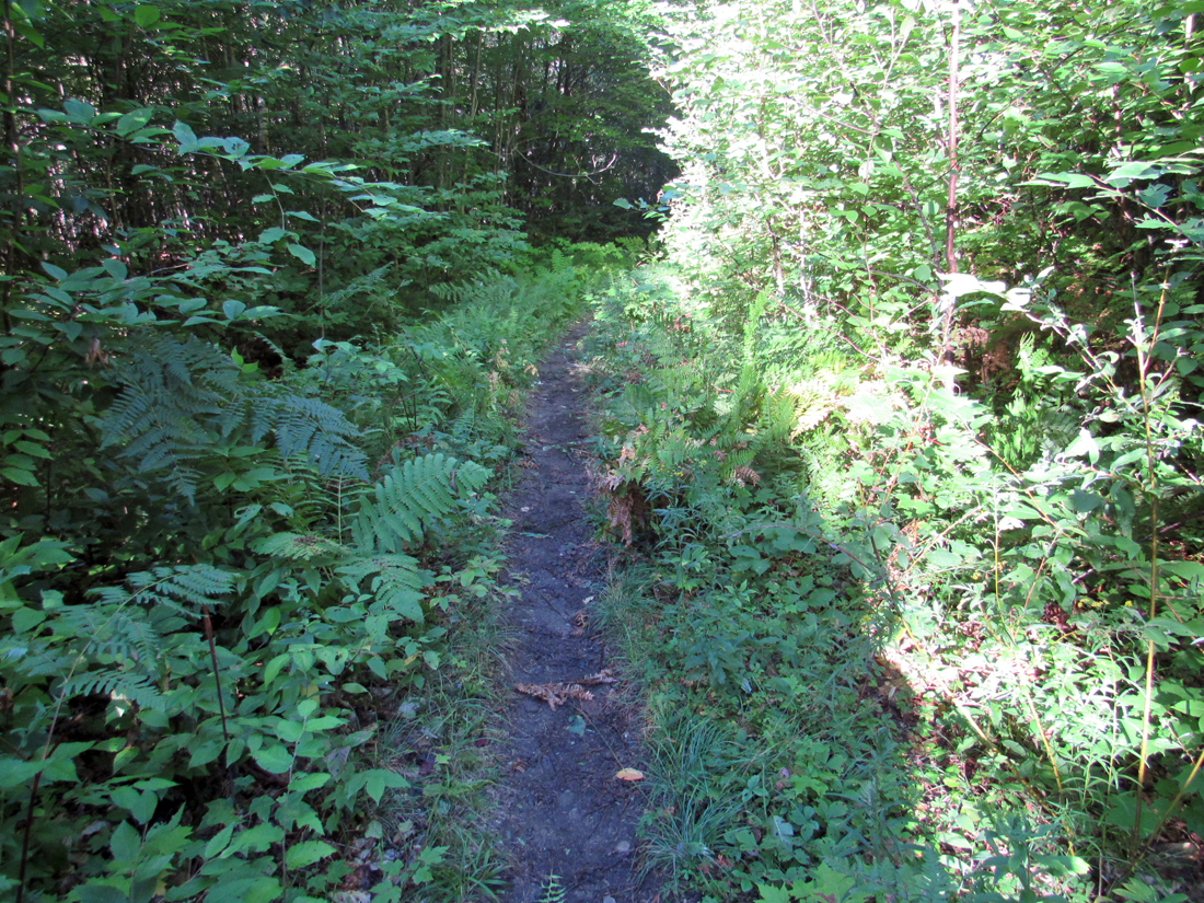
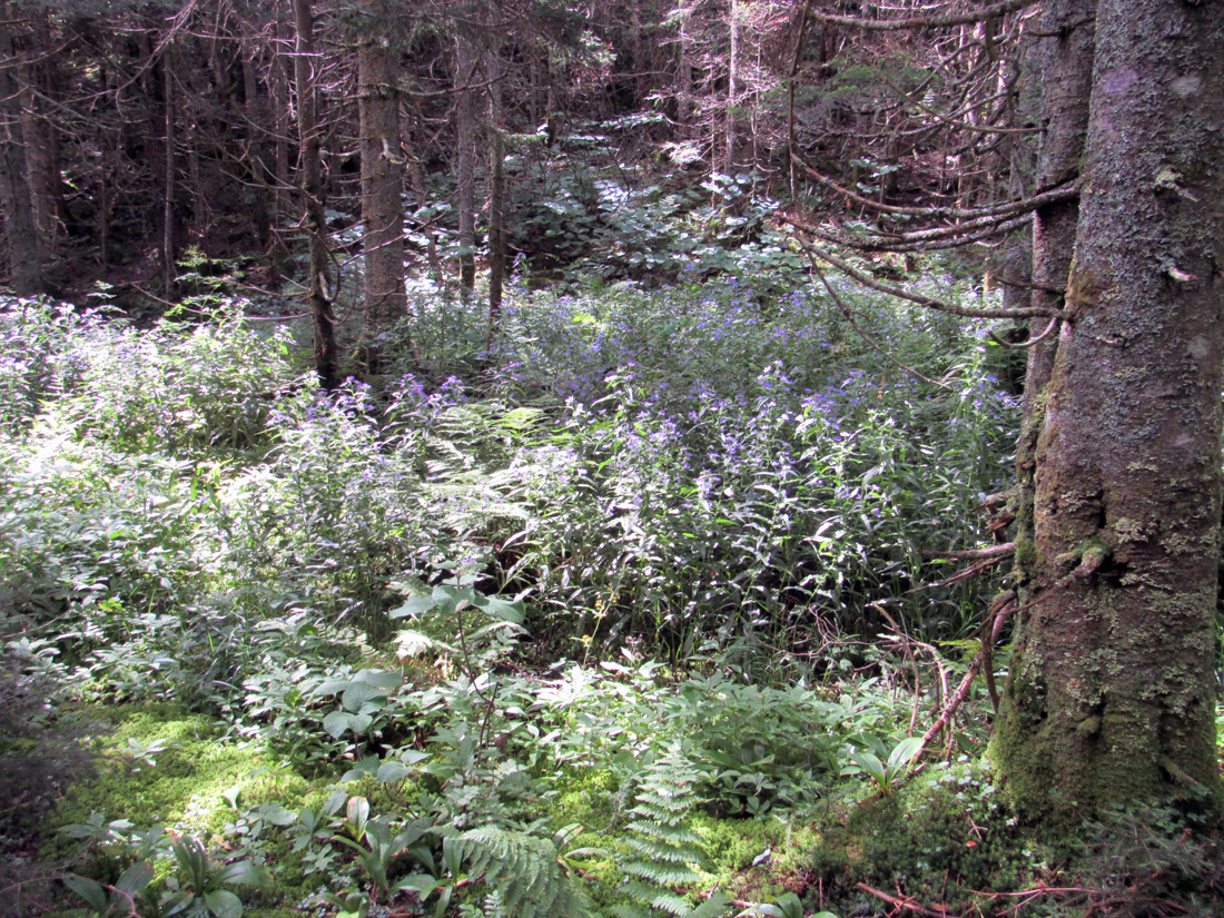
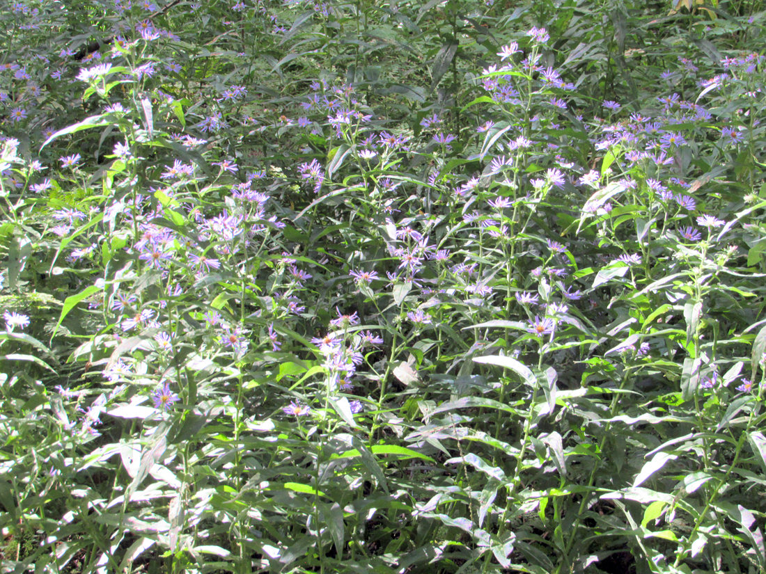
The trailhead parking lot was nearly empty when we got there and we were soon on our way along the fern- and briar-bordered York Pond Trail, and only 2/10 of a mile further, the Bunnell Notch Trail. There was very little elevation gain in the early part of the hike, mostly minor ups and downs through the woods and across small brooks. Eventually, the trail began to climb moderately with a few steeper sections until we got to Bunnell Notch where it mostly leveled off except for a few more minor ups and downs. The highlight of this part of the hike was a large sunny glade filled with purple asters in bloom.
At the end of Bunnell Notch, near the junction with the former Mt Cabot Trail where the Kilkenny Ridge Trail makes a sharp right turn uphill, it was time for a rest, a snack for me, and breakfast for Patches before tackling the next leg of our climb up to Cabot Cabin. We sat there for a while enjoying the time off our feet and the lack of annoying bugs. Unfortunately there were no views, just thick forest on all sides.
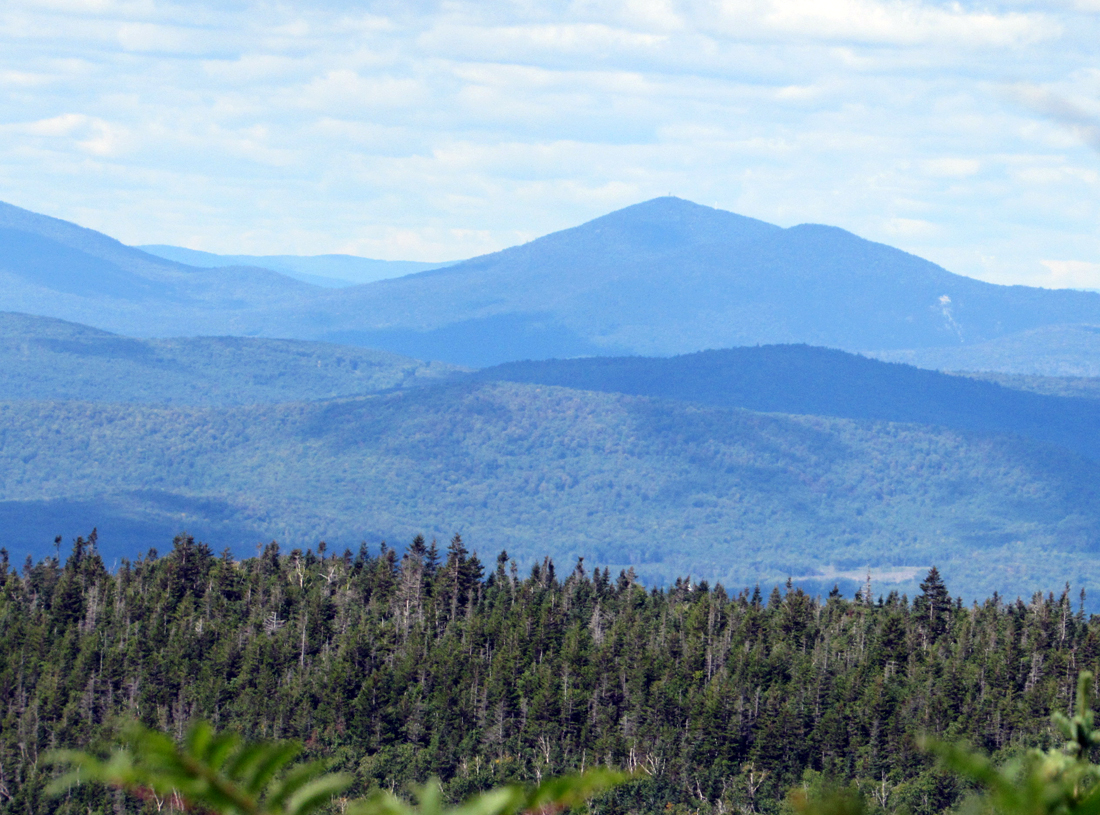
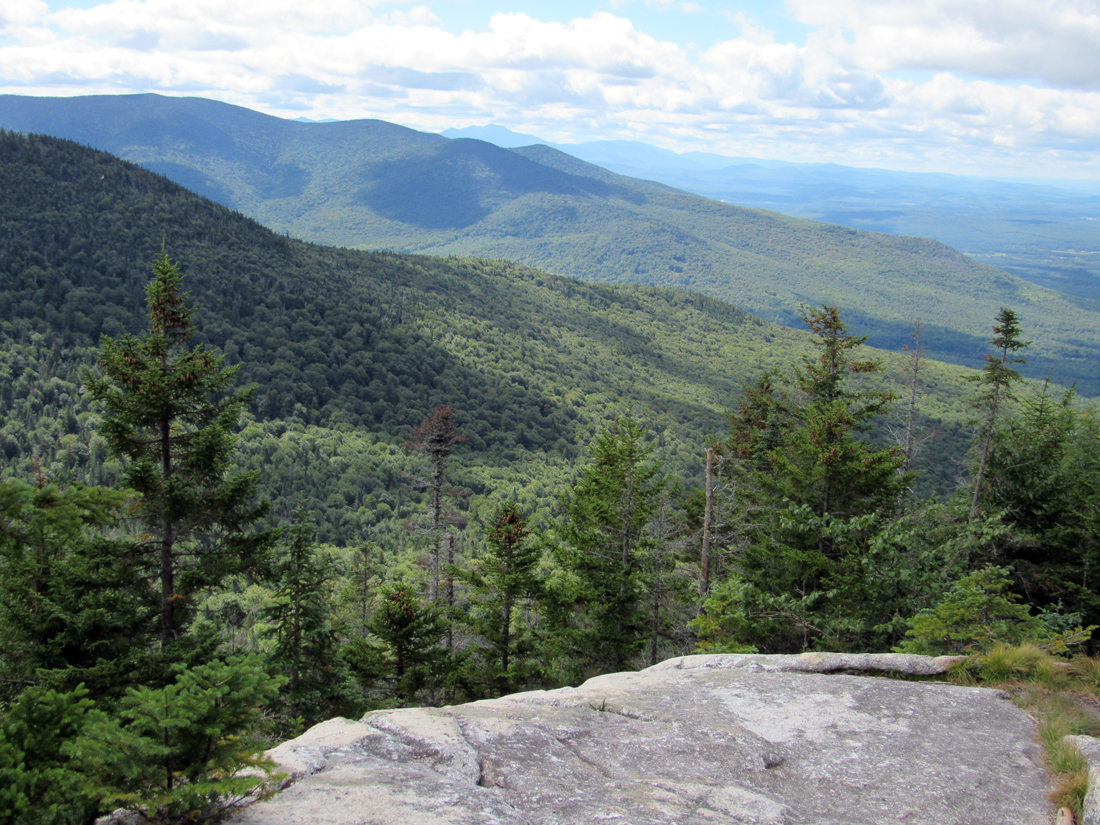
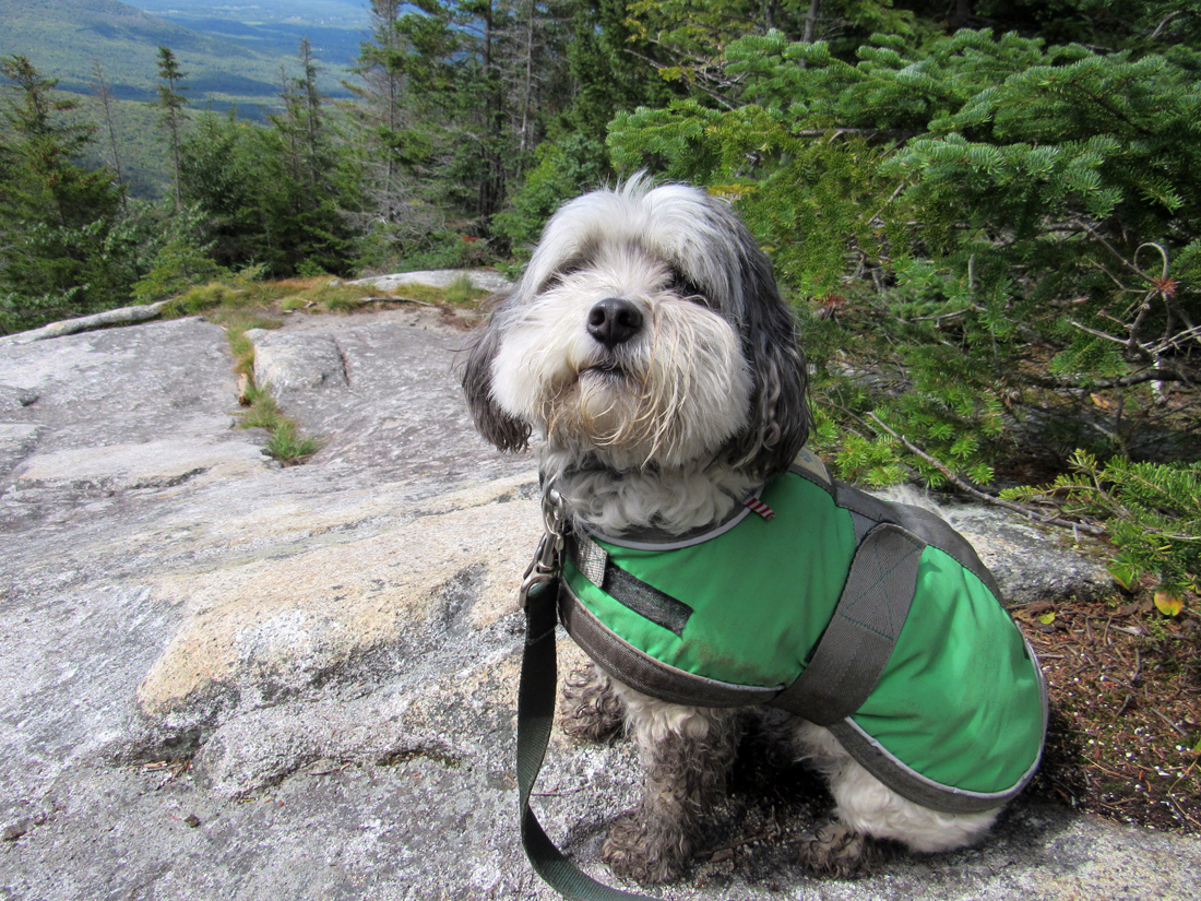
About a half hour after hitting the trail again, we reached a nice east-facing viewpoint. There were a number of peaks off in the distance, but unfortunately I'm not familiar with the mountains in these northern ranges so I'm not sure what we were looking at, though some of them could have been part of the Mahoosucs. Patches enjoyed the views from this ledge but I had to make sure that she didn't stray too close to the edge. She's just curious and would probably not end up falling, but I don't like to take any chances.
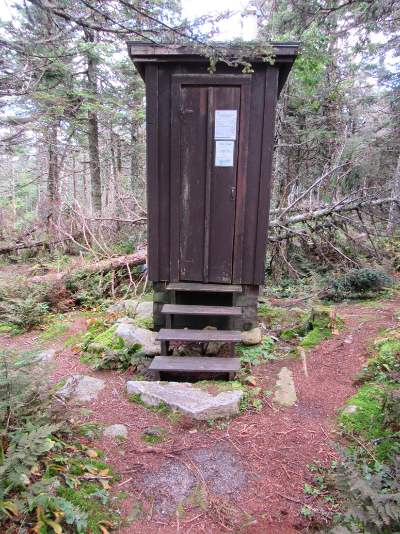
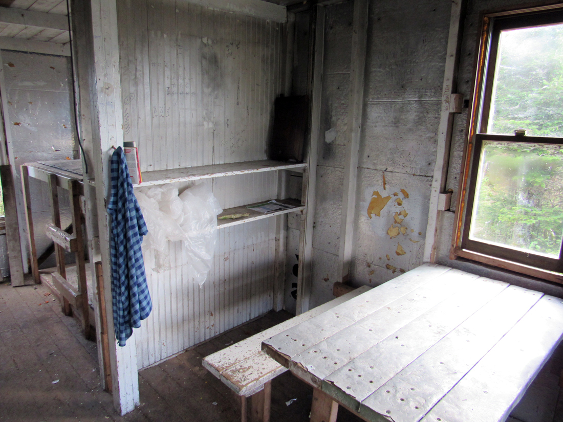
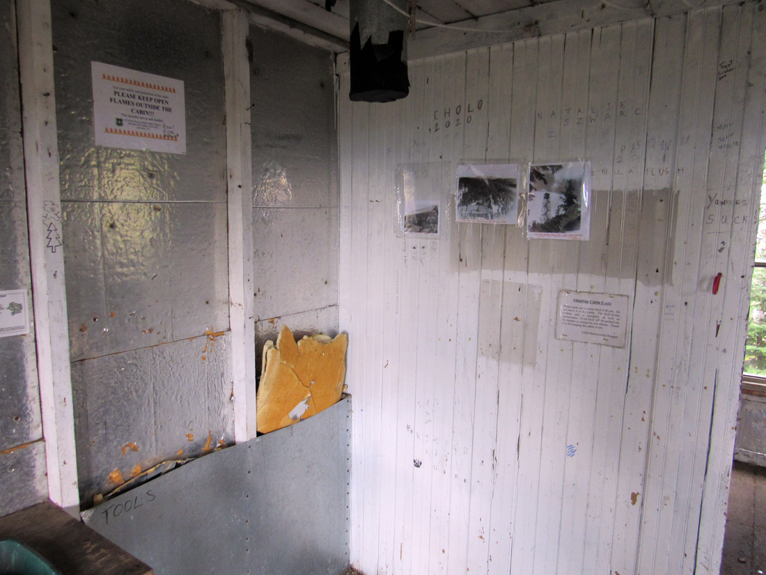
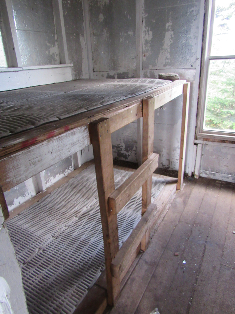
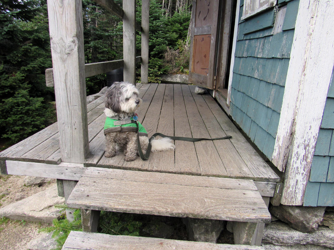
Less than an hour of moderate to steep climbing later, we finally reached the site of Cabot Cabin. I stopped in the outhouse first, but noted a complete lack of toilet paper. Then we walked the remaining short distance to the cabin itself. I had been here once before, in 2002, and remembered the cabin as being a bit rundown, but I didn't expect it to have deteriorated this badly in the last 18 years. It was a mess, to say the least, though not as quite as bad as the ramshackle Cooper Lodge just north of Killington Peak on the Long Trail in Vermont. Still, Cabot Cabin could greatly benefit by being torn down and completely rebuilt. Besides being incredibly dirty, bits of insulation had broken off the walls, there was not much left of the bulletin board, the stove was missing, a couple of the bunks seemed to be on verge of collapse, and there were areas of rotted wood on the outside.
It wasn't a fun place to hang out, to say the least, but I decided to leave my pack there while Patches and I continued on to the summit of Mt Cabot. It's only a short hike the rest of the way to the top, and there was no need to carry extra weight beyond my camera and water bottle.
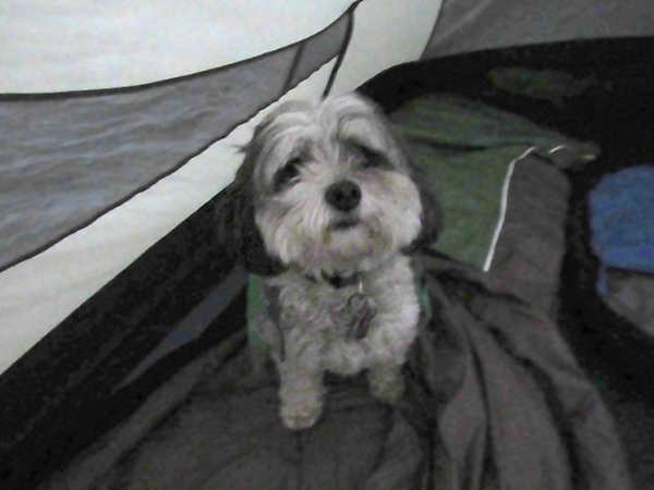
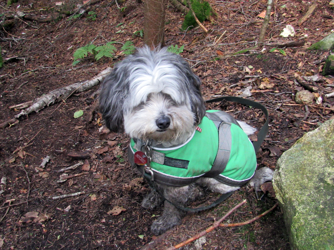
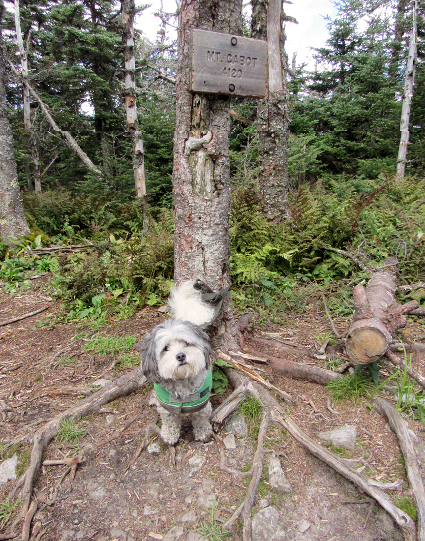
Fifteen or twenty minutes later, we were at the wooded summit of Mt Cabot. I opted to take Patches' picture beneath the tree where the summit sign was posted. There's a slightly higher spot a short distance along the trail, but the sign at least stood out as a clue to our location. I didn't bother to visit the nearby west-facing viewpoint. Just a quick photo and we hurried back down to the cabin to retreive my pack and start the long trip back down.
Needless to say, the gate wasn't closed when we got back to the car, even though the time was closer to 4:30 . We only made one stop on the way home - in Lincoln to get some supper from the drive-through at McDonald's - and then headed south back to Cape Cod. This was Patches' 39th 4000-Footer. She now had only 9 more to go. |
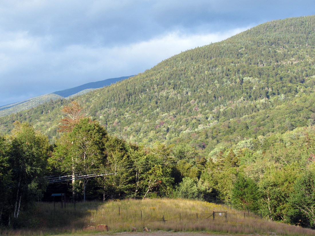
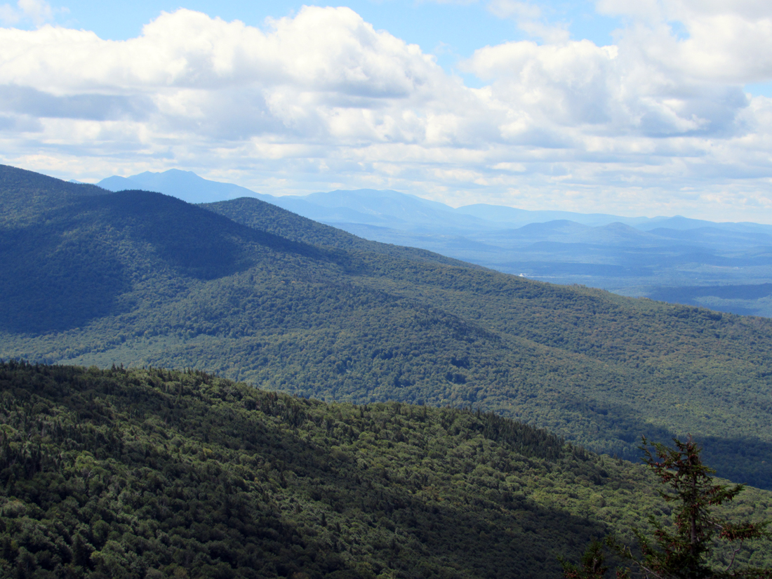
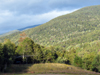
Looking northeast across the lower slopes of Wildcat Mtn after leaving the AMC Pinkham Notch Visitor Center. |
|