|
The
day began foggy and cool, but cleared somewhat as the morning
wore on, warming up considerably and stayed humid and hazy, which
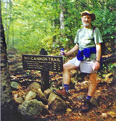
made hiking sweaty and tiresome. We parked the car at Lafayette
Place by and started up Lonesome Lake Trail around 9 AM. We soon
turned onto the Hi-Cannon Trail , which climbed steeply up the
mountain via numerous short switchbacks.
We
didn’t see any other hikers until after the Dodge Cutoff junction.
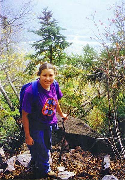
Further up, we took some photos of Franconia Ridge from the ledges.
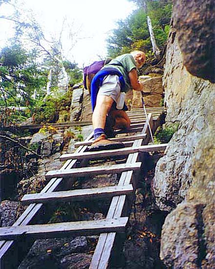
We climbed a ladder up a steep ledge but couldn’t find Cliff House,
which is supposed to be a natural rock shelter. We may have failed
to recognize it from its description in the guidebook. Above the
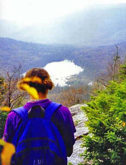
ladder, we took more photos of views to Lonesome Lake,
including one of Erin looking down at the lake.
A
short distance above the ladder, we met a two mothers hiking with
their kids. They were a bit slower than us, but seemed to be having
a good time. They stopped for a rest and snack while we went on.
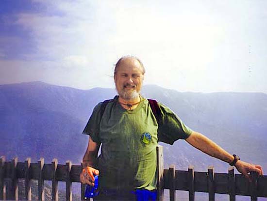
Finally,
we reached the Kinsman Ridge Trail and made it to the summit tower
just after noon. There were a lot of tourists on the summit who
had taken the tramway up. It felt strange mingling with them.
We ate lunch and rested in the tramway building, then started
down around 1:15.
We
decided to take a different route down, so we took the very steep
and sometimes poorly-marked Kinsman Ridge Trail over huge boulders
down to Coppermine Col. We weren't even sure whether we were still
on the trail or not until we met someone on his way up. We turned
left onto the Lonesome Lake Trail just before the Kinsman Ridge
Trail began climbing up the closest Cannonball. Although short,
the section of the Kinsman Ridge Trail we climbed down was so
steep and slippery, I wouldn’t take it to go down again; it would
be a lot safer going up.
The
Lonesome Lake Trail had new timber puncheons in the boggy area
northwest of the lake. After a quick trip down, we got back to
the car around 2:30 and then headed home. At the time, I thought
we had been particularly slow, but looking back on it, we actually
made pretty good time on this route, especially considering how
hot of a day it was. |