|
After
leaving home at 4:20 AM under a clear night sky, and driving northward
as the darkness gradually turned into a nice sunny day, I was
not amused when, upon entering Franconia Notch, the clouds suddenly
appeared, the temperature dropped, and it began to snow lightly.
But I was here, and hoping that the weather forecast for clear
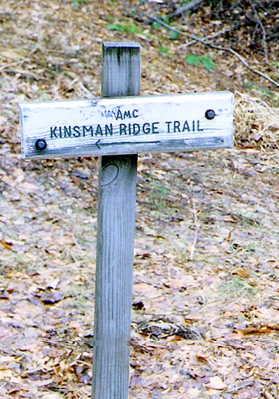
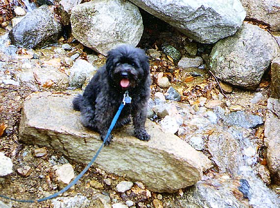
weather would bear true, Muffin and I started up the Kinsman Ridge
Trail from the Cannon Mtn ski area around 7 o'clock.
The
Kinsman Ridge Trail began gently enough, but soon began to climb
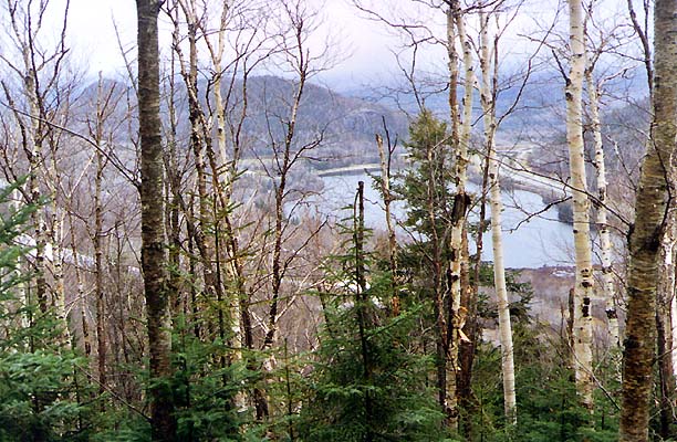
more steeply, roughly paralleling one of the ski trails. Not too
far up, there was a partially obstructed, but decent view of Echo
Lake, Artist's Bluff, and Bald Mtn at the extreme northern end
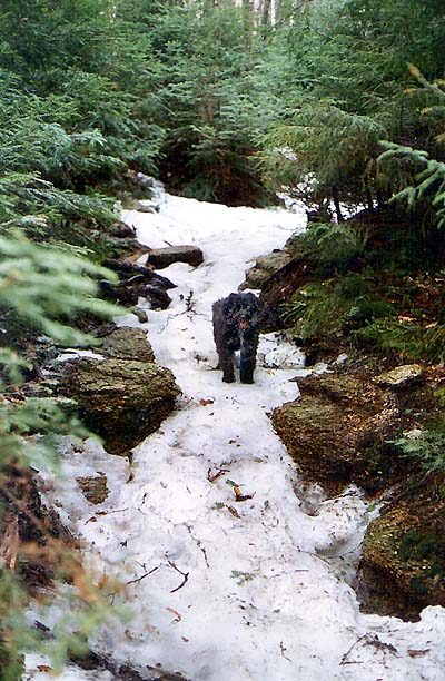
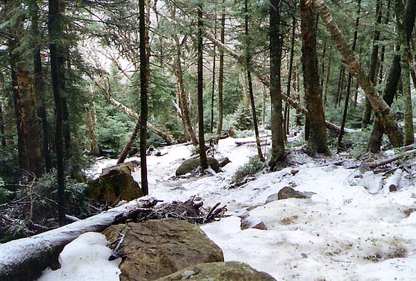
of the notch. The ground was bare until about 2300 ft, when the
snow began to appear in its customary spring form of a narrow
packed strip in the middle of the trail.
A
bit higher up, the route began to ascend a very steep, somewhat
open and eroded slope, occasionally switchbacking up the most
troublesome sections. The snow depth was greater here, entirely
covering the forest floor, and with a fresh dusting from the current
squall. The wind had picked up, whistling through the treetops
and spreading an icy fog across the side of the mountain.
Runoff
from melting snow was cascading down the slope, often gurgling
audibly beneath the layers of snow and ice. The surface was hard
and slick. Without crampons, I never would have made it. And even
with my crampons on, one slip could have sent me careening down
the mountain with not much to dig into, even if I had brought
my ice axe. As usual, Muffin seemed to pick her way up the frozen
ground on unseen patches of stable ground. |