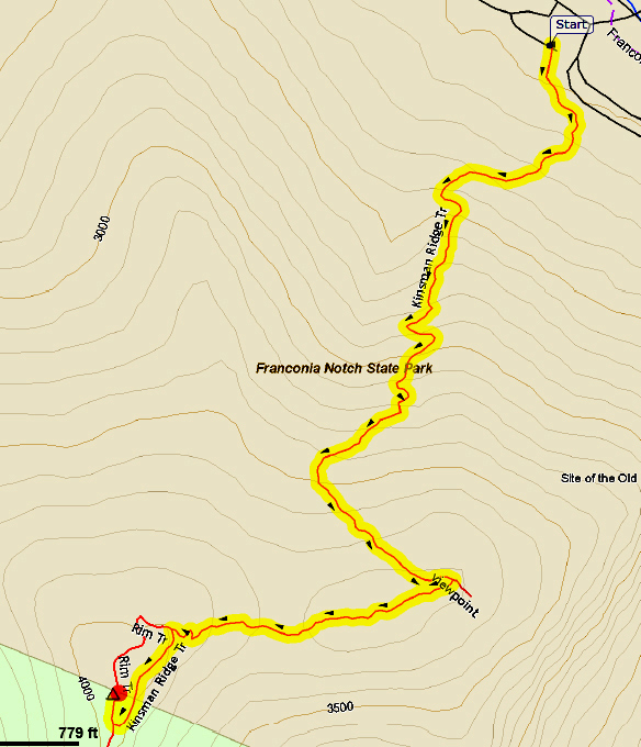
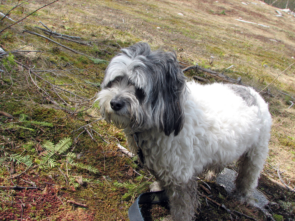
It had been a couple of months since our last hike up Mt Tecumseh, and Patches and I were ready to tackle another peak. I chose Cannon via the shortest route - the Kinsman Ridge Trail from the Cannon Mtn Tramway parking lot - as it would be a fairly easy hike, and I didn't want to overdo it just now. This would be Patches' seventh 4000 footer and my first time going up this trail since April 2004, eleven years earlier.
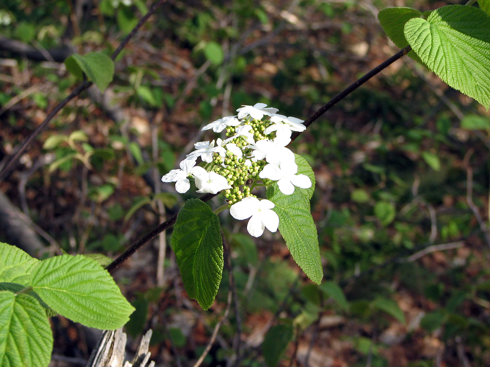
I parked in the tramway lot close to the trailhead. Although the ski season was over, there were people working around the tramway station, probably doing maintenance in preparation for the summer tourist season. We started up the trail around 7 AM. Spring had arrived in the lowlands, and the hobblebush was in full bloom, as were a number of lady slippers and other flowers. The weather was perfect for nice day hike, neither too warm nor too cold.
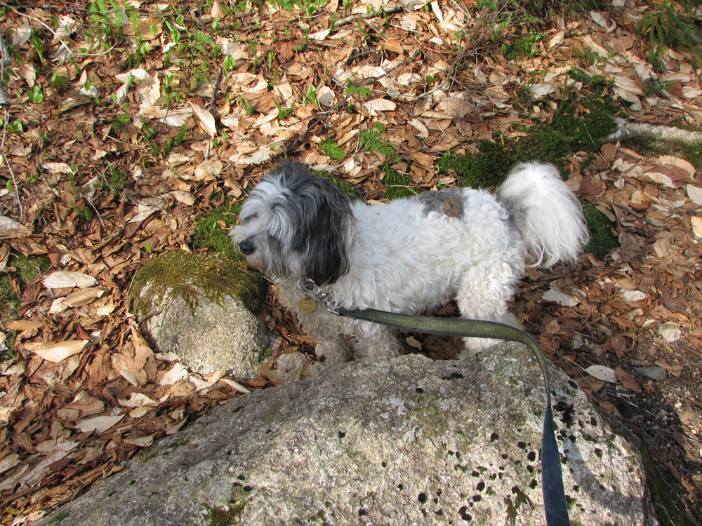
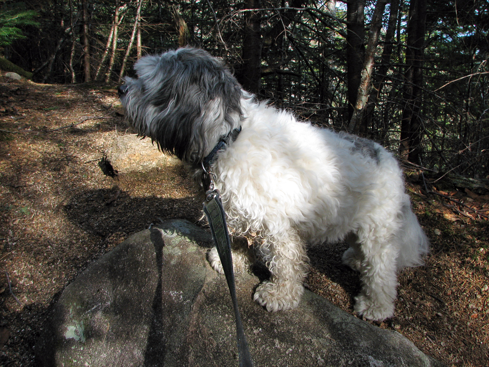
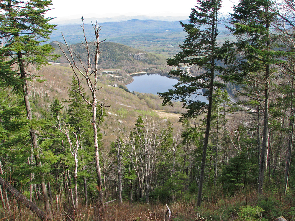
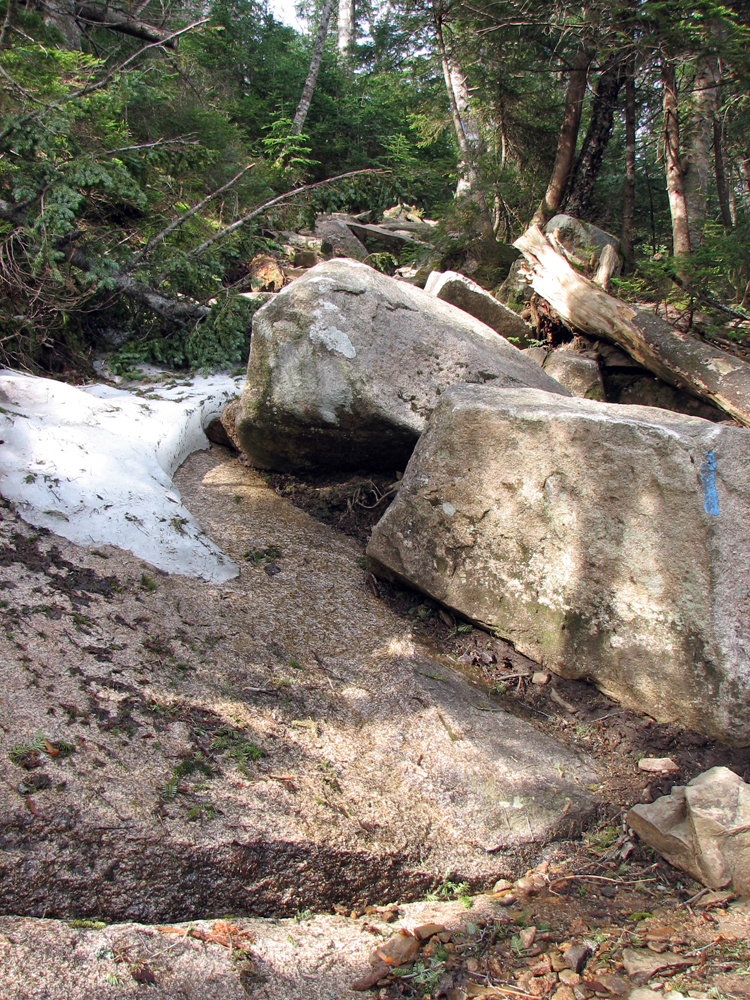
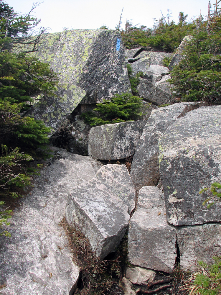
As usual, Patches stopped every couple of minutes to stare back down the trail, apparently expecting someone or something to be coming up from behind. Down low, our trail never strayed too far from the southermost ski trail, and after about an hour, we came to a spot where we got a pretty good view back down to Echo Lake, Artist's Bluff, and Bald Mtn. Here, the trail wound through a fairly open glade, but the path was rough, rocky, and somewhat slow-going. Finally it began to veer off to the south, the woods became thicker, and there were even a few patches of snow on the ground in shady, sheltered areas.
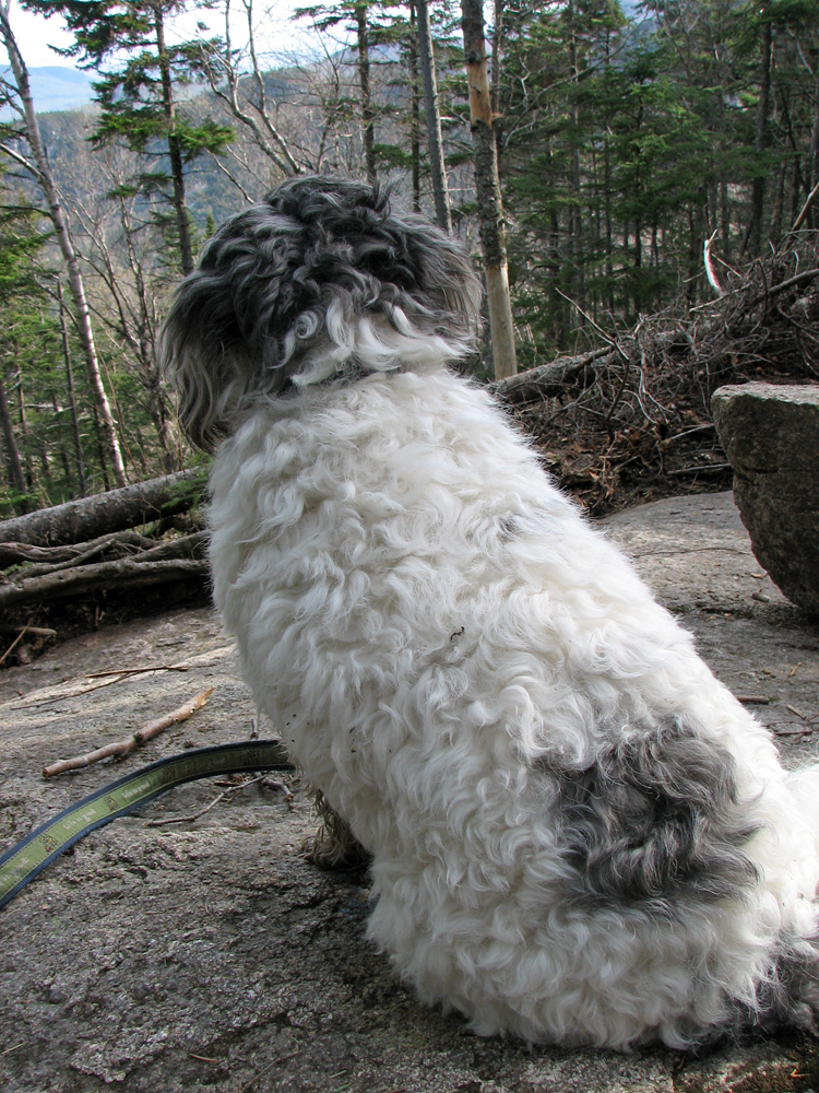
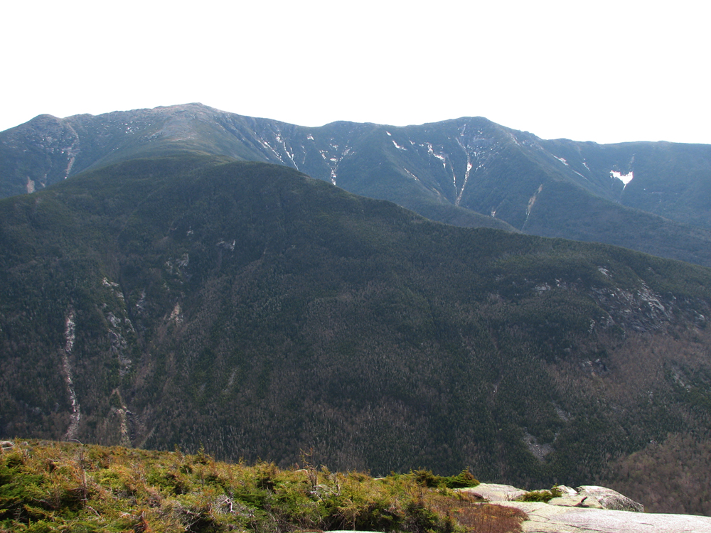
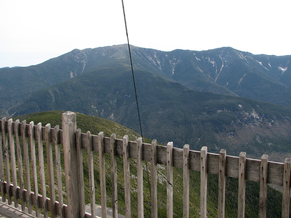
I was glad when we finally reached the open ledges just above the Cannon cliffs and the former site of the Old Man of the Mountains. Here, there were spectacular views of Franconia Ridge, and directly across the notch from us, Agony Ridge - the route of the Old Bridle Path - rose steeply toward Greenleaf Hut and Mt Lafayette. Far below us, I-93 meandered southward on its journey to Concord and Manchester, while above us, the Cannon Mtn observation tower stood starkly atop the summit.
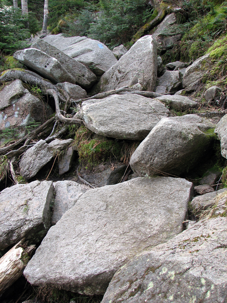
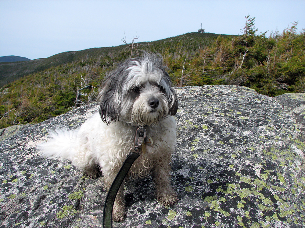
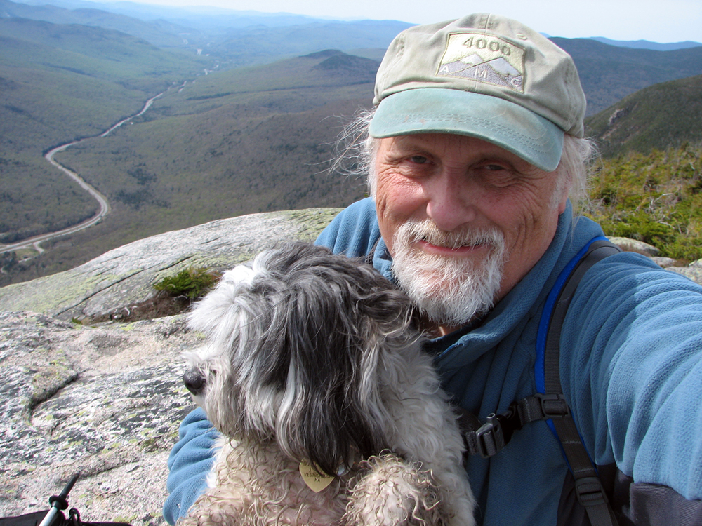
After a quick snack and a few photos, we scrambled up the steep, rough, boulder strewn path toward our goal. A half hour later, we were ascending the final steps to the top of the observation tower, trying to stay ahead of a group of noisy prattling students, apparently on a field trip, who had come up the other side of the mountain from Lonesome Lake Hut. Patches and I managed to spend a couple of solitary minutes on top of the world before we were overrun.
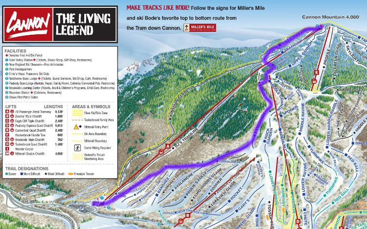
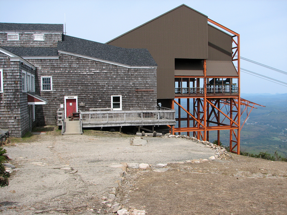
Making our way back down the now congested steps of the tower, we headed for the quiet of the deserted tranway station, not far below the summit. During the ski season, this place is in full swing with skiers zipping by on their way down the mountain, others sitting outside on the deck drinking, eating, and talking, and all with the steady low-pitched drone of the tramway cable turning around its immense cog wheel inside the structure. Like a mile-long bass violin string, the cable hums in tune with the huge motor in the base station, amplified through the upper station's cog and supports.
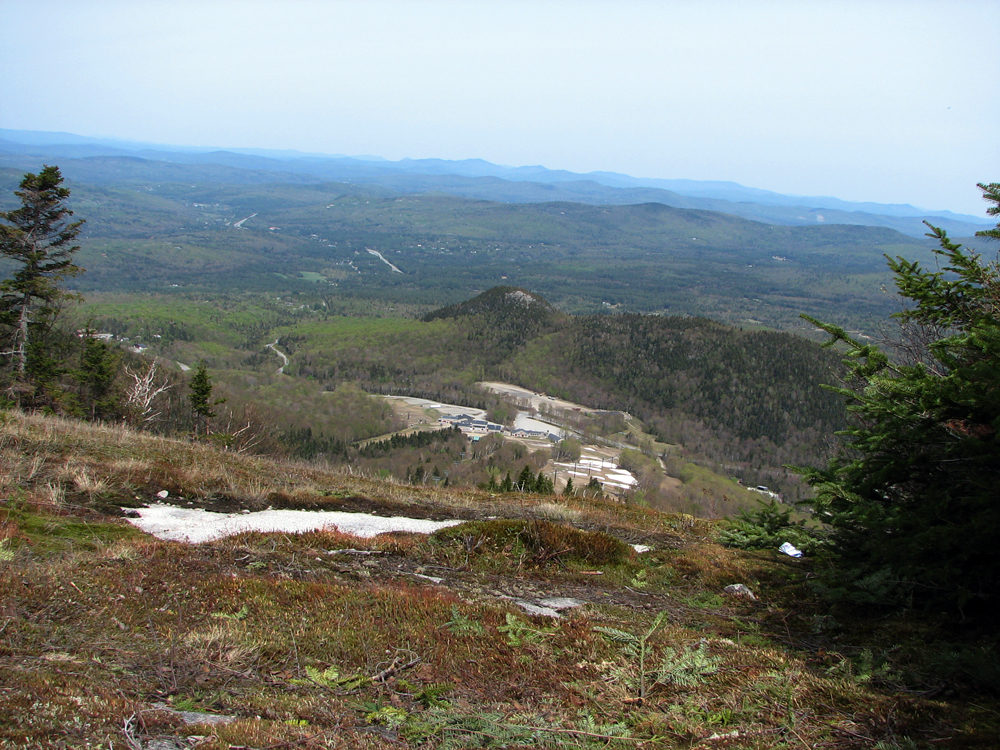
In order to speed our descent, I decided that we would follow the network of ski trails back down to the parking lot, rather than pick our way down the much rougher Kinsman Ridge Trai. And the open ski trails provide much more spectacular views of the distant hills to the northeast. Partway down, we stopped by the edge of the Bypass ski trail for a snack. It was a quiet and peaceful spot to rest for a few minutes, and the moss-carpeted ground provided a soft, though slightly damp, place to sit. I think that Patches' favorite part was sharing a few of my Cheetos.
Back at the bottom again, we made our way past the tramway base station and across the parking lot to our car. Patches, who has never liked car rides, was beginning to get slightly more tolerant of them, enough to get in the car by herself instead of pulling in the opposite direction. And on this trip, she found a way to make the ride more comfortable for herself by lying in my lap and looking out the window. And as long as we going a steady rate of speed down the highway, she didn't even drool. |