|
I was attempting an ambitious hike this
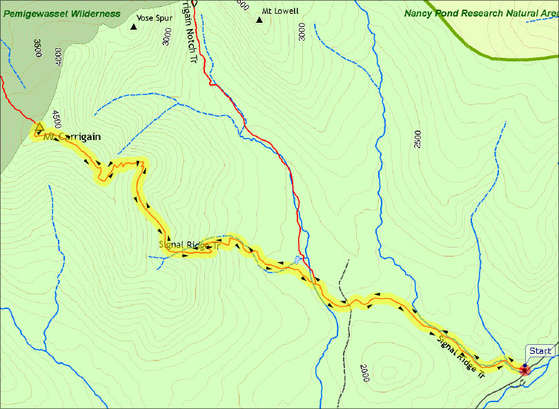
time. My plan was to park at the Signal Ridge Trailhead, climb
Mt Carrigain, descend via the steep Desolation Trail, make my way to
Stillwater Junction on the Carrigain Notch Trail, and then hike the
entire length of the Wilderness/Lincoln Woods Trail out to the
Lincoln Woods Trailhead and get a shuttle back to my car. I actually
had two purposes in mind, The first was to climb Mt Carrigain again
and hike the Desolation Trail and a portion of the Wilderness Trail
I had never been on. The second was to photograph the suspension
bridge over the East Branch of the Pemigewasset, just beyond the
Bondcliff Trail and Black Brook bridge. The Forest Service was
planning on dismantling both the suspension bridge and the Black
Brook bridge a couple of days later, so it was either now or never.
Usually, I plan a trip based on near
perfect weather, but I didn't have the luxury this time, and as
it turned out, it had rained quite a bit the night before. It
was still cloudy with a bit of mist in the air when I started up
the Signal Ridge Trail in the early fall morning. I was hoping that
it would clear by the time I reached the top.
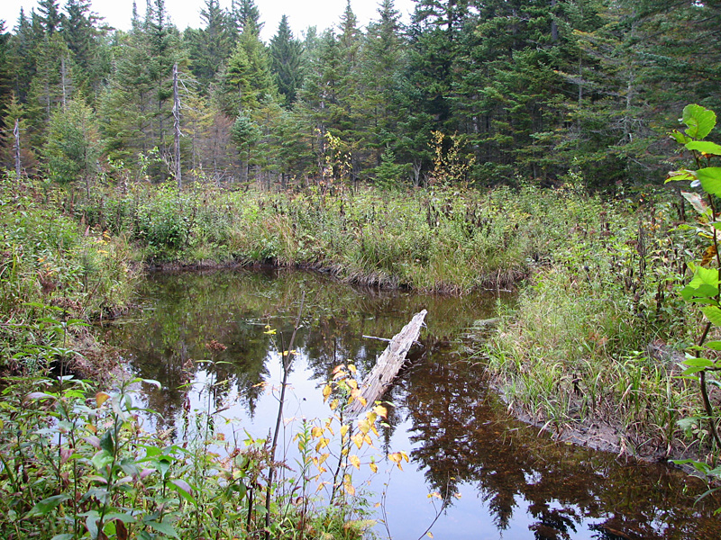
The Signal
Ridge Trail started off relatively flat, and then soon crossed Whiteface
Brook, following the brook up an old logging road, and passing many
small cascades, as well as a beaver pond. Then, after
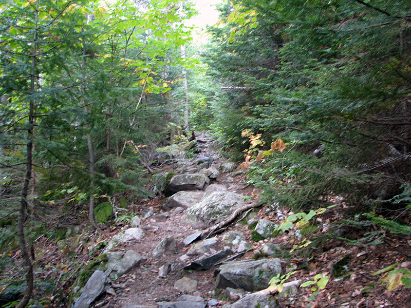
passing the junction with the Carrigain Notch Trail, the trail began to ascend more steeply. A
couple of switchbacks later, I entered a straight
birch-lined section that angled moderately up the east side of
Signal Ridge for about a mile. Occasional glimpses down into the
fog-enshrouded notch below were not promising of a break in the
weather.
Past the straight
section, the trail veered left and switchbacked its way up the
steep ridge as the trees got smaller and scrubbier. Eventually,
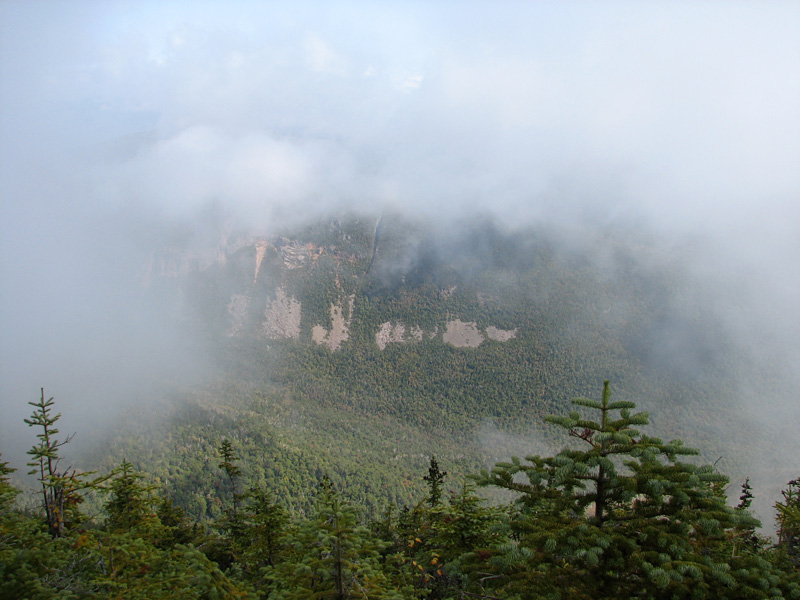
I broke out into the open and was met with a cool foggy wind,
with broken views through the shifting mist over to Vose Spur
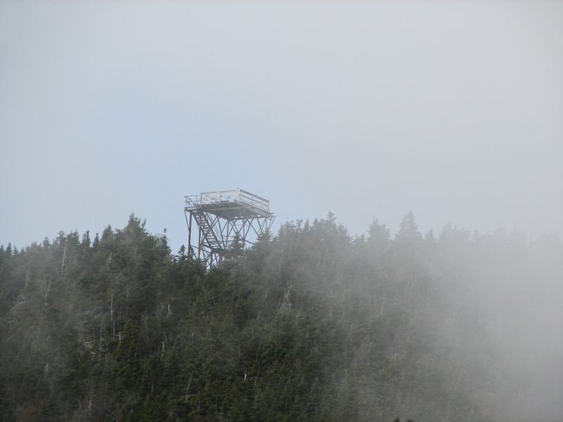
and down into Carrigain Notch. Ahead of me was the former fire
tower (now an observation platform) at the top of the summit
cone, which looked deceptively close, but which was still a bit
of a climb away.
The trail circled around the summit
cone to
approach it from the opposite side; on the way, I passed the
site of the former fire warden's cabin and well. After a final
steep pitch, I made it to the small summit clearing, which was
dominated by the steel framed observation tower. By now, I was
thoroughly tired, and was having some serious doubts about heading
down the steep, wet, and very likely slippery Desolation Trail. To
make matters worse, my cell phone had somehow used up most of
its power, which would make it impossible for me to call for a
ride when I got to Lincoln Woods. Giving it some thought, I
reluctantly settled on returning the way I came, and then
driving over to Lincoln Woods and hiking up the Wilderness Trail
to the bridges I wanted to photograph.
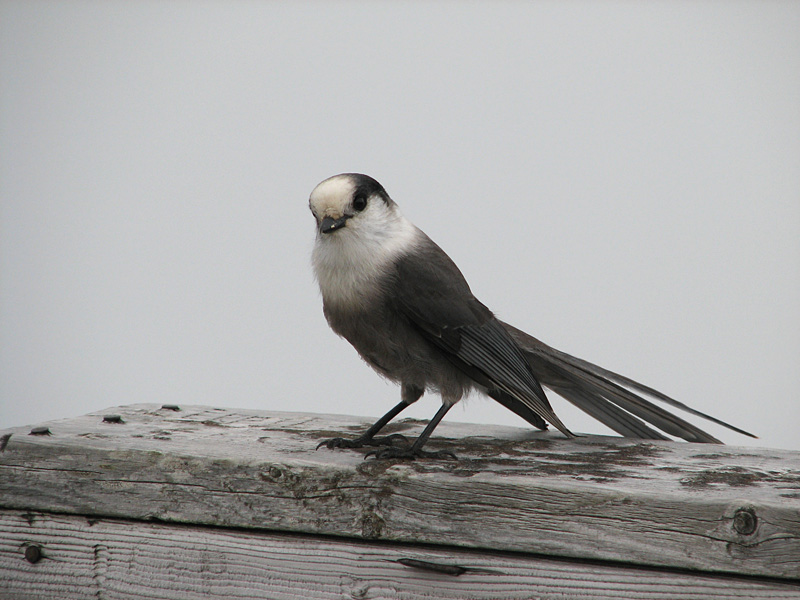
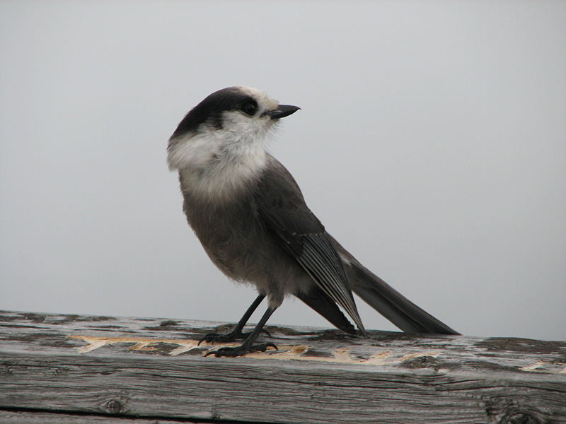
At the top of the tower, I met a
couple who had been resting up there and eating their lunch.
They were excitedly feeding the leftovers to a very persistent Gray
Jay, which veered in and sat on the railing waiting for the next
handout. This allowed me to get a couple of good clear pictures,
something I rarely get because Gray Jays usually aren't still
long enough to take a decent closeup. From the couple's
conversation, I gathered that they had never encountered a Gray
Jay this close before. This Gray Jay would be well fed today.
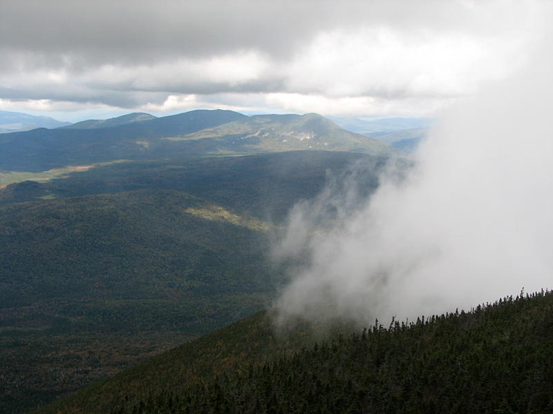
The cold wind and permeating fog made it
quite chilly on top of the tower, but I was okay for a while
after generating a lot of heating by climbing, so I didn't put
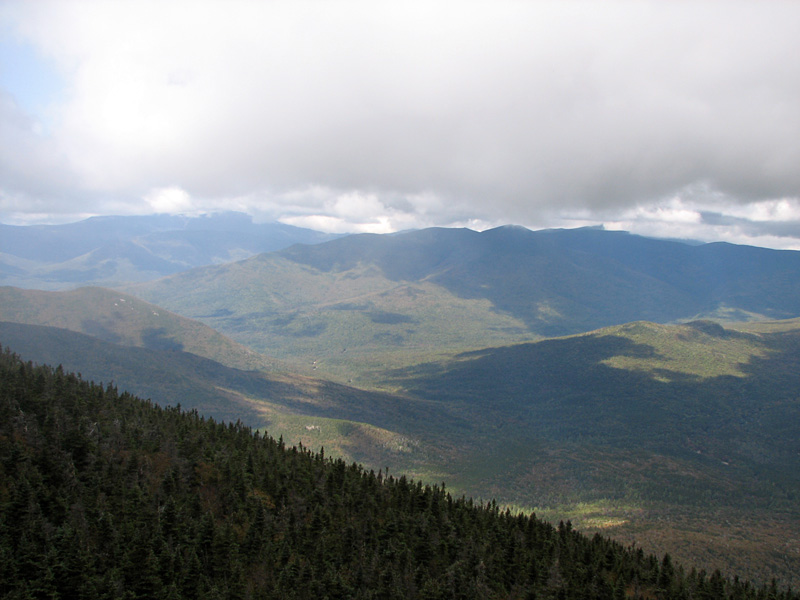
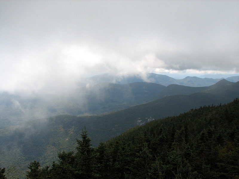
on my jacket right away. As the fog drifted about, I was able to get brief glimpses (and
photographs) of the western Pemigewasset Wilderness, the Bonds,
Owl's Head, Franconia Ridge, and southern Presidentials. It was
disappointing not have clear sunny views, but the fog was interesting
in its own way. Mountain fog always ebbs and flows in the unseen
wind currents circling around the peaks, seemingly giving it a
life of its own.
Knowing that I still had another long
hike ahead of me, I soon headed back down to my car. I made good
time thanks to the mostly easy footing, and immediately
began my drive through Bear Notch and up the Kancamagus Highway
to Lincoln Woods. |
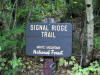
Signal
Ridge Trailhead. This trail begins tqo miles from Rt 302 down the
gravel Sawyer River Road. |
 |