|
Since we never made it to Carter Dome on our last trip to South and Middle Carter, I decided to make that our destination for the day. This time, we drove up the day before and spent the night camping at Dolly Copp. Since it was a Sunday, most of the crowds had already left so there were plenty of spots, even with over half the campground closed for renovation.
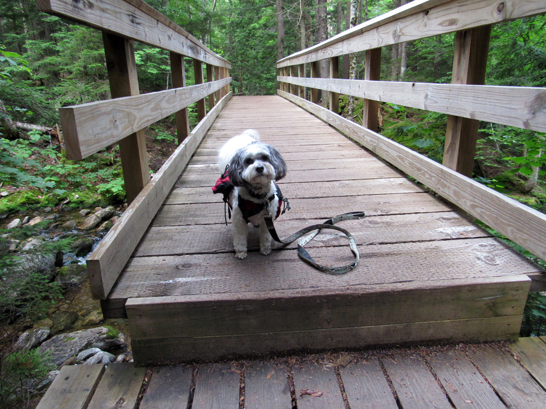
We got up early the next morning and I took down the tent as quietly as possible while Patches watched me from where she was tied up at the picnic table. We then put everything back in the car and drove away. I ate breakfast while we headed over to the nearby 19-Mile Brook Trail. As on our last trip, the hike up the 19-Mile Brook Trail went smoothly. The bug situation was better this time so I just put on some repellent, and didn't need to wear the head net.
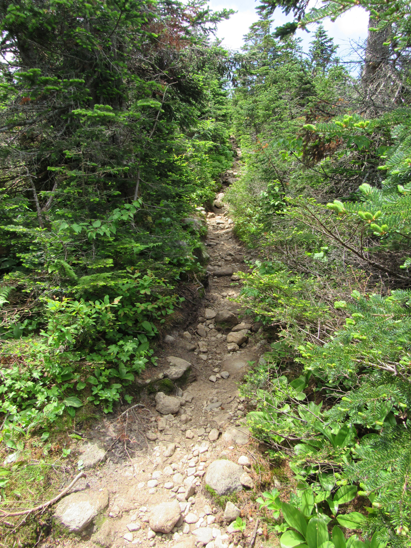
The numerous blowdowns on the lower section of the Carter Dome Trail along the brook had all been cleared away since we'd been there last, so we had a much easier time of it. After climbing up the switchbacked upper part of the trail, we once again arrived at Zeta Pass, a perfect place for a rest. Patches ate her breakfast (which she had refused to eat back at the campsite) and I sat on a log munching on a power bar (deja vu all over again). I had a much easier time eating and drinking without the bug net over my mouth.
Based on the trail description in the AMC's White Mountain Guide, I was cautiously optimistic that the climb up to Carter Dome would be much easier than the trek over South and Middle Carter, but I wasn't getting my hopes up. I had descended the Carter Dome Trail from Carter Dome once before but it was back in 2005 so I didn't really remember it very well. There was a short rough section, about a tenth of a mile long, from Zeta Pass to where the old firetower road began. After that. it was smooth sailing. The trail ran straight up the mountain, it wasn't at all rough, the grade was consistently moderate, and there were no ledges that we needed to scramble up. I was elated. We made good time.
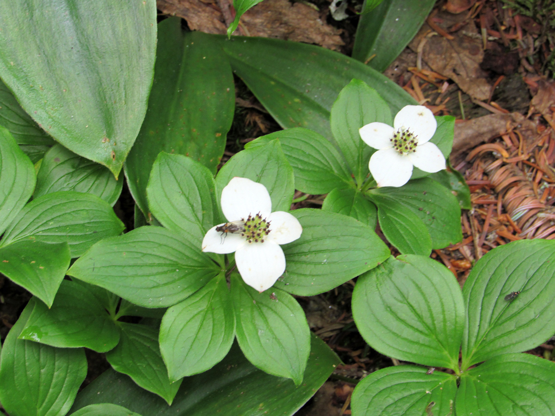
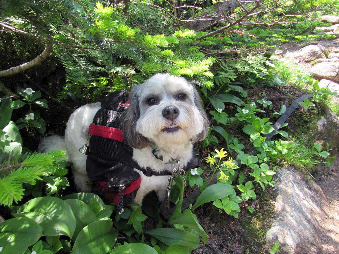
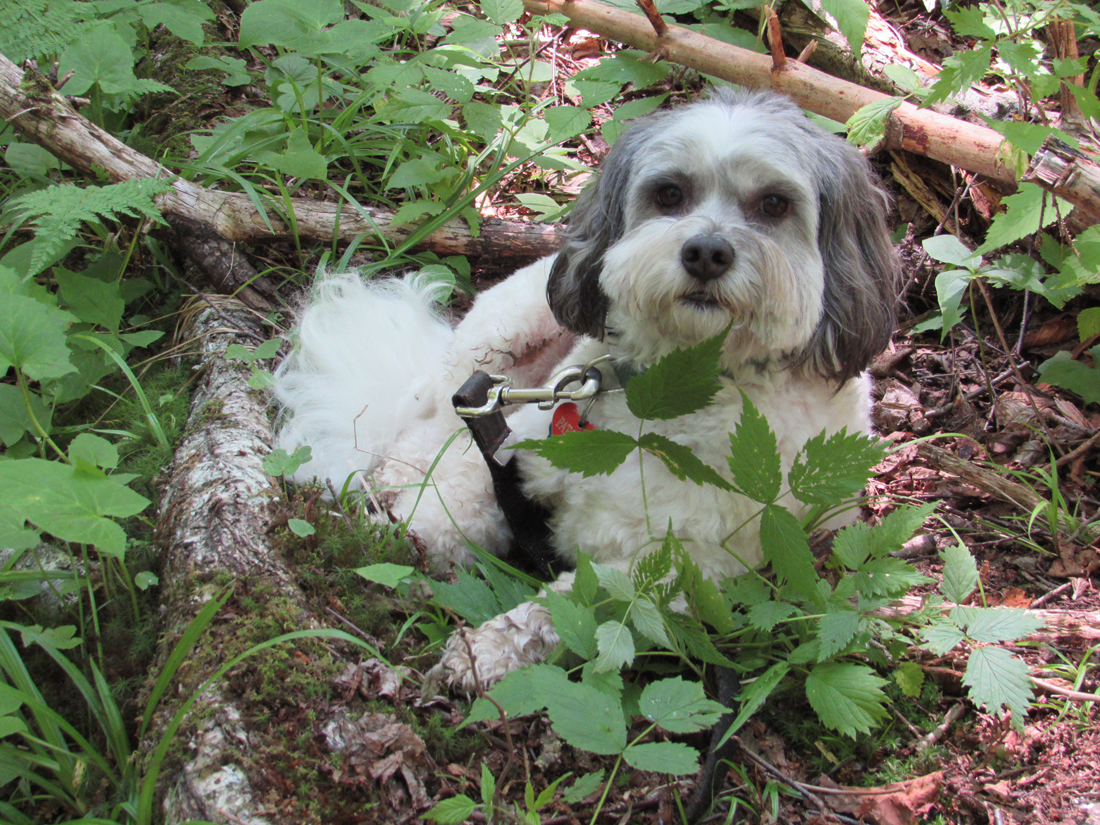
Along the way, there were occasional restricted glimpses west to the Presidentials through the trees. As we climbed higher, the trees gradually became smaller and scrubbier. Bunchberries grew abundantly along the sides of the trail. At a spot where some clintonia was mixed in with the bunchberries, I stopped to take a closeup photo. Patches then decided that she needed some shade and crept in to rest under the krummholz right on top of the bunchberries. The moss growing there amongst dead fir needles also made a soft carpet for her to sit on.
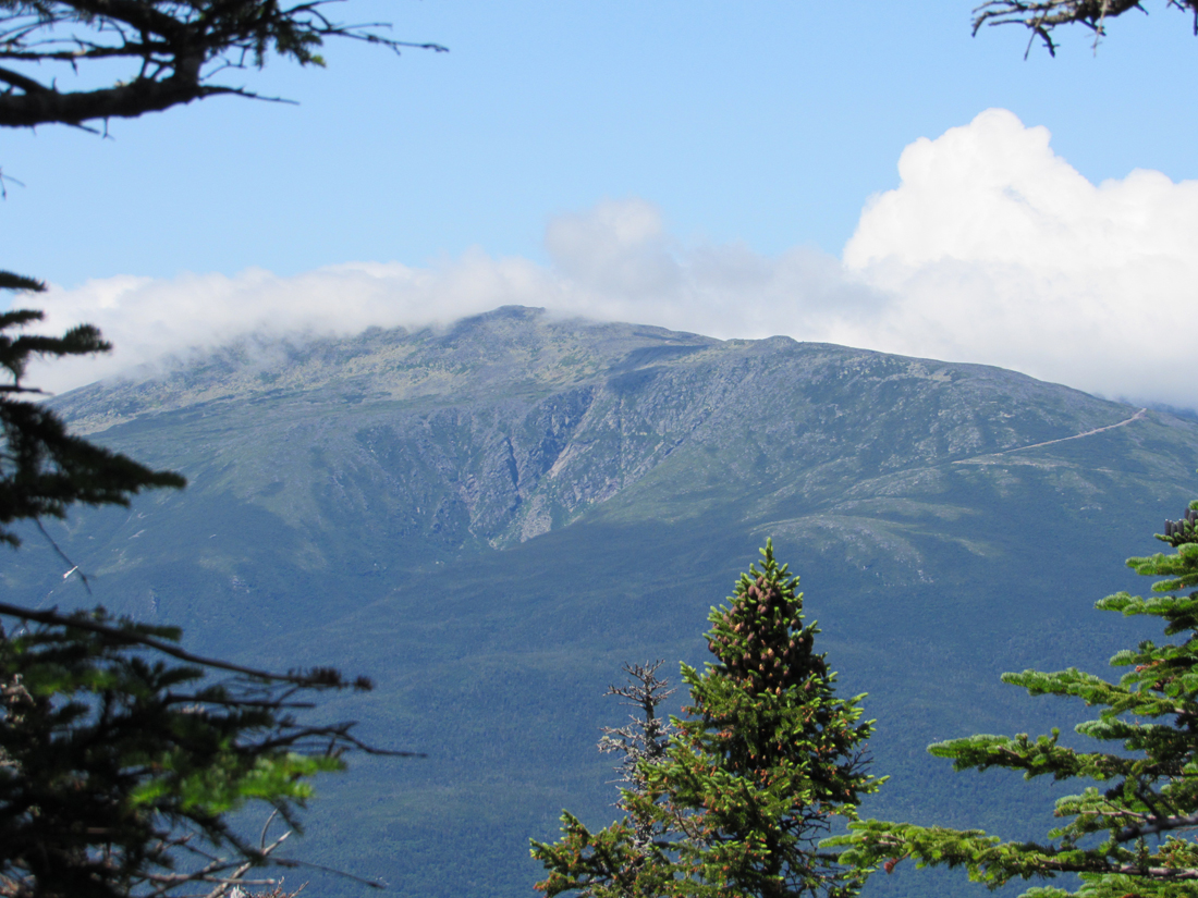
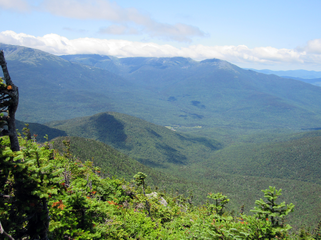
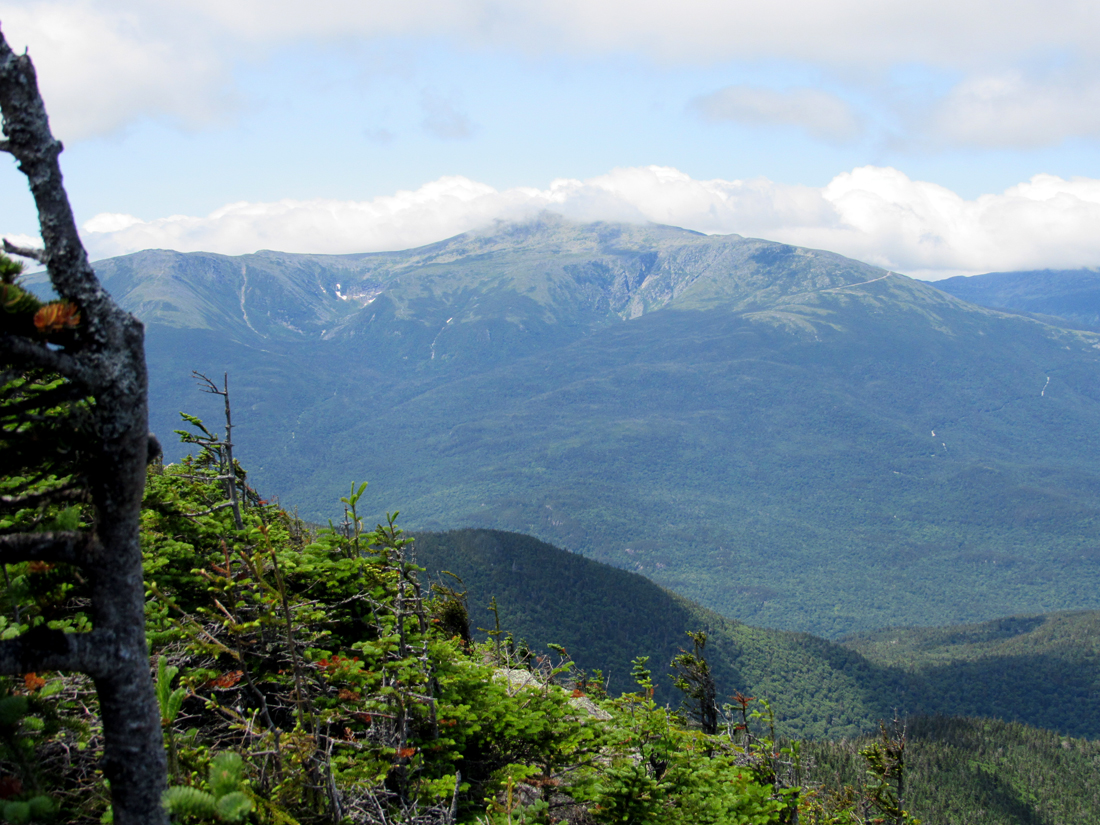
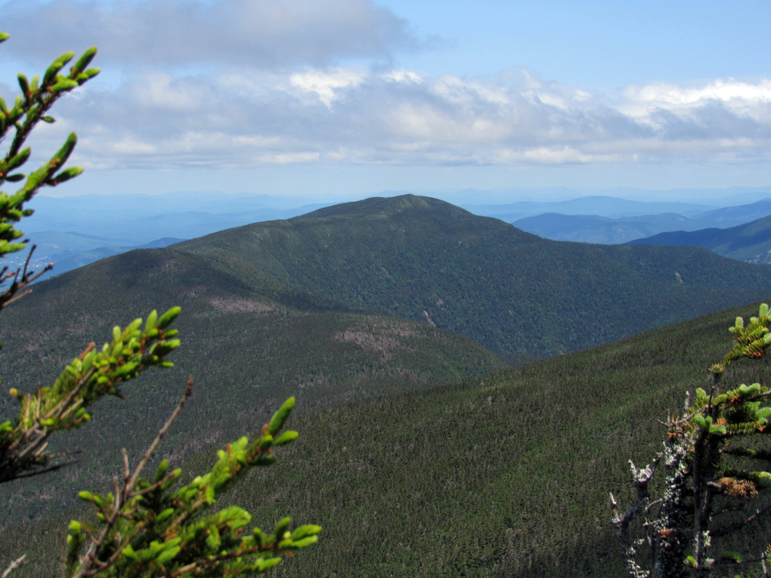
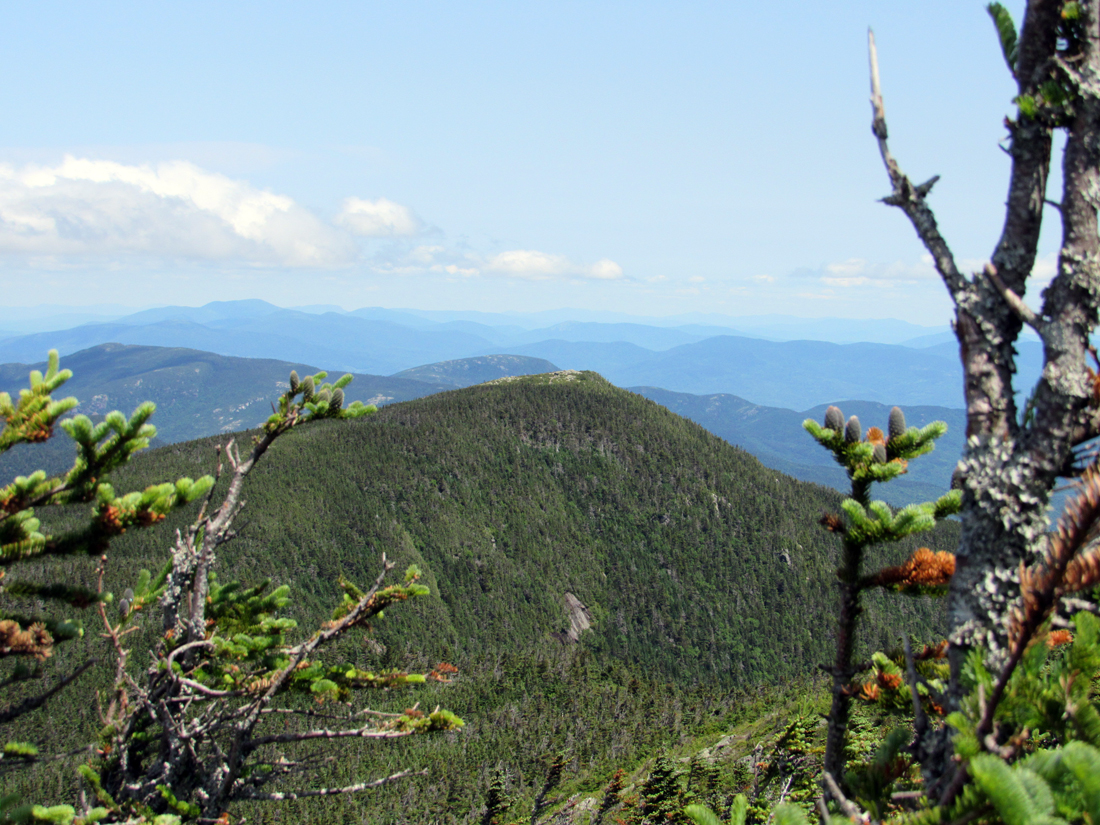
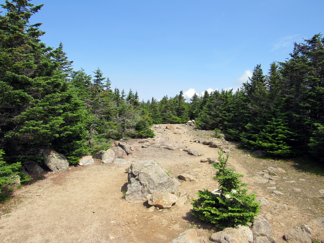
Not long after that, and just before reaching the broad flat open area at the Carter Dome summit, there was a very short gap in the krummholz that led to a viewpoint overlooking Mt Washington and the Northern Presidentials. Low clouds skirted around the tops of the summits, but did not completely cover them. Patches walked right up to the precipitous edge which made me nervous so I had to pull her back. There was another viewpoint right off the summit area where I got a glimpse of the Carter Range to the north, including South and Middle Carter, and Mt Hight.
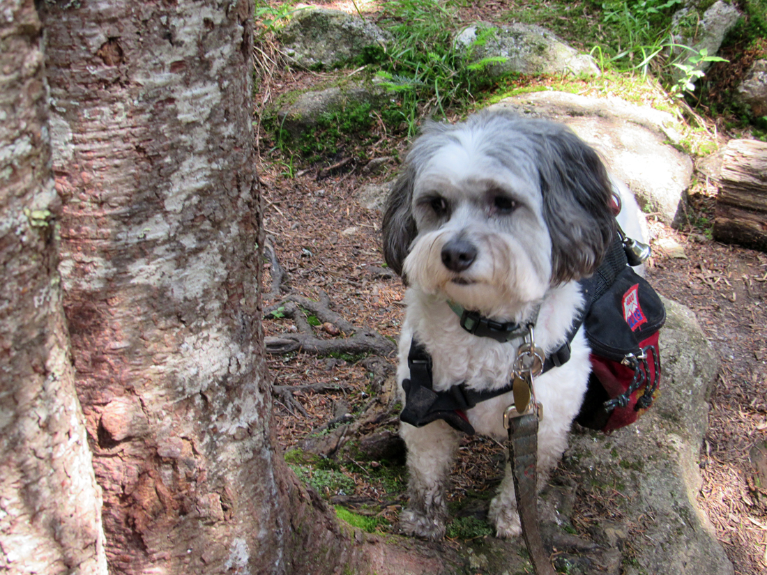
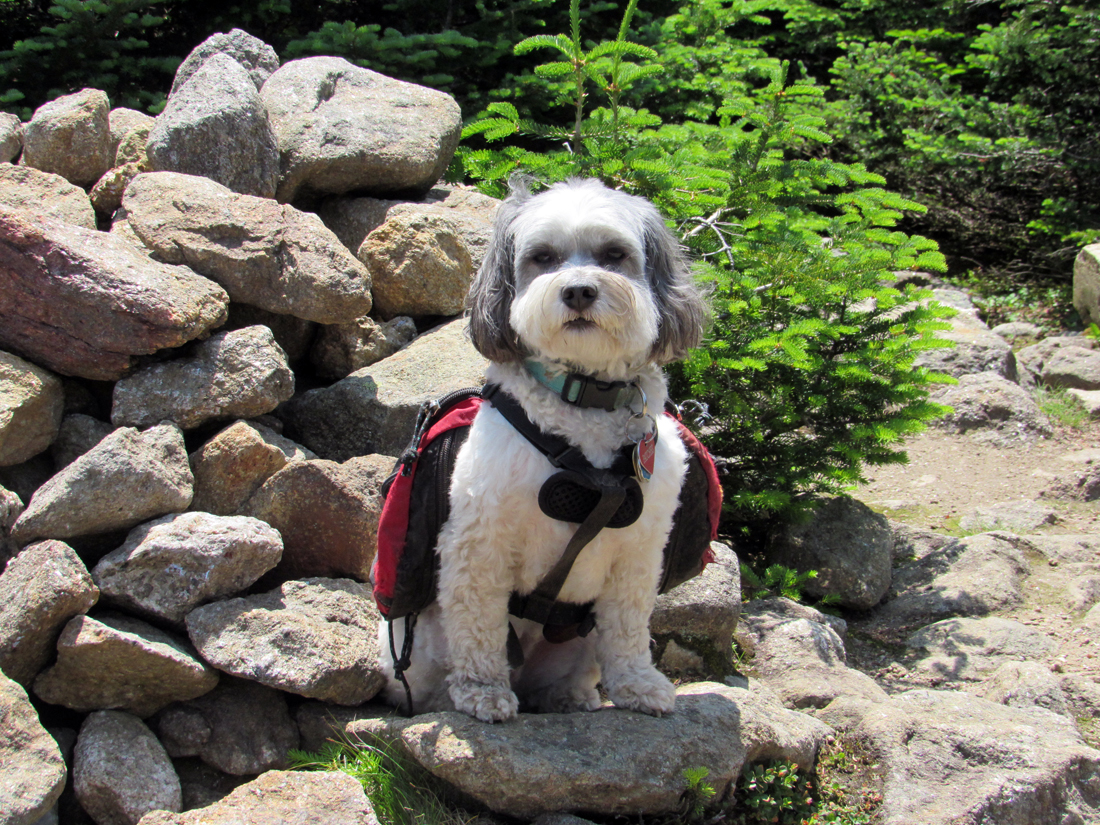
I sat down for a nice rest and snack while Patches hovered over me begging for handouts. I shared a few Pringles with her and gave her some water. The sun felt nice and warm on my shoulders although Patches seemed to gravitate to the shade at the edges of the open area when she wasn't crunching on potato chips. We were the only ones around and, except for the gentle soughing of the breeze through the treetops, it was serenely still. At the summit cairn, I took 6 or 7 pictures of Patches just to obtain one good shot of her looking at me.
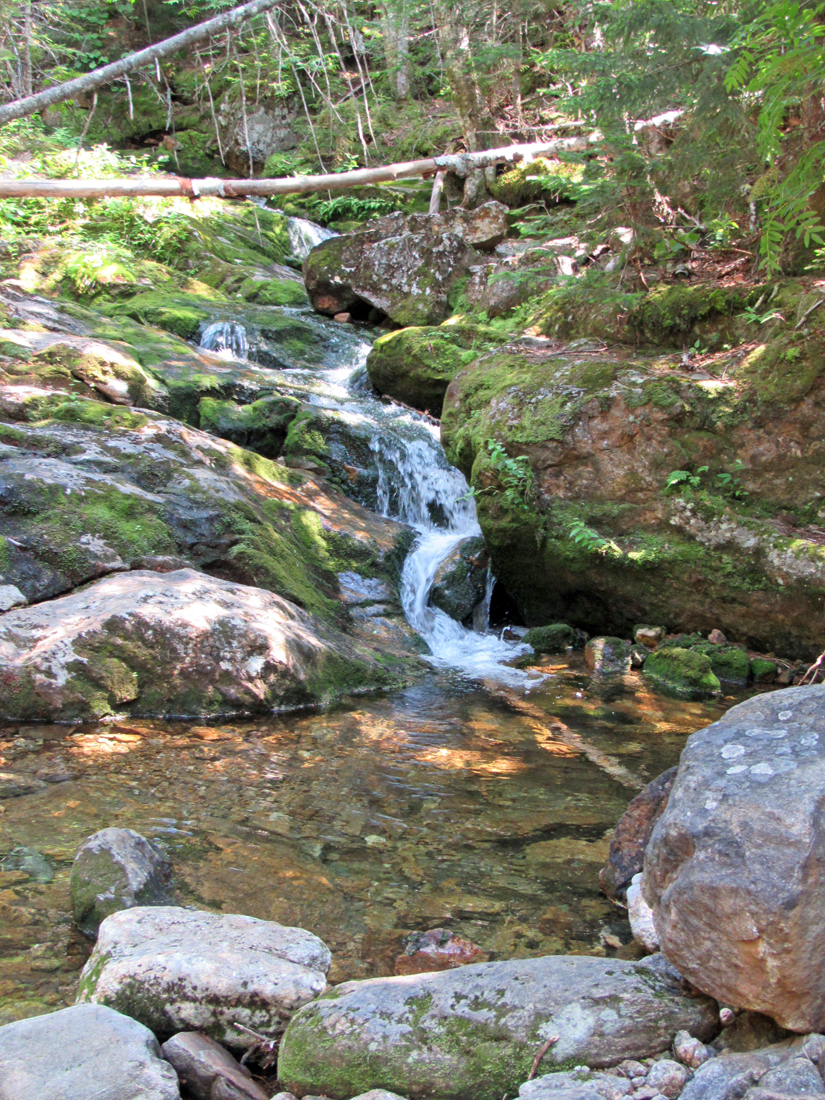
We quickly descended the trail back to Zeta Pass, and then immediately continued down through the switchbacks to where the trail crossed the brook, stopping only to take a picture of a small cascade. About halfway down the lower portion of the Carter Dome trail, I stopped to pull another bottle of water from my pack while Patches once again retreated into the shade and soft duff of the forest floor off the trail. The remainder of our hike down was uneventful except for a large gooey mud patch near the trailhead that I had to wipe off Patches' legs and chest back at the car.
This was Patches' 37th 4000-Footer. She now had only 11 more to go.
|
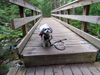
Patches about to cross the footbridge over the 19-Mile Brook, from which the trail gets its name. |
|