|
After
sleeping a little late the next
morning, I packed up my stuff, ate a quick cold breakfast, and
headed up the Carter-Moriah Trail for Carter Dome. The weather
was perfect with no clouds in the sky. The trail most of the way
up to Carter Dome is extremely steep, but not ledgy, and it’s
kind of a nice climb in good weather. It climbs up in the woods
just to the north of the rocky treeless area that the Rampart
boulders fell from, so there are good views all along the way
to the south and sometimes to the west.
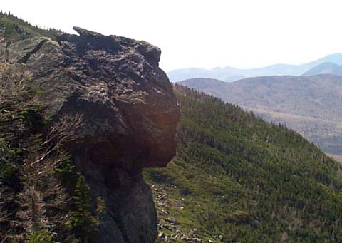
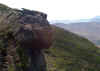
About
halfway up, there is a nice overlook back down into the notch,
with a view of a large outcrop known as Pulpit Rock. Actually,
this rock looks more like a person’s head from this angle, but
kind of resembles a pulpit more when viewed from down in Carter
Notch.
After
resting at the overlook for a few minutes, I continued up the
trail, which slowly begins to moderate, angling uphill away from
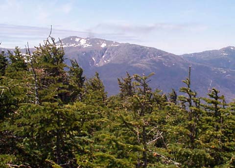
the treeless area. About an hour later, I reached the partly bare
summit, with the best views off to the northeast toward
Mt Washington and the Northern
Presidentials. Just before the actual summit, I stopped for
a short rest and a snack.
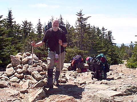
While
I was on the summit, three college-age guys, also climbing up
from Carter Notch, caught up to me. I took a picture of them with
Mt Washington in the background, and they took one of me at the
summit cairn.
Soon,
I headed down the Carter-Moriah Trail in the direction of Mt Hight
and Zeta Pass. This side of Carter Dome, which faces northeast
and is shadier, had quite a bit of snow left on the trail, mostly
in a narrow strip in the middle where winter hikers had compacted
it.
The
trail wound downhill, reached a junction with a bypass to Zeta
Pass, then began to climb Mt Hight. Mt Hight is not an official
4000-footer since it doesn’t rise high enough above the Carter
Dome-Mt Hight col, but it is a worthwhile climb because its above-treeline
summit has the best views in the range.
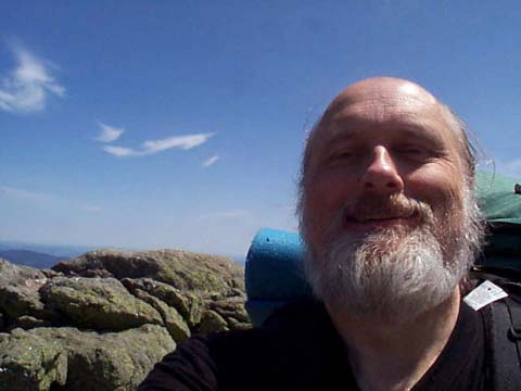
On
top, I met two hikers going in the opposite direction. They had
stayed at the Imp Shelter, my intended destination, the previous
night. Before leaving, I took another self-portrait.
|
Pulpit
Rock from an outlook on the Carter-Moriah Trail. This great spot
is off a short side path simply marked "View". Besides
Pulpit Rock, you can look way down at the hut and pond. |
 |