|
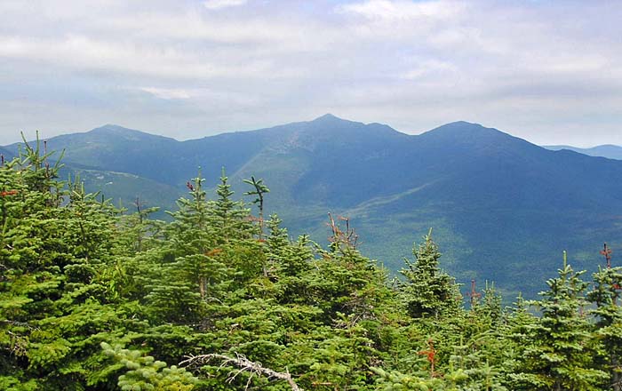
Trees obscure all views to the south,
west, and east, but the summit of Carter Dome has some good views to
the north and northwest, including the Northern Presidentials and
the rest of the Carter Range. The sky wasn't quite as clear as
yesterday, but no rain was predicted and none of the clouds were low
enough to restrict views. Middle Carter still looked a long way off,
so we soon started down the trail.
Even though Mt Hight has the best views
in the range, I decided to skip it and just concentrate on climbing
the peaks on the list. I wanted to minimize the day's mileage for
Muffin's sake (thanks to the lost booties), and I also wanted to
make sure we got to the Imp Campsite in time to grab a tent
platform. Besides, I'd been there before, and I'm not sure how
important views are to Muffin.
Anyway, we turned onto the Carter Dome
Trail to bypass Mt Hight. It was an easy downhill trek to Zeta
Pass; we reached it even more quickly than I had expected. Back at
Carter Notch Hut, I had only filled up three water bottles,
expecting to filter more along the way. I figured that, of all
places along this section of the trail, Zeta Pass was sure to have
at least some water, if only a trickle. Unfortunately, I was
wrong. There wasn't any water to be seen. Luckily, I still had
about a bottle-and-a-half left, so all I could do was to use it
carefully, and hope to find more ahead.
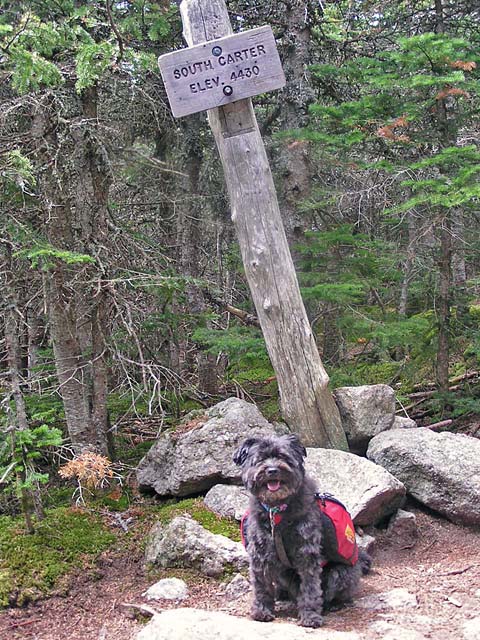
The hike up to South Carter isn't overly
steep or strenuous, and we made pretty good time. When we got there,
it was lunchtime, so we sat down at the edge of the trail to eat.
For me, that was a power bar and some potato sticks. Muffin gulped
down some dog food.
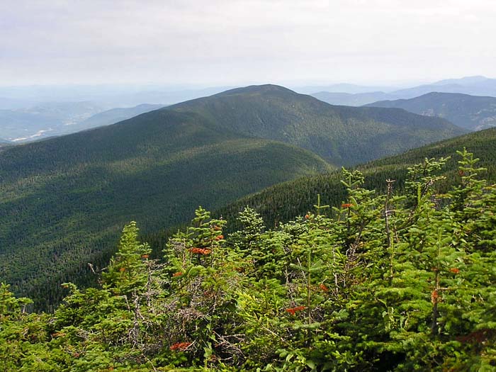
There are no views from South Carter as
it is completely wooded, but it wasn't important. It was another
peak checked off Muffin's list, we were making good time, and I knew
there were some pretty good views up ahead from Mt Lethe. |
Me on top of Carter
Dome. Although the weather was a bit cloudy, no rain
was predicted. |
 |