|
For this trip, I was hoping to climb all three of the Carters on the 4000-Footer list: Carter Dome, South Carter, and Middle Carter. Then we would only have to return to the Carter-Moriah Range to climb Mt Moriah. The plan was to take the 19-Mile Brook and Carter Dome Trails to Zeta Pass, head up the Carter-Moriah Trail to both South and Middle Carter, and then return to Zeta Pass and climb Carter Dome. Of course, I knew that this was all dependent on my energy level and the time it took to complete the hike up to South and Middle Carter. But by the time we reached Middle Carter, I was beat. Patches, of course, was fine but I couldn't really send her up Carter Dome all by herself while I waited.
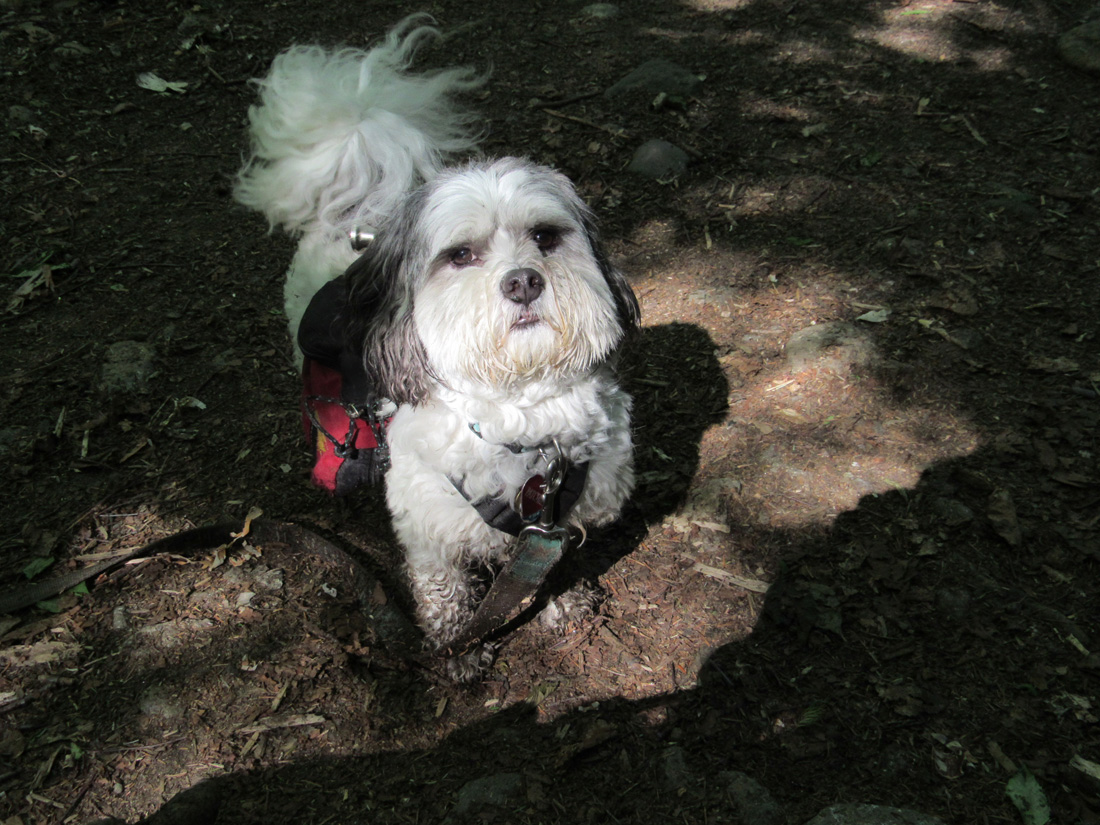
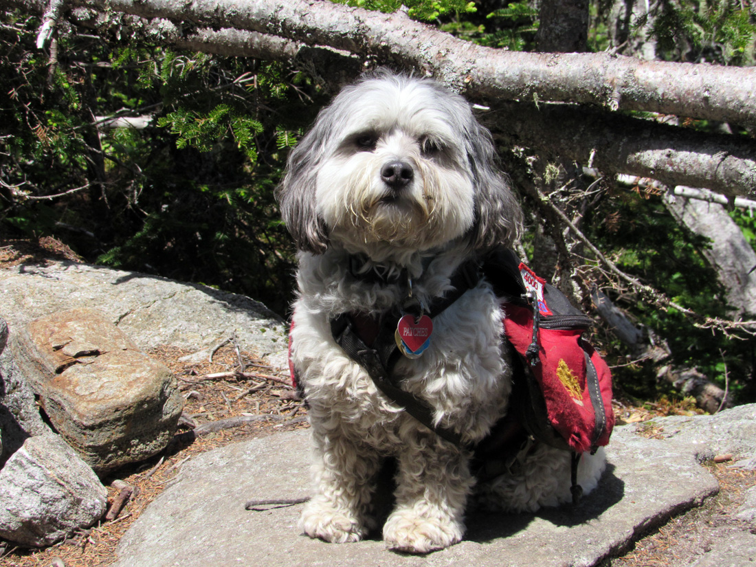
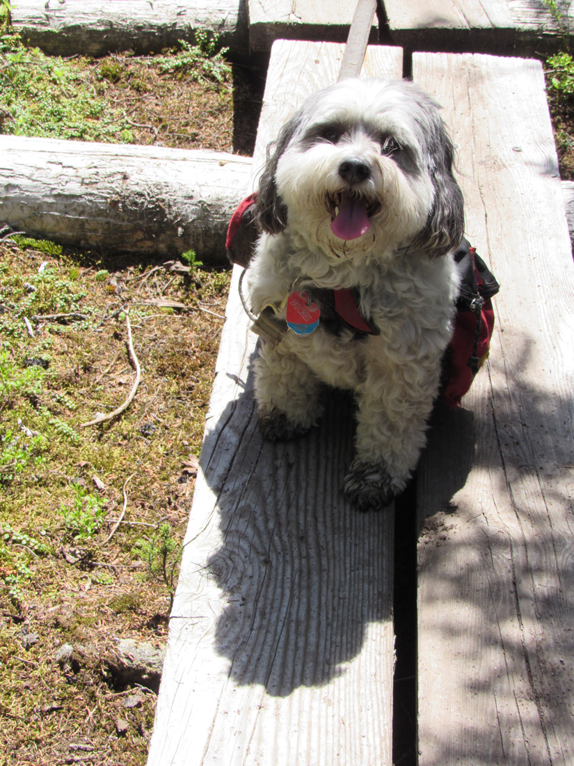
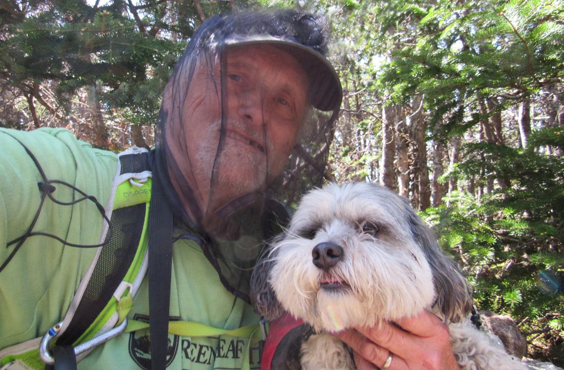
After parking at the 19-Mile Brook Trailhead, I put Patches' backback on her, and then donned my new bug head net. The blackflies and mosquitos had been brutal this year, so I bought a bug net for my head, some picardin repellent, and treated my shirt and hat with permethrin. The backflies had made me miserable on our last trip to Mt Whiteface, and I didn't want to go through that again. I was taking no chances.
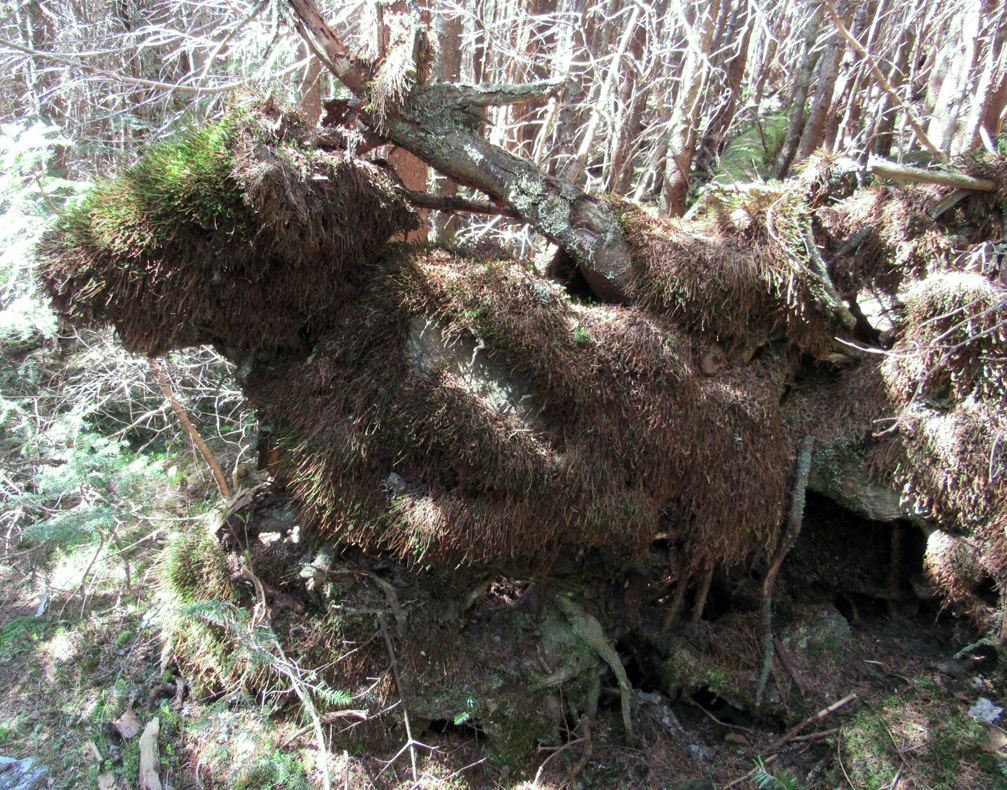
The first leg of our hike on the 19-Mile Brook Trail went well. The trail was in good shape, and the bugs were kept at bay, so we made decent time when Patches wasn't stopping to stare at the trail behind us to make sure that no one was sneaking up on us. The Carter Dome Trail was not as easy hiking.. There were quite a few blowdowns to step over, go around, or crawl under. It was also in need of brushing. After it crossed the brook and veered up and away from the thick undergrowth around the water, it was in much better shape. Here, we gained altitude much more quickly as the trail switchbacked up the side of the ridge.
We stopped for a short rest at Zeta Pass. Patches ate her breakfast while I sat on a log munching on a power bar. I had to remember to lift up the bottom of my bug net to be able to manouver the power bar into my mouth, and then quickly close it again before any bugs found the opening. A couple of times, I forgot about the bug net and ended up banging the power bar against the net covering my mouth. The blackflies were swarming like crazy while we weren't moving, but they didn't get through my net, bite my picardin-covered arms, nor bother my permithrin-infused tee-shirt. Still, just hearing them buzzing around me was really annoying.
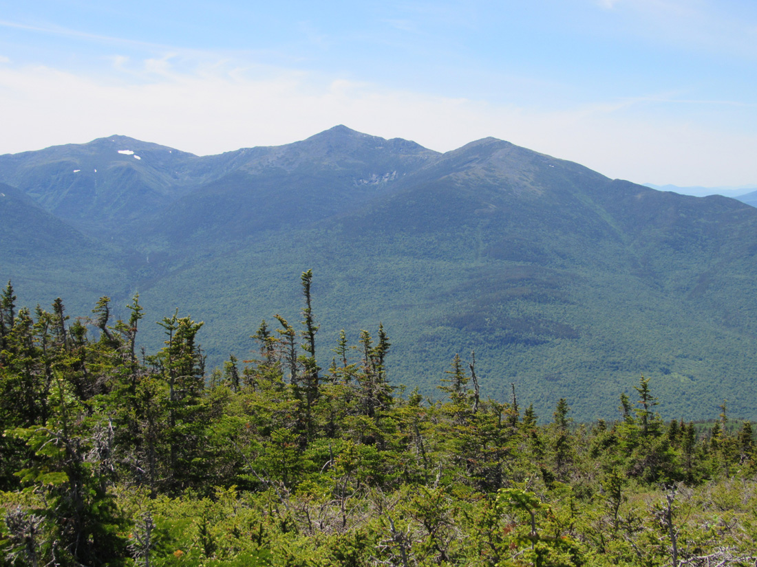
The climb up to South Carter on the Carter-Moriah Trail was mostly moderate, but became steeper as we got closer to the summit. After gaining a couple of hundred feet or so, we were finally able to get our first views of the day, looking up to Carter Dome to the south.
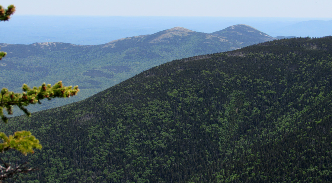
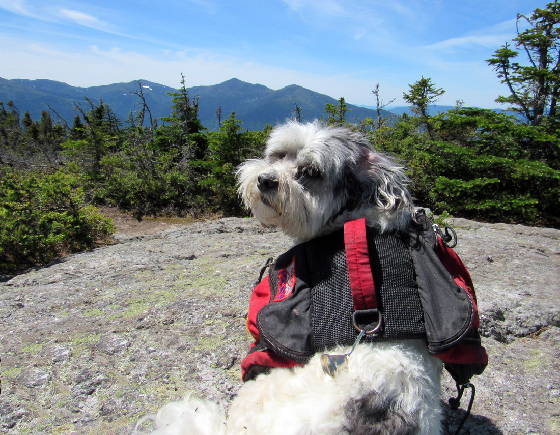
By time we reached the top of South Carter, I was starting to tire, and sowas ready for a rest. There used to be a South Carter sign on a tree at the summit, but it was no longer there. I took Patches' picture in a couple of likely locations, both of which were wooded and viewless. There was, however, an southeastern-facing viewpoint nearby, from which I could see Carter Dome and, in the distance, the Doubleheads. I'm not familiar with most of the terrain directly east of the Carters so I didn't recognize anything else. Haze obscured any very distant objects or I might have gotten a glimpse of the ocean.
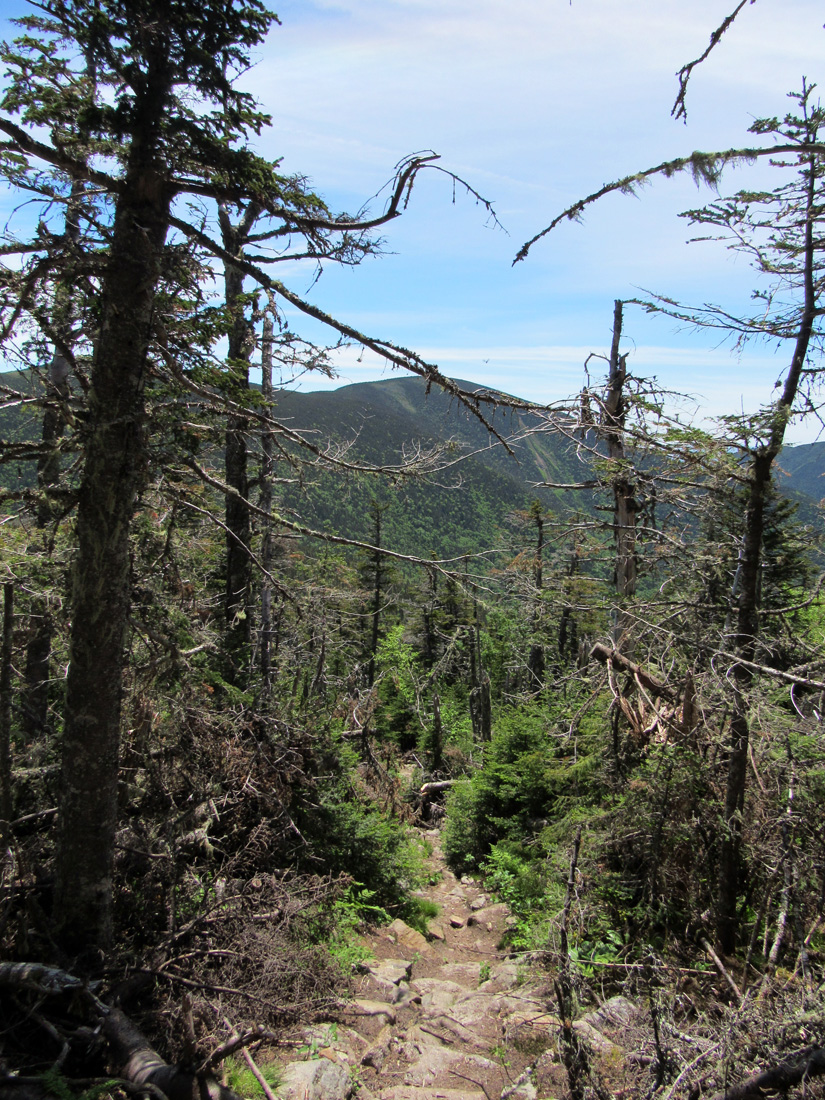
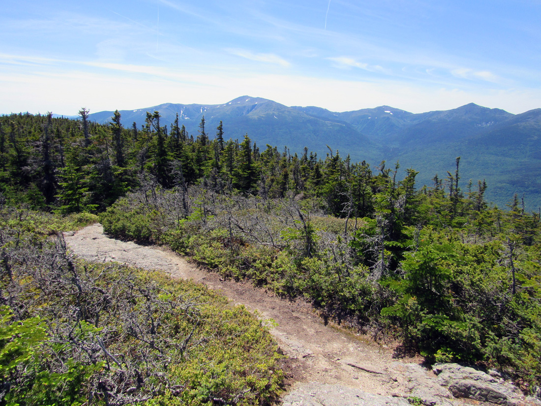
Our next destination was Middle Carter, 1.3 miles to the north.. Running along the crest of the ridge, the Carter-Moriah Trail wound up and over a number of ledgy humps along the way. According to the White Mountain Guide, it was supposed to descend a "short, steep ledge" just before making the final easy ascent to Middle Carter. The problem was that there seemed to be multiple short steep ledges that we had to climb down, so each time we came to one of these, I thought that it was the one mentioned in the book and that we were getting close to our goal. This was mentally tiring, which soon became physically tiring too. When we finally arrived at the "open area with a view west," I knew for certain that we were almost there.
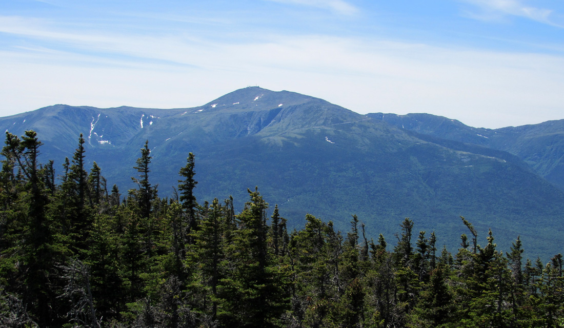
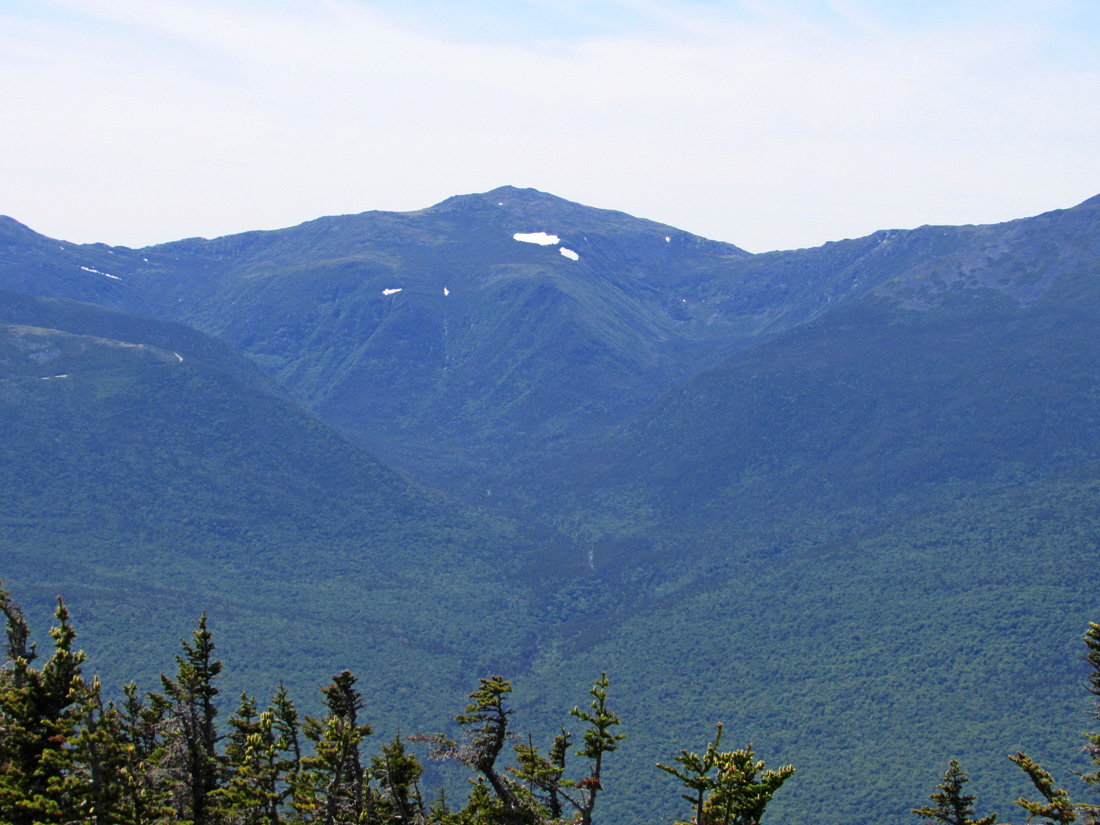
The open area was the best part of the hike. The views to Mt Washington and the Northern Presidentials were great, even with a little haze in the air. It was also a nice place to stop a while for a rest. The wind kept the blackflies at bay so they weren't always circling my head. I shared some Pringles with Patches and had a nice drink of Power Aid while leaning back and enjoying the sun, the breeze, and the views across PInkham Notch.
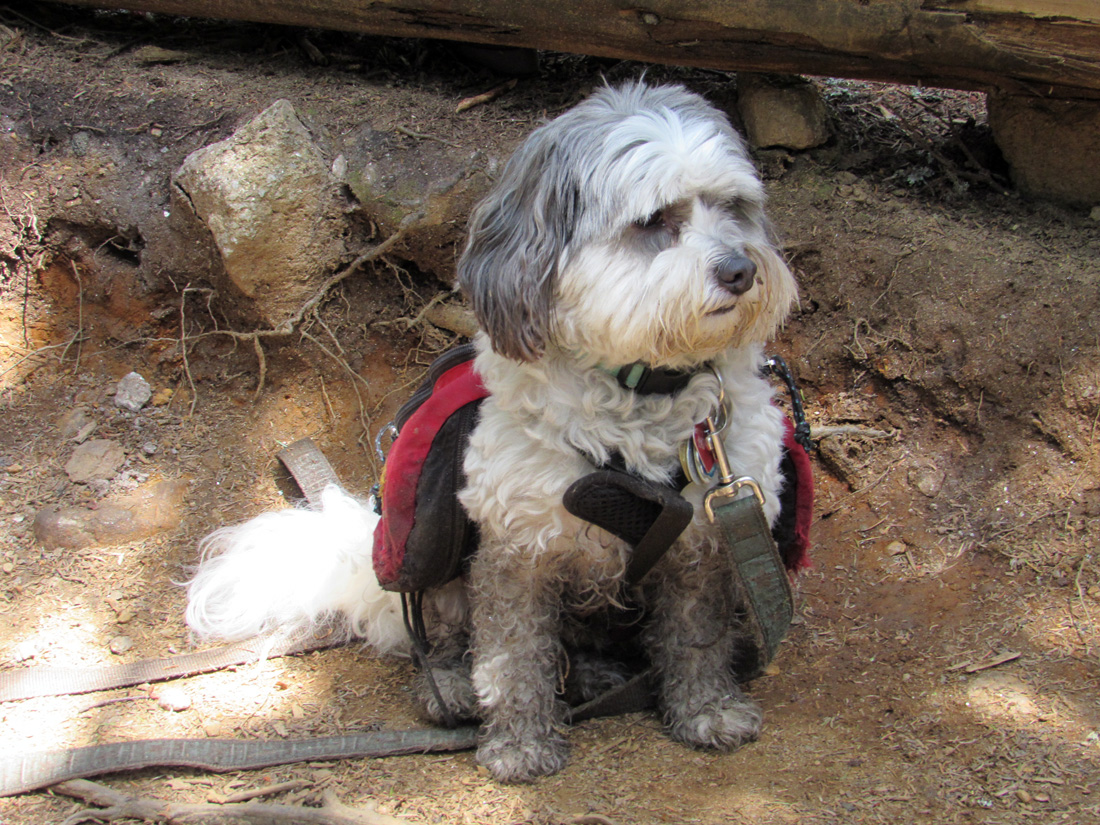
After spending 20 or 30 minutes in this pleasant spot, it was time to move on, and we soon reached Middle Carter, the last peak of the day. It was also wooded (and also missing its summit sign). We didn't spend much time there before heading down the trail toward the North Carter Trail. I was definitely ready to start heading downhill. It took longer than I had expected to complete this leg of our hike since there were several ledgy humps to traverse along the way, but we finally got to the trail junction.
The North Carter Trail was badly in need of maintenance. The upper portion looked like it hadn't been brushed in more than a year. The branches continually scratched at my bare arms as I pushed my way through the narrow corridor. Patches had an easier time of it being closer to the ground (and the tree trunks). The trail was also very wet with runoff flowing down it. The Imp Trail had numerous wet spots but had been brushed more recently so it was a much more pleasant walk. Instead of following the Imp Trail all the way down to its trailhead (which was quite a distance north of where our car was), I remembered that there was a short unmarked trail connecting the Imp Trail to Camp Dodge which was only a quick highway walk back to the car.
Somewhere along the Imp Trail, I managed to lose Patches' leash which I was carrying to keep it from continually snagging on roots and rocks. I didn't realize it was missing until it was too late to hike back uphill to look for it. When we got to Camp Dodge, I had intended to ask someone for the loan of a short rope, but the camp was closed and under construction, so no one was around. Luckily, I found a short piece of old rope laying around one of the former bunkhouses, so I borrowed it in order to keep Patches close to me and off of Rt 16. We were soon back at our car and on our way back home. This was Patches' 36th 4000-Footer. She now had only 12 left to go.
|
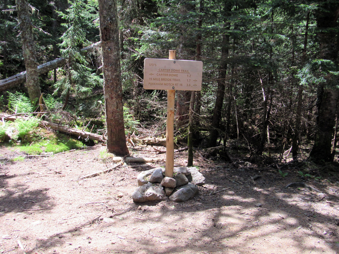
Carter Dome Trail/19-Mile Brook Trail junction. By the time we had reached this location, we had hiked almost 2 miles but had only gained 843 feet of elevaion. |
|