|
I
wanted to get in one last hike in the White Mountains before the end of
the year. It didn't have to be a 4000-footer, but I did want to try out a
new trail for at least part of the hike. I hadn't been to Lonesome Lake
Hut for 2 or 3 years, so I decided to head there via the Basin-Cascades
and Cascade Brook Trails, neither of which I had ever been on. From there,
if I felt like it, I thought I might climb up to the Northeast Cannonball.
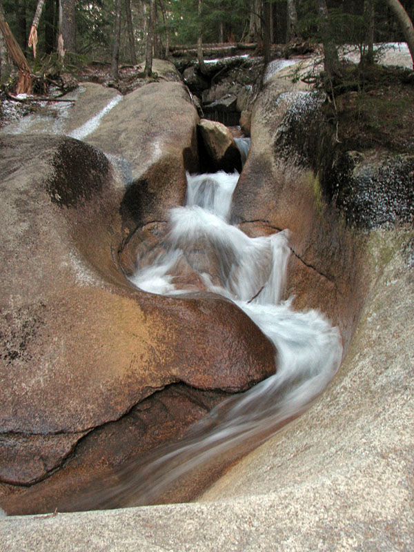
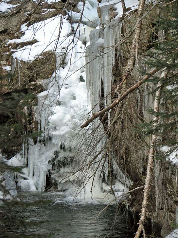
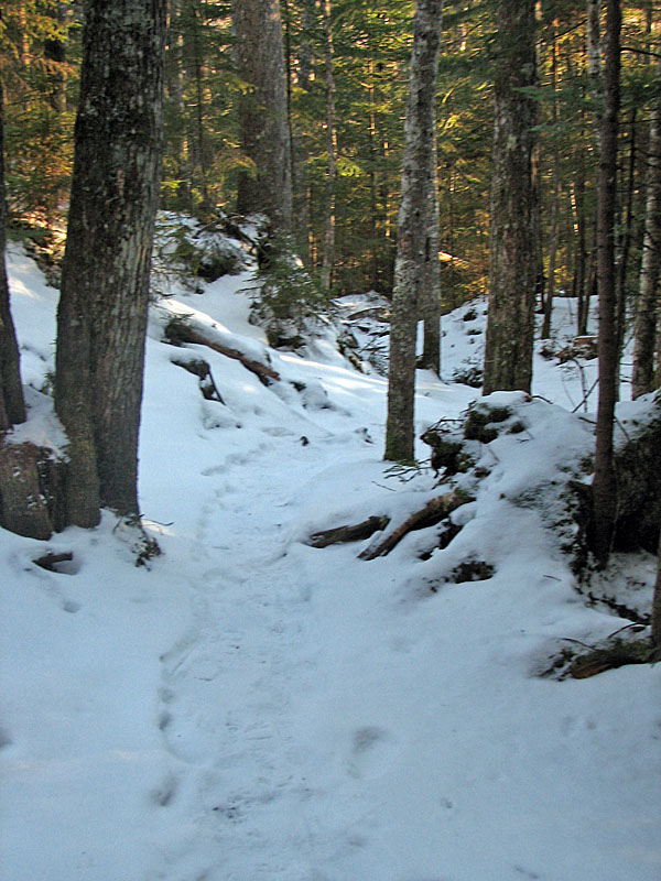
The Basin-Cascades Trail was nice, very
scenic, but the none of falls along the trail were quite as spectacular as
they might have been in the spring or early summer. Icicles hung in
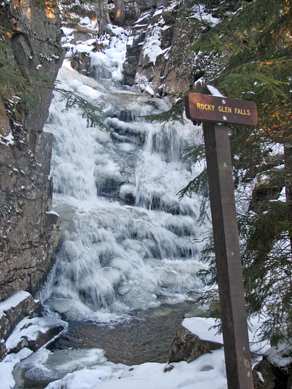
profusion from the rocks around Kinsman Falls, and at Rocky Glen Falls,
the water tumbled over an ice-encrusted rockway.
About halfway up to the Cascade Brook Trail,
the Basin-Cascades Trail crossed Cascade Brook over a number of extremely
slippery rocks. Although the brook wasn't high by springtime standards, it
was still a rather difficult crossing due to the ice. I managed to
carefully pick my way over to a large flattish boulder about a quarter of
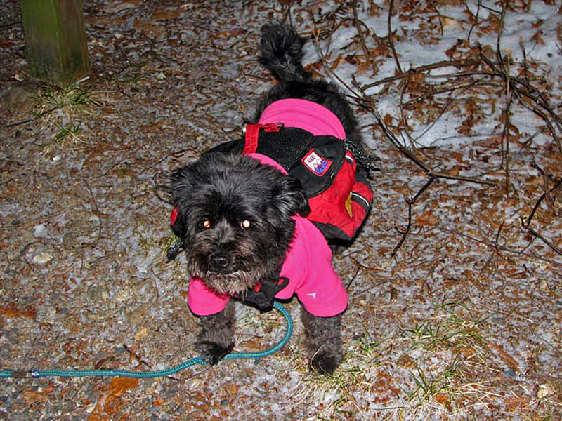
the way across, and was waiting for Muffin to follow me before continuing
on. She tried several different paths but seemed reluctant to commit to
any of them, so I retraced my route back to the bank, grabbed her leash
and guided her across to where I had been.
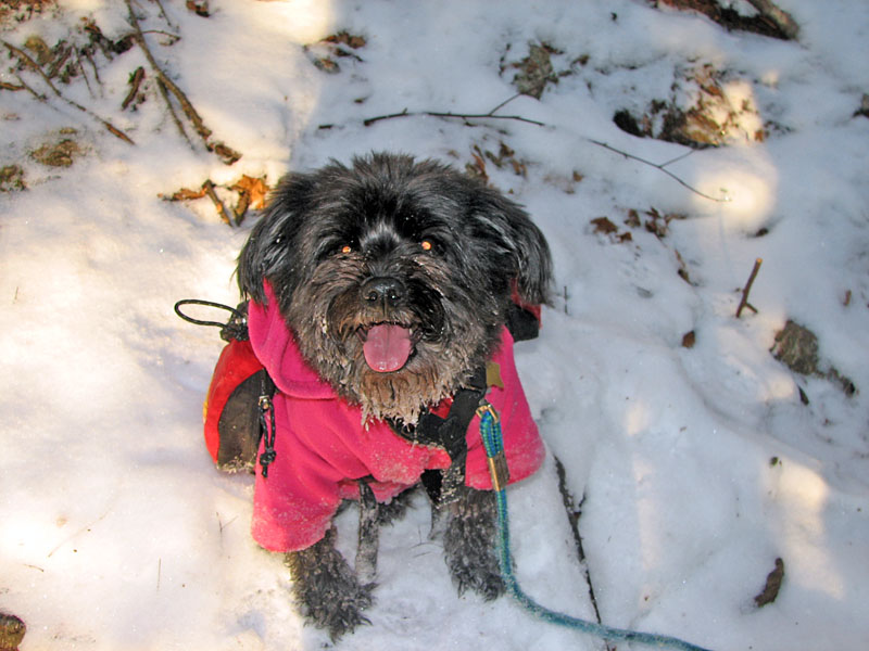
This time, however, my foot slipped and ended
up in the frigid water. Luckily, it wasn't over ankle height and the
Goretex in my boots kept my foot dry. The bad part was that, once both of
us made it back to the flattish rock, Muffin turned around and went all
the way back to shore again. When I called her to come back, she just
trotted off down the trail the way we came. Cursing, I leapt back over to
the rocks, wetting both boots this time, and took off after her. Finally,
a good 100 vertical feet lower, I caught up with her and grabbed her
leash. Back up the trail we plodded again, I at least huffing and puffing
from the recent wild chase. Returning to the crossing, I scouted around
and found a slightly better route, and we made it across without any more
incidents.
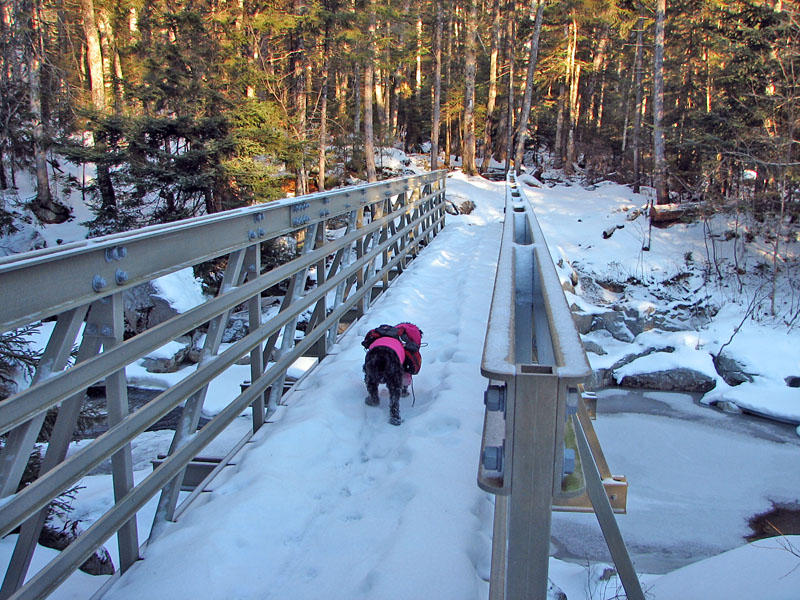
Finally on the other side, I breathed a sigh
of relief, and decided to put on my snowshoes, as the trail was becoming a
bit more slippery and I wasn't up to any more little misfortunes. Just
after passing Rocky Glen Falls, we met up with the Cascade Brook Trail and
re-crossed the brook on nice safe and stable bridge. |
Basin-Cascades
Trailhead at the Flume. I parked the car on the east side of the
notch, and we took the tunnel under the parkway. |
 |