|
The
day began cloudy with occasional sleet at around 30 degrees. The
sun came out off and on as the day wore on. The summit must have
been around 20 deg, since the top of Muffin’s water started to
freeze after only 15 minutes. At the bottom again, it had warmed
up to about 40 degrees. The trails were snow-covered, from around
an inch or two at the bottom, to close to a foot on the summit.
I
parked the car at the Greeley Ponds trailhead on the Kancamagus
Highway and we started up the trail around 8:00 AM. The
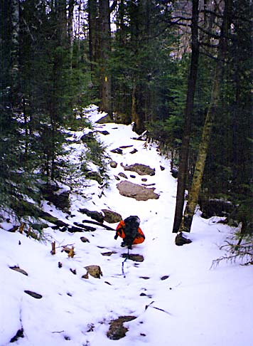
Greeley Ponds Trail was relatively flat, but rocky and root-covered
under the snow. There were lots of tracks. Someone had passed
by earlier, probably the day before. There were also rabbit tracks,
moose tracks, and some tracks that may have been a coyote or a
fox.
There
were a few small stream crossings on the trail, and many timber
puncheons on top of muddy spots. In one spot, I accidentally stepped
onto what I though was a solid patch of ice, but ended up sinking
up to my ankles in mud. After about 45 minutes, we reached the
Mt Osceola Trail junction and stopped for a snack. |
|
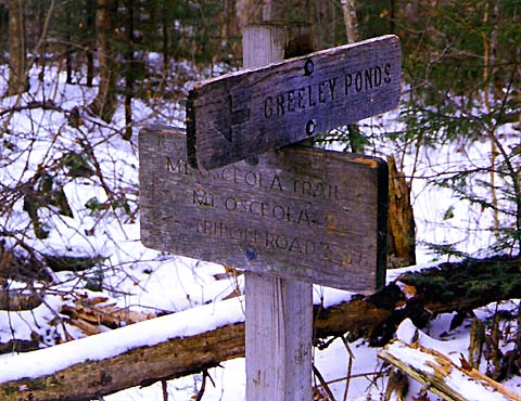
Mt
Osceola Trail Junction. From here, the Greeley Ponds Trail continues
on to the ponds and to Waterville Valley. The Mt Osceola Trail,
which we took, climbs steeply up to the Osceolas. |
|