|
We
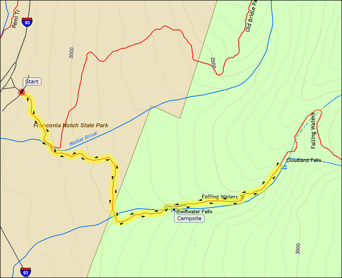
parked the car at the Falling Waters/Old Bridle Path
Trailhead at mid-morning. After stopping at the trailhead sign for a
picture, we started hiking up the trail.
Soon after leaving the parking lot, the trail splits. The Old Bridle Path
angles off to the left to ascend to Greenleaf Hut (as Erin, Holly, Muffin,
and I did about a week earlier), while the Falling Waters
Trail turns sharply right to cross Walker Brook over a footbridge.
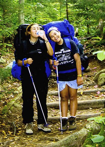
After
we crossed the bridge, the first part of the trail was relatively flat and
easy-going except for the burden of our heavy packs. Knowing that we weren't going
very far up the trail before looking for a campsite, we had not packed light. We brought two
tents - one for Erin and Holly (and Muffin), and the other for me and Toi.
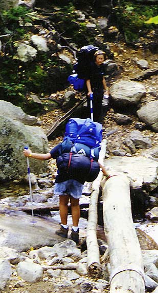
Before
long, we reached Dry Brook. After crossing the shallow stream on some
slippery rocks, we climbed up the steep embankment on the other side. The
trail then turned east to follow the course of Dry Brook uphill toward
Little Haystack Mountain, although we weren't planning on going that
far.
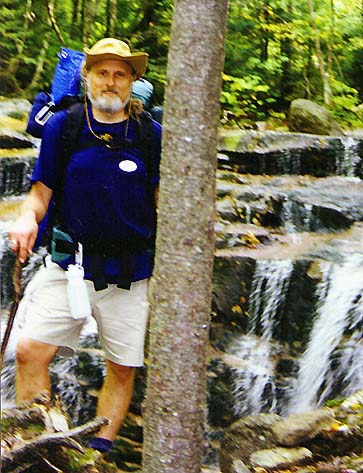
Along
the way, the Falling Waters Trail passes three sets of falls: Stairs
Falls, a series of gentle cascades; Swiftwater Falls, a medium-sized chute
that tumbles into a quiet pool; and Cloudland Falls, a 80-ft ribbon
plunging from a high ledge. We were planning on camping somewhere near
either Stairs or Swiftwater Falls, wherever we could find a relatively
level spot.
We
stopped for a rest at Stairs Falls, enjoying the scenery and the relaxing
sound of the bubbling waters. We also began scouting around for a likely
campsite.
|
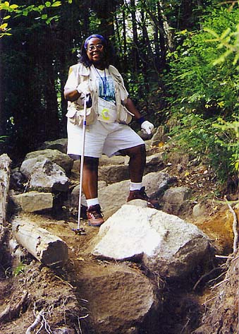
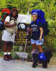
Toi,
Holly, and Muffin at the Falling Waters/Old Bridle Path Trailhead. Erin,
Holly, Muffin, and I were there just a week earlier to hike up to
Greenleaf Hut. |
|