|
|
|
|
|
Mt
Flume, Mt Liberty |
|
|
|||||||||||||
|
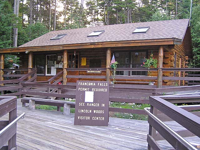
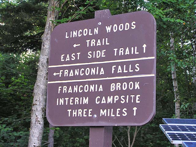
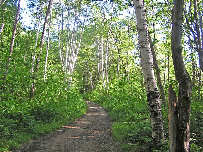
The weather was supposed to be good, and I decided to take Muffin on another day hike so she could get closer to finishing her 48 peaks. Since I had already climbed the Flume Slide Trail in 1999, I thought that it would be nice to approach the summits from a different direction. The Osseo Trail seemed like an interesting alternative. I was planning on coming down either the Liberty Spring Trail or, if we were making good time, the Falling Waters Trail. In either case, I was going to call The Shuttle Connection in Lincoln to get back to the car. After driving up early in the morning, I parked the car at White Mountain National Forest Lincoln Woods Visitor Center a few miles east of Lincoln on the Kancamagus Highway. This is where the Wilderness Trail begins. Several years ago, the Forest Service renamed the trail between the suspension bridge and the Pemigewassett Wilderness boundary as the Lincoln Woods Trail, but many hikers (and the White Mountain Guide) still call it the Wilderness Trail. We crossed the suspension bridge over the East Branch of the Pemigewassett River and turned right onto the trail. It's a pleasant walk on this old logging railroad, although you kind of have to time your steps to avoid many of the old railway ties. In the late winter or early spring, a small bridge over one of the tributaries feeding the East Branch washed out, there was a lot of erosion, and they closed the trail for a while. Now, there was hardly any evidence of the washout. They did a good job fixing it up. About
a mile-and-a-half from the trailhead, we arrived at the junction of the
Osseo Trail, which bears left, following a small brook. A short distance
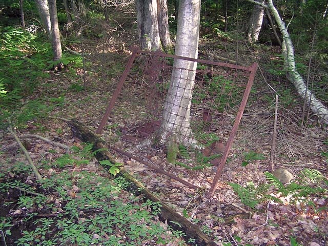
up the trail, we came across the remains of an old logging camp. Usually,
these logging camps are little more than overgrown clearings now, but this
one still had a few rusted artifacts, including an old bed frame and some
cans. |
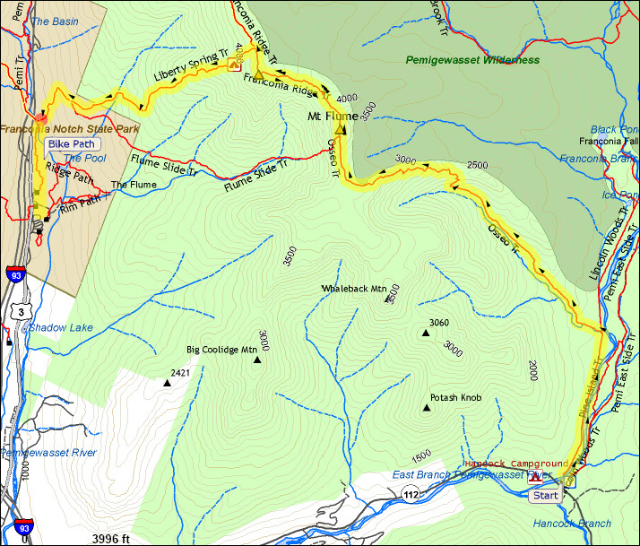
Lincoln Woods Visitor Center. This National Forest information center sits at the start of the Wilderness/Lincoln Woods Trailhead, one of the more heavily-traveled trail systems in the White Mountains. |
|
|
Trailhead. Several years ago, the Forest Service renamed the Wilderness Trail between the suspension bridge and the Pemigewassett Wilderness boundary the Lincoln Woods Trail, but many hikers still call it the Wilderness Trail. |
|
|
|
Muffin on the suspension bridge. The Lincoln Woods/Wilderness Trail turns right just across this bridge and follows the East Branch of the Pemigewassett River. |
|
|
|
Wilderness Trail. The trail follows an old logging railroad. Many of the railroads ties are still there. |
|
|
|
Relics of bygone days. A short distance up the Osseo Trail are the remains of an old logging camp. This one still has a few old rusted artifacts. |
|
|
|
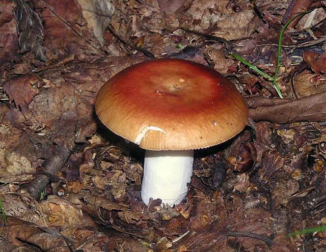
Mushroom along the Osseo Trail. There were quite a few mushrooms growing along the trail. I don't know what kind this is. |
|
|