| |
|
|
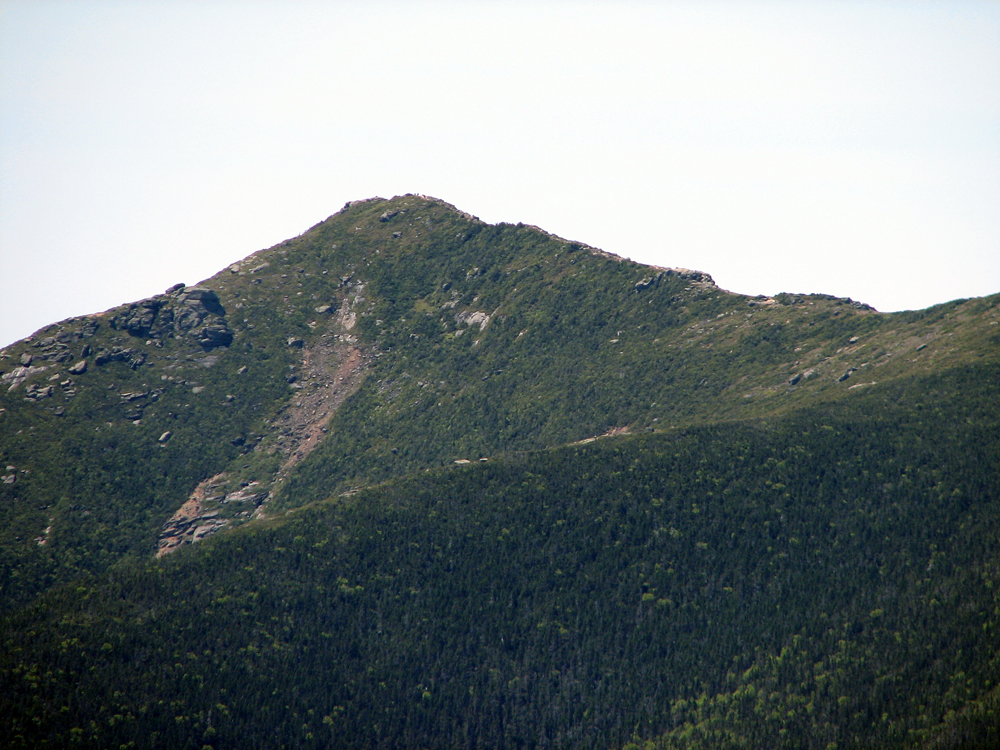
Mt Garfield |
|
|
|||||||||||||
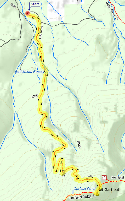
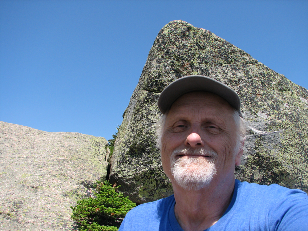
This was only the second hike of 2016 for Patches and me, and my first hike after being diagnosed with atrial fibrillation (a-fib) in May. I had known for some time that I would soon need surgery to repair or replace the mitral and aortic valves in my heart, but my energy level had been good, and even the severe regurgitation from my leaky mitral valve didn't seem to affect my ability to climb and hike. The only thing that tended to stop me were my sporadic and virtually unpredictable bouts of a-fib, which caused an intolerably uncomfortable fluttering in my chest. The episodes of a-fib were getting to be more frequent and seemed to be triggered by insignificant events, such as a full stomach, eating too fast, a change in position, or lifting something heavy. For a long time, neither I nor my cardiologist knew what they were other than palpitations, feelings of missed beats that I had hoped were merely premature contractions caused by too much caffeine or adrenaline, Then, in May, in an effort to figure out exactly what was going on, I ended up in the hospital when my doctor realized that it was actually a-fib. Not dangerous in itself, a-fib's main worry comes from its tendency to form clots in your atria, which can then travel to your brain and cause a stroke. The answer to that, however, was the drug coumadin (warfarin), which I was now taking to increase my clotting time (commonly referred to as thinning the blood), thus greatly reducing the chances of clots forming, but making me at a slight risk for bleeding. I also carried a beta blocker (metoprolol) with me that I could take as needed to help stop the a-fib. Anyway, I coudln't stay away from the mountains forever, so here we were in June, only a couple of days after the summer soltice, ready to bag another peak. If I were careful and didn't push too hard, we'd make it and I'd avoid a round of a-fib. The day was pleasant, the birds were singing, and summer was here. In a section where the trail made numerous switchbacks, we stopped for a short rest, a snack, and a drink of water. The switchbacks made the steeper upper segment of the trail much easier. We were doing well on time, and I was not straining myself. Finally, we reached the junction with the Garfield Ridge Trail. The summit was close now. There was only one last steep section up the ledges to conquer, and we were there. The good weather had held, and the view from Mt Garfield were magnificent in all directions. To the west was Franconia Ridge with the very tip of Cannon's summit showing above the trailing northern end of the ridge. To the east lay tiny Galehead Hut and the insignificant dome of Galehead Mtn below the towering presence of South Twin. To the south stood the western end of the vast Pemigewasset WIlderness, mostly flat lowland broken only by the isolated and lonely builk of Owl's Head Mtn. After a short snack and rest in the sunshine while admiring the views, I got up to hop over to another rocky prominence to get a different perspective down into the Wilderness. I thought nothing of it at the time until the effort of this sudden move after a rest triggered my a-fib. One minute I was fine and the next I was miserable. I took a couple of my metoprolol pills to help stop it, but they do not work instantaneously. I was restless and annoyed, and knew that it was time to head down. I quickly snapped a self-portrait, not taking the time to frame a decent background, and then we left. The feeling from the movement of hiking down partially distracted me from the awful quivering in my chest. I gritted my teeth and we continued on, me knowing that the a-fib would eventually stop, and hoping that this eventuality would come sooner rather than later. It continued for almost two hours, but had stopped by the time we reached the trailhead and our car, I breathed a sigh of relief, and we got into the car for the ride home, me being nervously careful not to trigger another attack. As it turned out, the unrelenting bouts of a-fib soured my desire for climbing in the mountains. We didn't return for the rest of the year, and in fact, on into June of 2017 when the snow finally melted and I felt that I had recovered enough from my September surgery to climb again. It was a long peakless 11-1/2 months. |
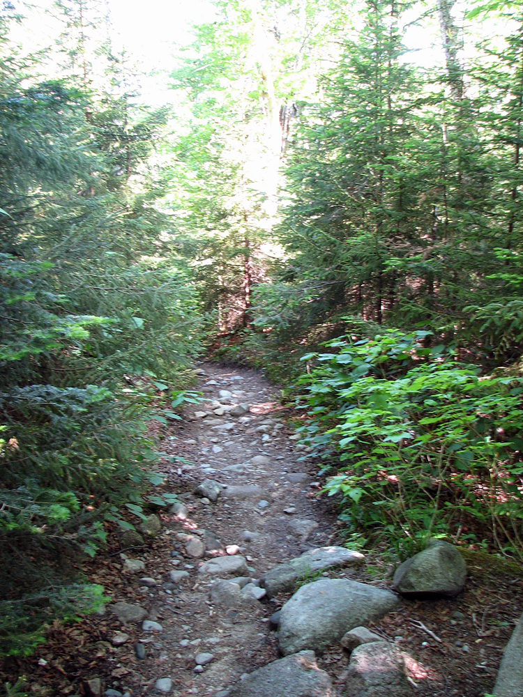
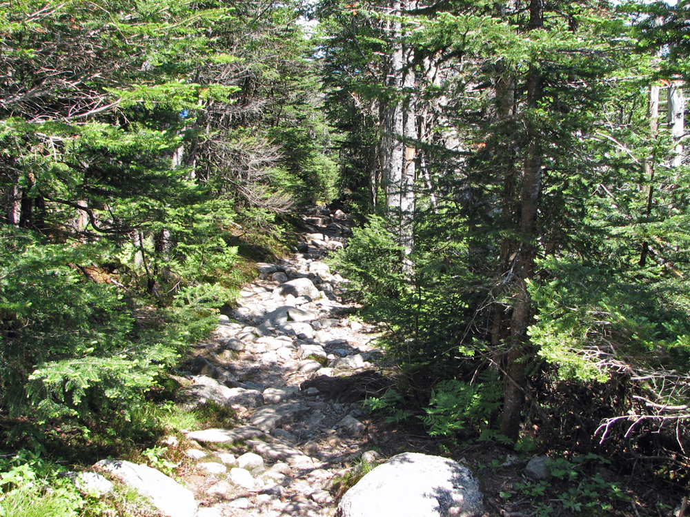
Garfield Trail. The trail is relatively gentle and has good footing most of the way. It switchbacks through the steeper parts up higher. |
|
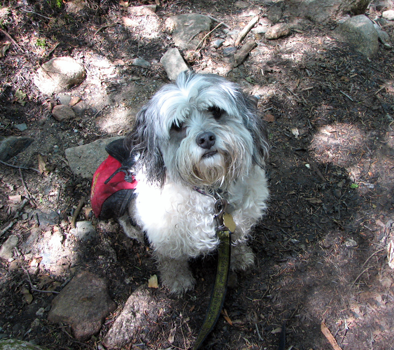
Patches along the lower portion of the Garfield Trail. She was definitely ready for a grooming. |
|
|
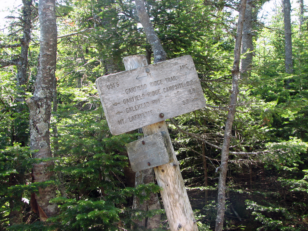
Garfield Ridge Trail intersection. From here, the summit is only a short distance up a steep rocky section. |
|
|
Look down the Garfield Trail. As you can see, the top of the Garfield Trail is fairly flat. |
|
|
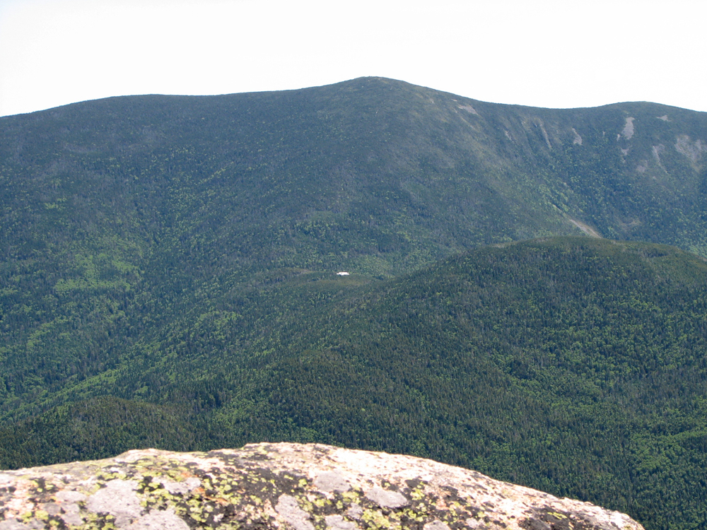
South Twin Mtn towers over tiny Galehead Hut. To the right of the hut is its namesake, Galehead Mtn. |
|
|
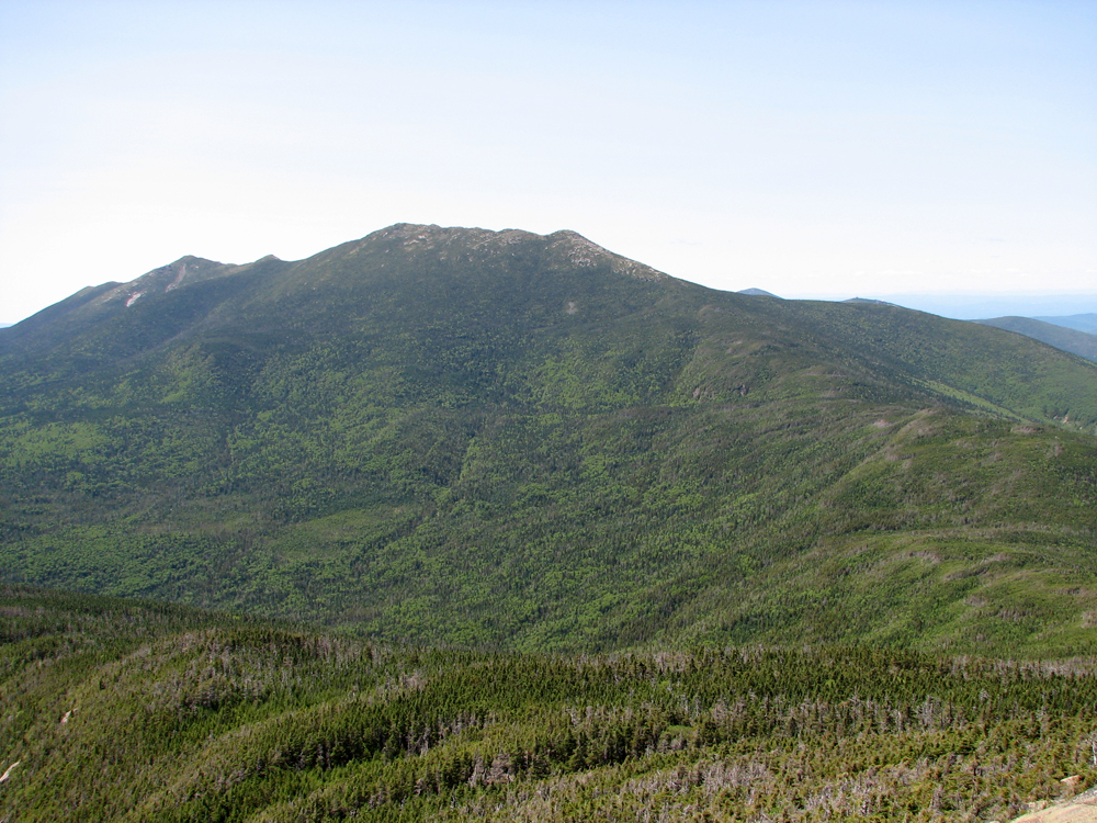
The northern end of Franconia Ridge from Mt Garfield. The prominent peak in the center of the picture is Mt Lafayette. To its left is Mt Lincoln. |
|
|
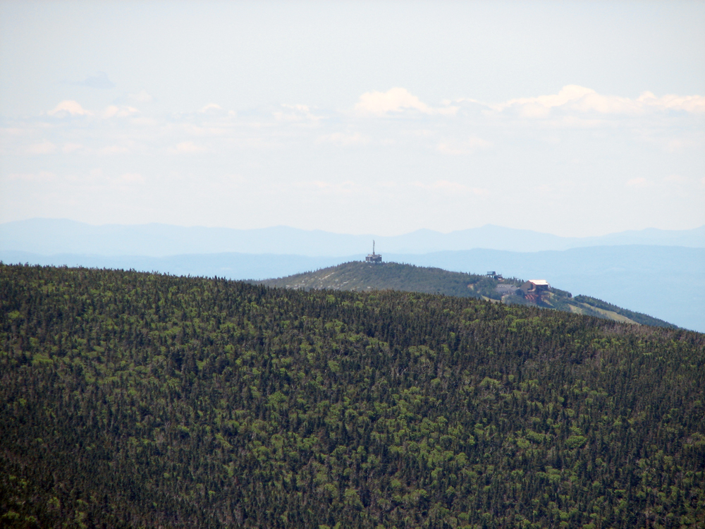
Closeup of the summit of Cannon Mtn over the trailing northern end of Franconia Ridge. |
|
|
Closeup of Mt Lincoln with the narrow Franconia Ridge Trail running over it from left to right. |
|
|
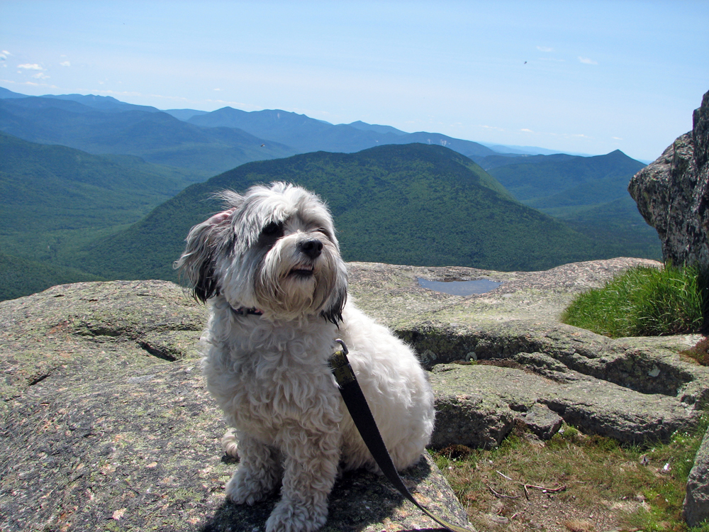
Patches on the summit of Mt Garfield. The smaller peak behind her is Owl's Head. |
|
|
Self-portrait on Mt Garfield. I should have chosen a better background for this picture but my atrial fibrillation had just started and I found it difficult to concentrate on framing the picture. |
|
|
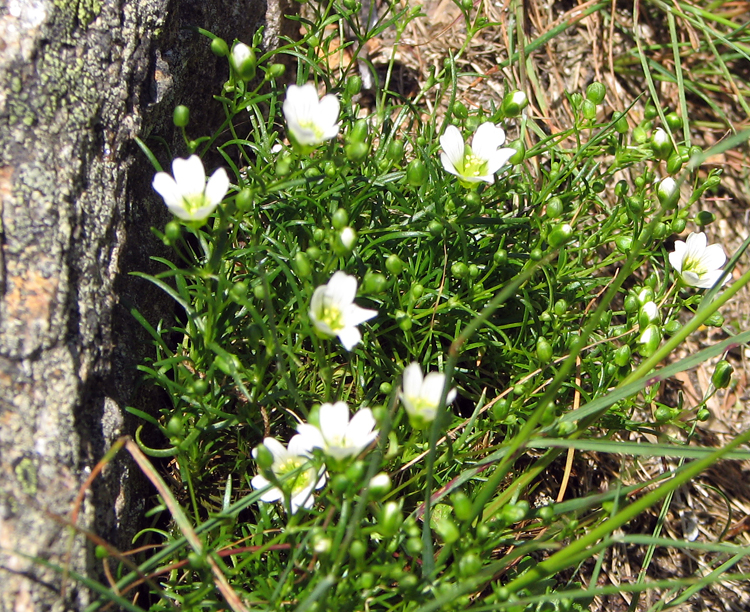
Mountain sandwort growing in the shelter of a boulder on the summit of Mt Garfield. |
|
|