|
|
|
|
|
Mt Hale |
|
|
|||||||||||||
|
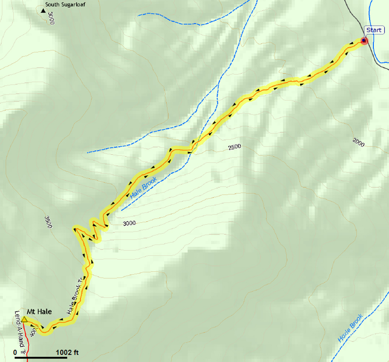
I decided to pick a relatively easy goal for the day, one that would be a quick hike where we could get home before supper. I had also never hiked Mt Hale without a lot of snow on the ground and I wanted to avoid the long hike up and back Zealand Road, which I figured was due to close any time now. This would be Patches' eighteenth four thousand footer. I parked at the empty Hale Brook Trailhead parking lot along Zealand Road. It was quiet, cool, and still with only a dusting of snow on the ground as we started up the trail. The lower half of the hike is fairly gentle. We stopped once so I could take a picture of the trail and another of Patches. She was glad to be out of the car and romping around in the woods, getting exercise and checking out new smells. And, of course, every couple of minutes, she needed to stop, turn around, and scan the trail behind us to make sure no one was sneaking up on us. Around the halfway point, where the trail makes an easy stepping-stone crossing of Hale Brook, we stopped to take a picture of the cascades and another of Patches getting ready to cross. Beyond this point, the trail turns left to more or less followi the brook on a sloping bank a hundred or so feet above it. This is the area that, when snow completely covers the trail, it takes not a few careful steps to avoid slipping off the path and sliding or tumbling down into the ravine. On this trip, the footing was good and it was almost hard to imagine any such difficulty. Beyond this section, the trail recrosses the brook over large boulders and begins switchbacking up the mountain. The grade eventually lessens and the trail curves gently upward the rest of the way up to the top, where we broke out of the shady woods and into the warm open sunlight of the summit clearing. After taking a couple of pictures of Patches standing on the large cairn, we stopped to rest and have something to eat. Patches ate all of the dog food she had carried in her backpack and, as usual, I had a power bar and some potato sticks. The sky was so blue and the sunlight so nice, that it was tempting to just lie there and rest (or take a nap) for an hour or two. But of course, I wanted to get home ahead of the rush hour traffic in Manchester, Nashua, and especially along I-495 in the Chelmsford, Massachusetts area, so I put away our trash and took a look around for a good spot to take some more pictures. I climbed up to the very top of the cairn to see if I could see Mt Washington but the trees had grown quite a bit since I had last been up here in April 2009 and I could see nothing at all over the treetops. So, instead, I settled for a picture of Patches and myself kneeling on the ground near the cairn. When I say "a" pictture, I really mean a "usesable" picture. I swear, this was one of the most difficult photos I have ever taken of the two of us, Most shots were a complete joke: either Patches was looking behind us, her head was below the bottom of the picture, the top of my head was cut off, I blnked, or the picture contained some combination of all of these problems. In the best of the lot, I'm looking at the camera and Patches is only slightly turned away. Not far below the summit, there was a spot where you could get a restricted view of Mt Washington and the Presidentials through the trees if you left the trail for the best angle and took a closeup shot to avoid most of the tree branches. As you can see, this is what I had to do. At the lower crossing of Hale Brook, I noticed that slightly downhill from the trail, there was an interesting spot where the brook raced through a shallow ravine against the backdrop of a sheer moss-covered granite wall. I took a couple of pictures in this pleasant retreat, and then we continued our descent back to the car. Sadly, after we drove away and were already miles from the trailhead, I noticed that I must have left Patches' nice Life is Good leash on the ground by where we had parked. It was green with the little Life is Good dog holding a marshmallow on a stick over a campfire. It had also been Muffin's leash for a few years until she died in 2013. |
|
|
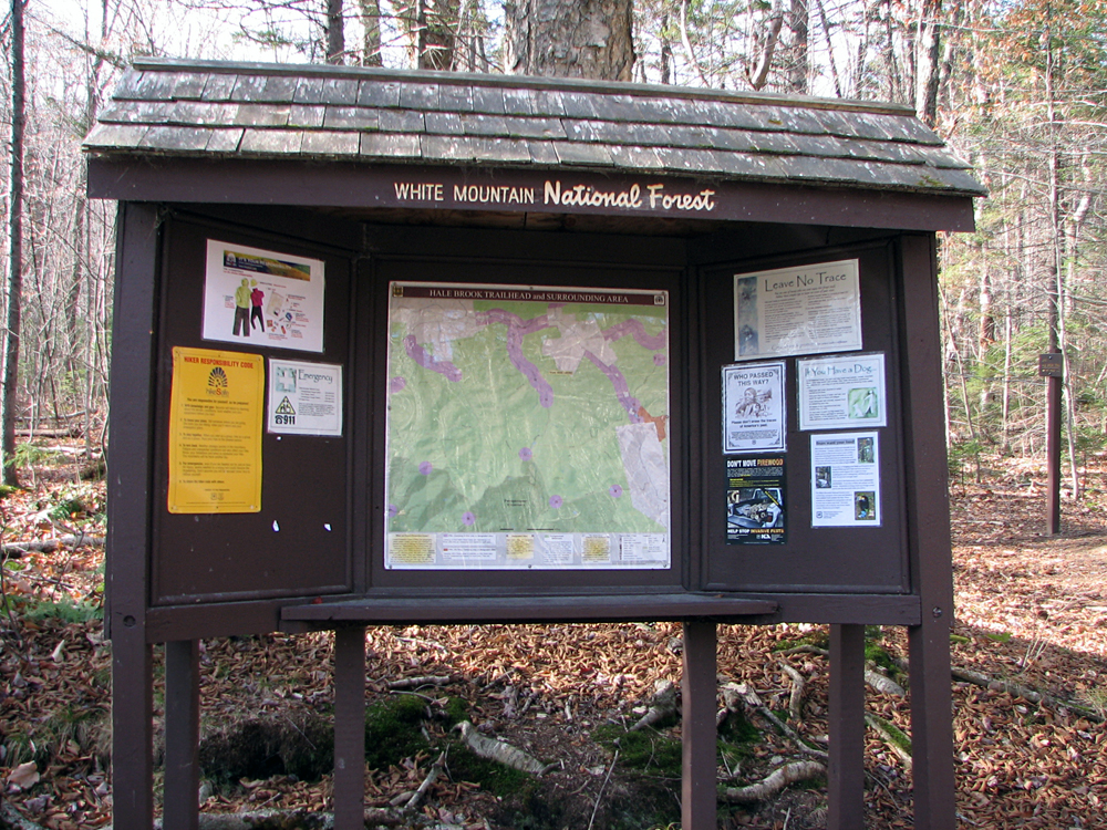
Hale Brook Trailhead. When we arrived, we were the only car in the parking lot. |
|
|
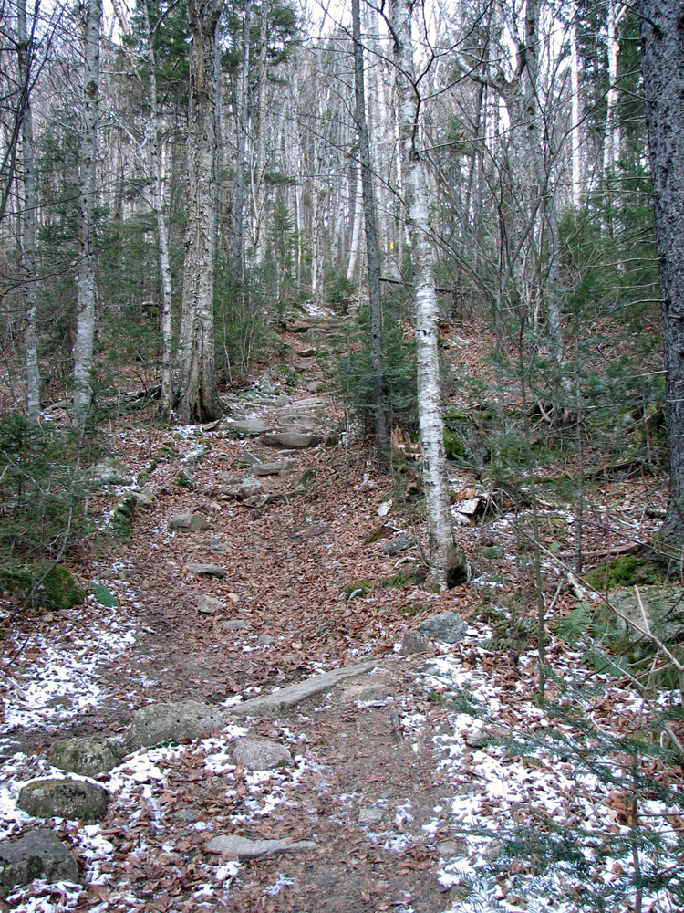
Hale Brook Trail, just beyond a brook crossing near the start of the trail. |
|
|
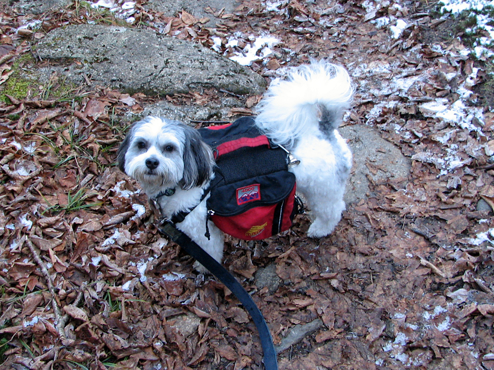
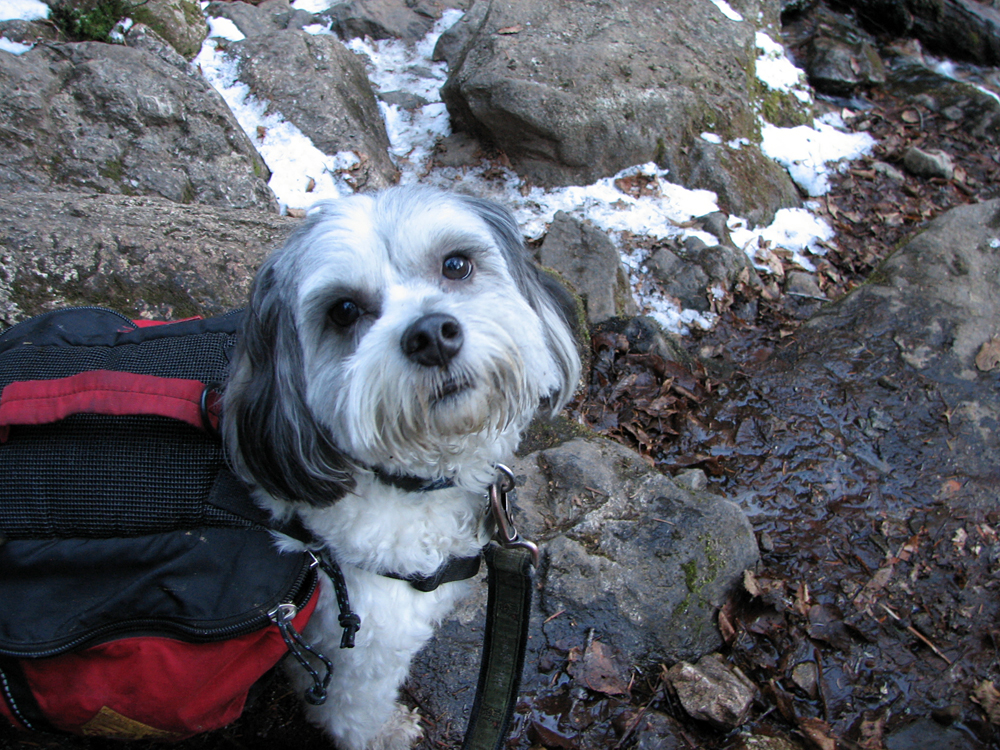
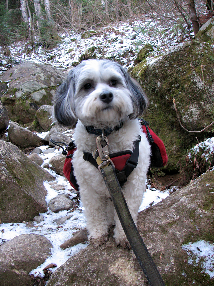
Patches on the lower part of the Hale Brook Trail. Since it was cold out and there wasn't any mud, Patches managed to stay pretty clean all day. |
|
|
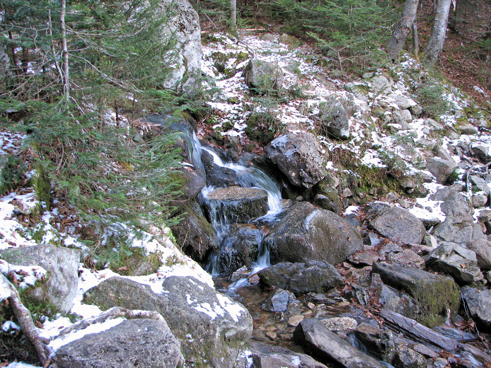
Cascades at the crossing of Hale Brook at around 2400 feet. |
|
|
Patches crossing Hale Brook. She's probably thinking, "why are we stopping? Let's get going!" |
|
|
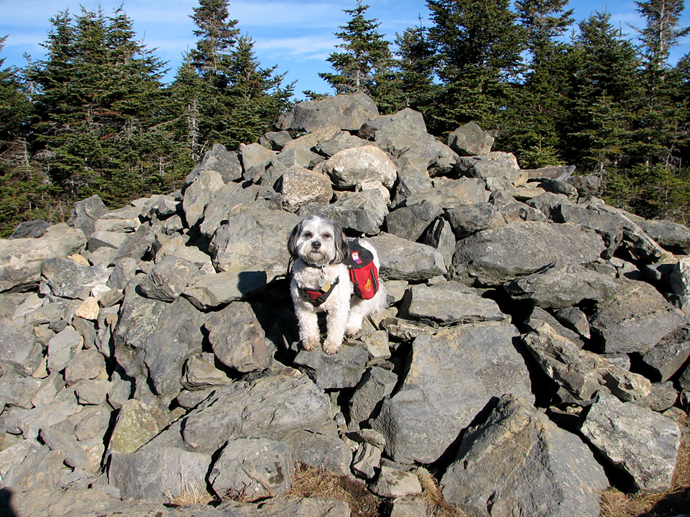
Patches standing on the Mt Hale summit cairn. |
|
|
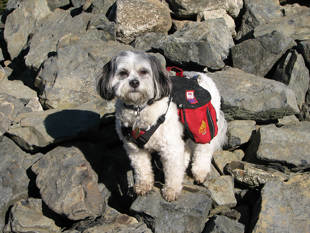
Closeup of Patches on the summit cairn. She's good at keeping her balance on the loose rocks. |
|
|
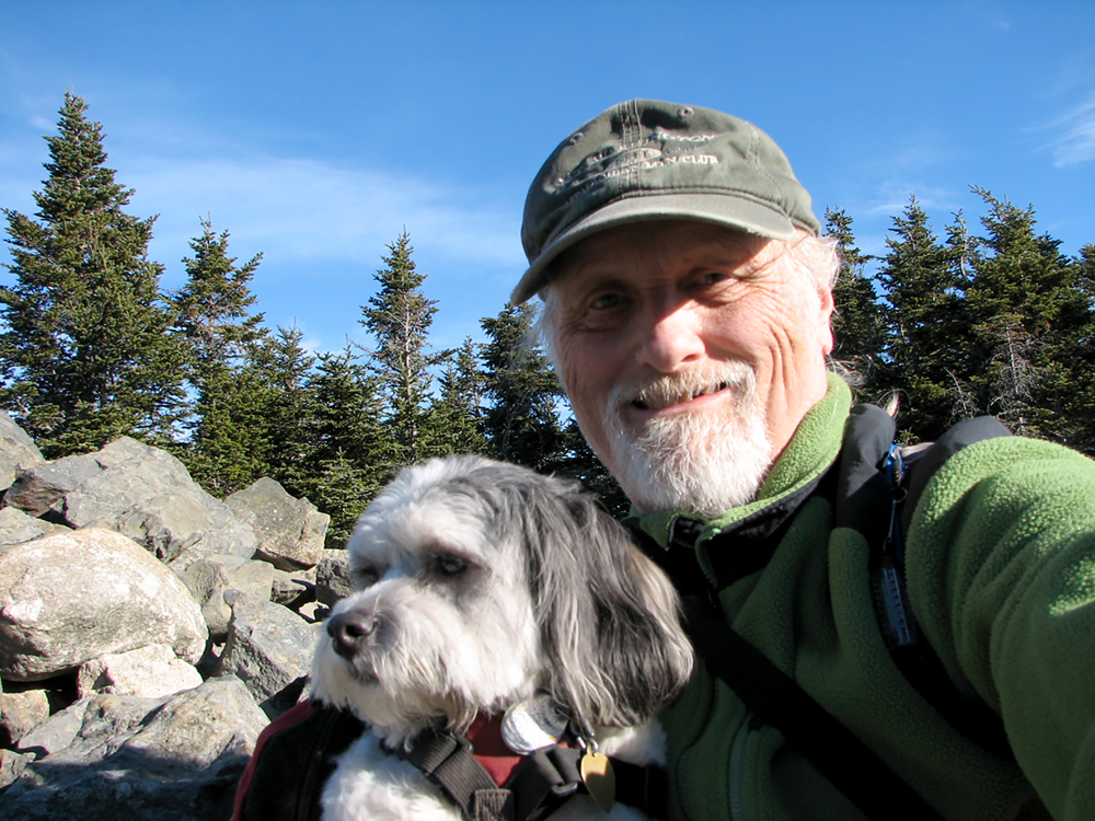
Self-portrait of Patches and me on Mt Hale. I took about seven or eight pictures just to get this one where at least you can see her face. |
|
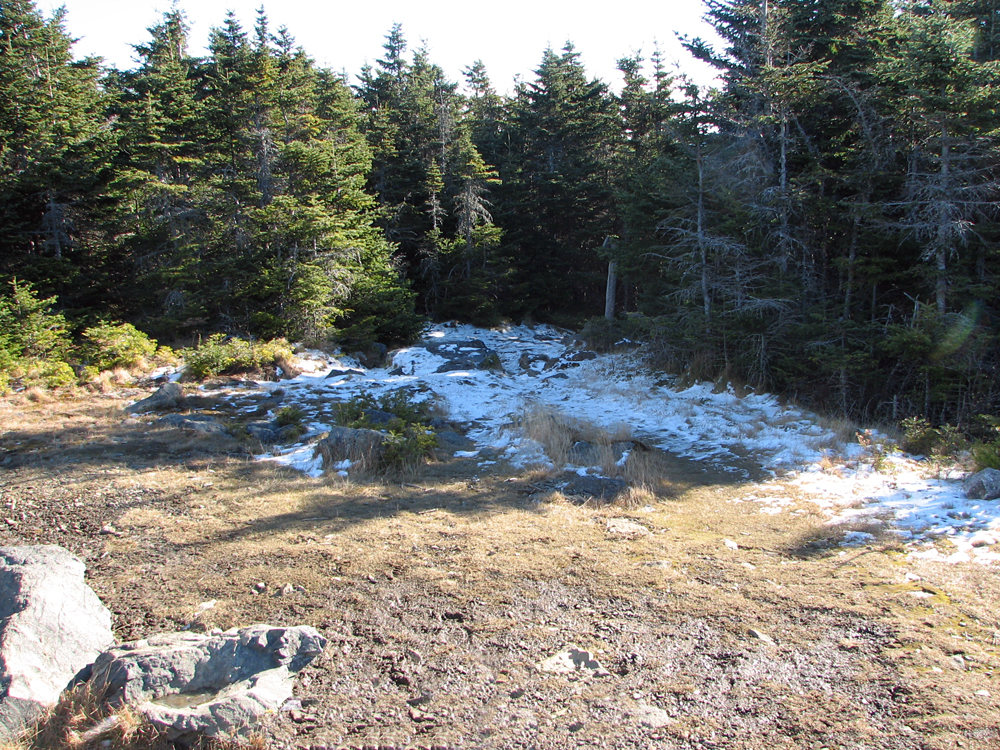
East view from the top of the summit cairn. Last time I was here, you could actually see Mt Washington over the tops of the trees. |
|
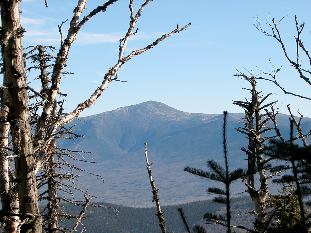
Mt Washington from the Hale Brook Trail on our way down the mountain. |
|
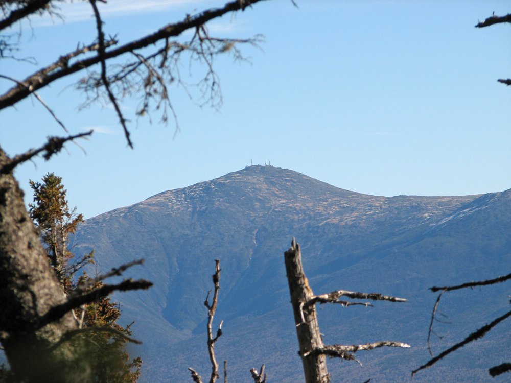
Closeup of Mt Washington from the same location. |
|
Patches looking down the trail on our way back to the car. |
|
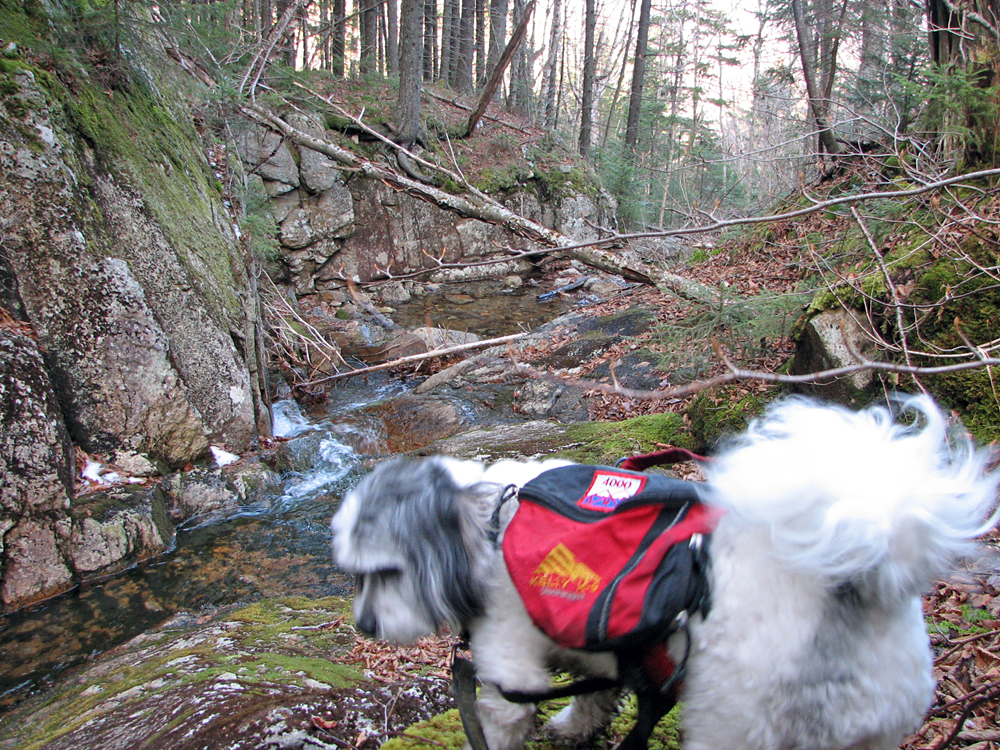
Patches checking out a small ravine about halfway down the mountain. |
|
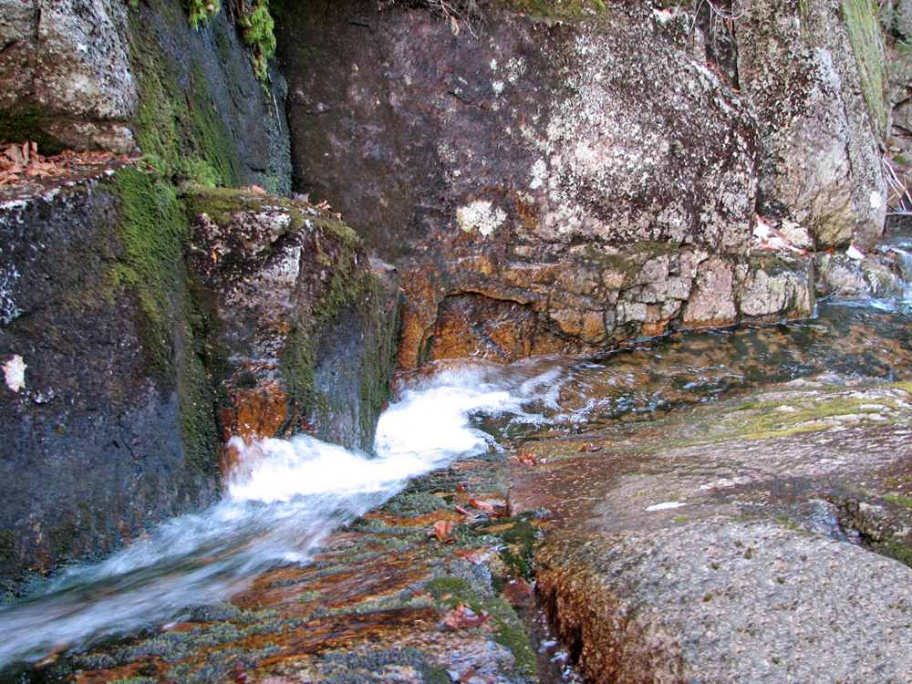
Closeup of the water rushing down the narrow ravine. |
|
|