|
I
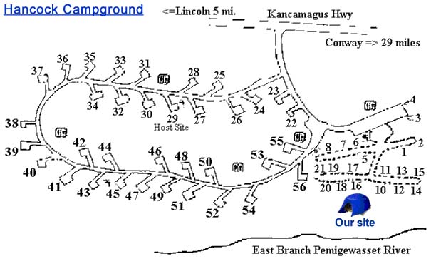
picked up Holly after school on Friday, and we drove up to the White
Mountain National Forest (WMNF) Hancock Campground on the Kancamagus Highway
just east of Loon
Mountain Ski Resort. This is the same place we camped at last year when we
climbed Bald Mtn. We
quickly found a nice site, and began setting up camp.
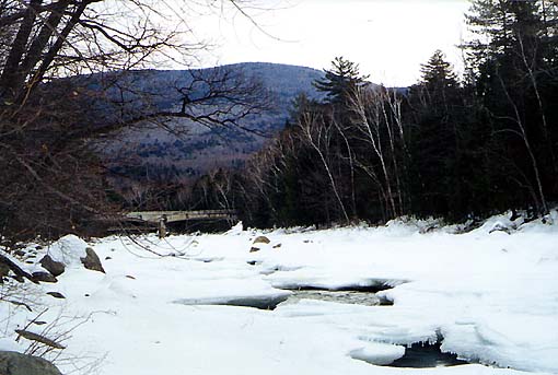
We
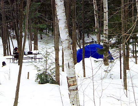
usually stayed along the loop portion of the campground which has drive-in
sites, but this time we decided to stay in the walk-in sites closer to the
East Branch of the Pemigewasset River. Besides having a nicer view and
more room, the walk-in sites were further away from other campers and were
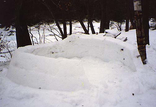
quieter. Someone had begun to make a nice igloo in our site, but had only
gotten the walls up about three feet. The
snowpack was extremely hard and crusty with a slight dusting of new snow
on top. It was also very slippery, so we had to be careful walking down
the hill from the car to the campsite. The river was partially frozen with
a narrow stream of water flowing near the middle. Just upstream, we could
see the Kancamagus Highway bridge and the suspension bridge at the
beginning of the Wilderness Trail (Lincoln Woods Trail) behind it. The
Forest Service renamed the portion of the Wilderness Trail up to the
Pemigewasset Wilderness border as the Lincoln Woods Trail, but many
hikers, including myself, refer to the whole thing as the Wilderness
Trail.
After setting up camp, we drove to town to call home and get some
supplies, then returned to make supper in the vestibule of the
tent. We both had "Instant Lunch" soups, some crackers, and
power bars for dessert.
|
Our
campsite. The snowpack was hard and crusty, and a bit slippery, so we had
to be careful walking down the trail that led to our site. |
|
|
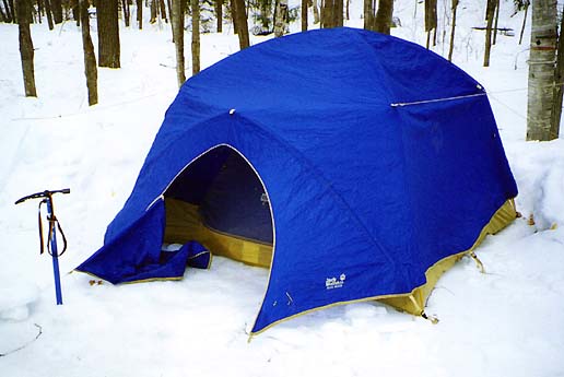
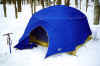
Our
tent, a 4-person Jack Wolfskin mountaineering tent that I got on
sale at Campmor in 1999. As usual, my side of the tent sloped slightly toward the middle, so I ended up sliding away from the edge
during the night. |
|