|
Not
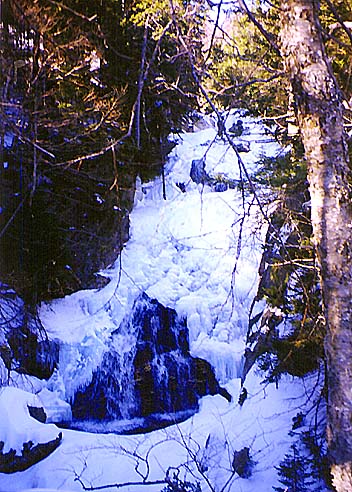
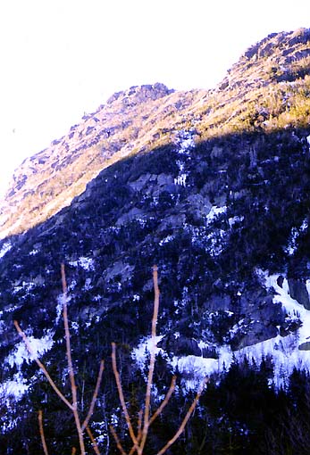
long after passing the avalanche warning sign, we came to Crystal Cascade,
a waterfall on the Cutler River. It was mostly frozen, but with water flowing under the ice. I'm sure
that it would be even more impressive in the spring or summer.
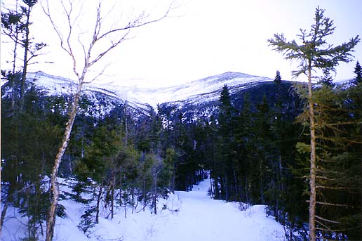
The
trail turned left and began to ascend more steeply beyond the falls,
switchbacking up the side of the mountain. We saw quite a few other hikers, both
going up and later on the way down. Some were carrying skis. Other carried
crampons and ice tools, and were probably heading up Mt
Washington.
We
saw at least two groups coming down on sleds, one of whom was going way too
fast. We were afraid that he was going to run into other hikers. There
were several good views back down toward Pinkham Notch and the Wildcat and
Carter Ranges on the other side of the notch.
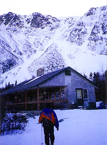
Finally,
we arrived at the Hermit Lake Shelters. An open lean-to shelter was
unoccupied but another enclosed shelter seemed to have a few campers. A little
further up, we came to the ranger’s cabin, which is known as HoJo’s.
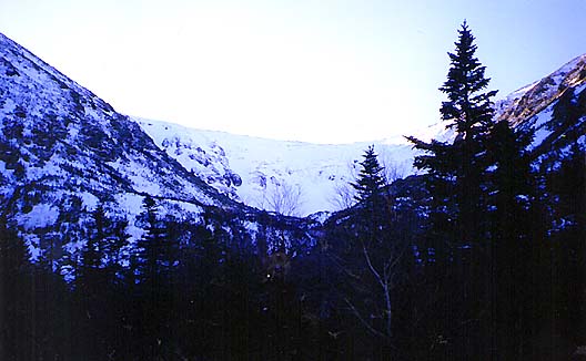
There were great views of the ravine in back of the cabin. Some
people were skiing in the Bowl, but not many, as the more popular spring skiing
season hadn't begun yet.
Unlike
the AMC huts, there were no dining or sleeping facilities in HoJo's, just
the ranger's quarters and a counter where you could buy a few supplies. We
bought some patches and
warmed up by the counter for a few minutes before heading back down.
On
the way down, we saw more views out toward the Wildcats, and saw a couple more
people sledding down. It was starting to get dark by the time we reached
the Pinkham Notch Visitor’s Center.
|
Crystal
Cascade. Despite being mostly frozen, these falls on the Cutler River were quite pretty.
|

|