| |
|
|
South Hancock, North Hancock |
|
|
|||||||||||||
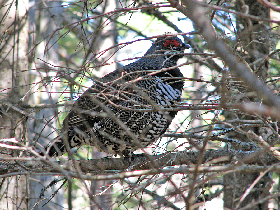
For my second trip of the year to the White Mountains, I chose the Hancocks, primarily because I had only climbed them once before (and even that was ten years ago in 2002). I was also looking forward to doing them without snow on the ground; the ridge between North and South Hancock had been particularly difficult hiking with lots of postholing since I didn't have any snowshoes at the time. The Trailhead is located just off the hairpin turn of the Kancamagus Highway; the parking area, which is shared by sightseers driving along the highway, has great views of the Osceolas. From the lot, a short path leads downhill where you have to cross the road to get to the actual start of the trail. The Hancock Notch Trail follows the bed of an old logging railroad for quite a long way, so the trail was wide and smooth, and the hiking was fast and easy, much like the Wilderness Trail but without the railroad ties. At the brook crossing just before reaching the Cedar Brook Trail junction, I stopped to take a picture of North Hancock which was directly upstream. From that angle, it doesn't look like much of a climb. Beyond the trail junction, the Hancock Notch Trail is much less traveled; most hikers are here for the Hancocks, and only because these mountains are on the Four Thousand Footer list. So, after turning off onto the Cedar Brook Trail, I first crossed a small brook, climbed a bank, and then reached another brook crossing with a small but pretty cascade. After a couple more brook crossings, I soon reached the junction with the Hancock Loop Trail. On my last hike here, I had climbed the peaks in a clockwise direction; this time, I decided to reverse my direction and climb South Hancock first. The trail up to South Hancock is steep and rough, but not quite as rough as the North Loop. It seemed especially easy this time because of the lack of snow and ice; before, I had had to put on crampons to keep from sliding downhill out of control. It only took me about 45 minutes to climb from the Loop junction to the summit of South Hancock, which, in contrast, didn't seem bad at all. The views from South Hancock are rather restricted, but I managed to get a decent shot of North Hancock, plus a self-portrait with the southeastern section of the Pemigewassett Wilderness behind and below me. As expected, the hike across the ridge link was a breeze without deep snow on the ground. I found it to be quite pleasant. The highlight of my walk was seeing a spruce grouse up close. Like a startled pheasant, it burst noisily up into the air, but then settled in a convenient tree branch where I was able to take a nice clear closeup picture. The true summit of North Hanock is wooded, but the views from the outlook down a short side path are much better than those from South Hancock. South Hancock itself was prominently in sight, as well as the Osceolas and the rest of the Sandwich Range, from the Tripyramids east to Mt Passaconaway. I wasn't completely prepared for the hike down the North Loop, which was much rougher than I had remembered. In this case, the snow on my previous hike had evened out the rough spots in the trail; all of them were completely exposed now, and there were many small rocks and gravelly areas that were quite as unstable as if I had been descending a slide. Never-the-less, I made it down without incident, and the rest of the hike back to my car went quickly. |
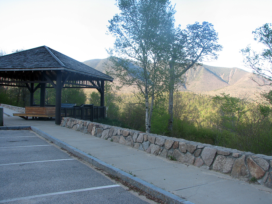
Osceolas from the Trailhead oarking lot. The Hancock Notch Trail begins at the parking lot at the hairpin turn on the Kancamagus Highway. |
|
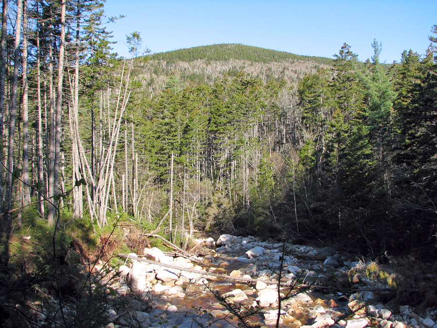
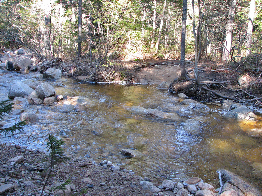
| North Hancock from the brook crossing on the Hancock Notch Trail just before its junction with the Cedar Brook Trail. |
|
|
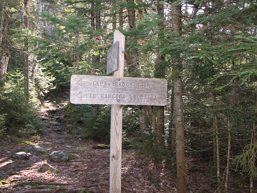
| The junction of the Hancock Notch and Cedar Brook Trails. Beyond this point, the Hancock Notch Trail is much less traveled. |
|
|
| Crossing of the North Fork of the Hancock Branch on the Cedar Brook Trail. |
|
|
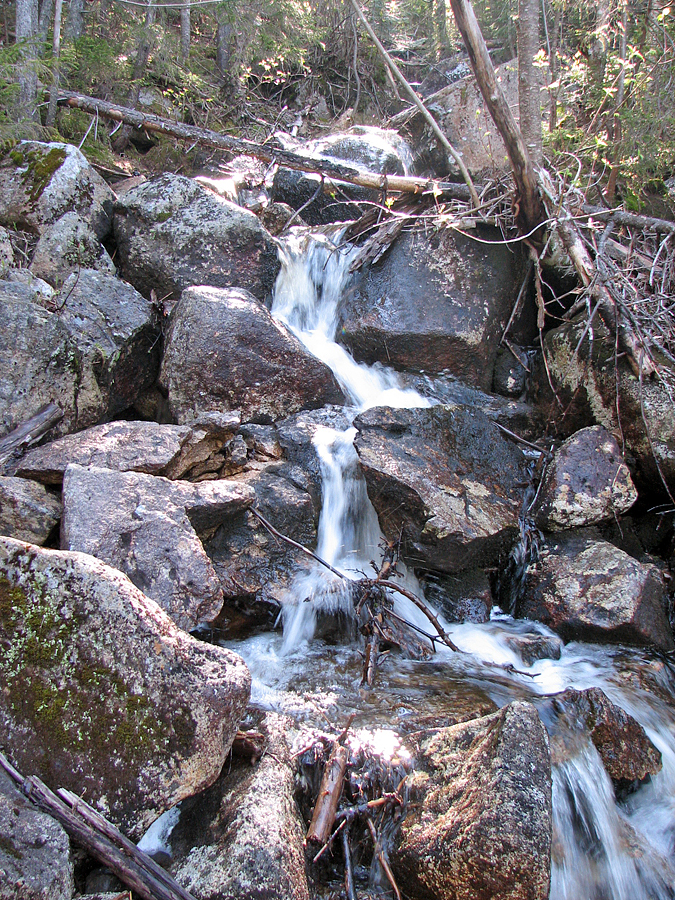
| Small cascade. Just beyond the brook crossing in the previous photo, another small brook drops down into the North Fork. |
|
|
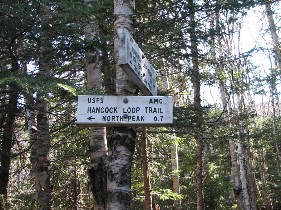
| Hancock Loop Trail junction. I chose to do the loop counterclockwise since I had climbed it clockwise the last time. |
|
|
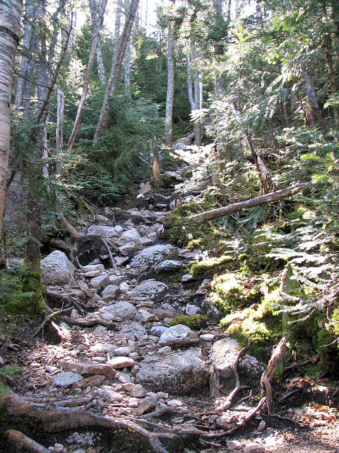
| The trail as it climbs the steep face of South Hancock. The trail is rough here, but not as rough as the North Loop. |
|
|
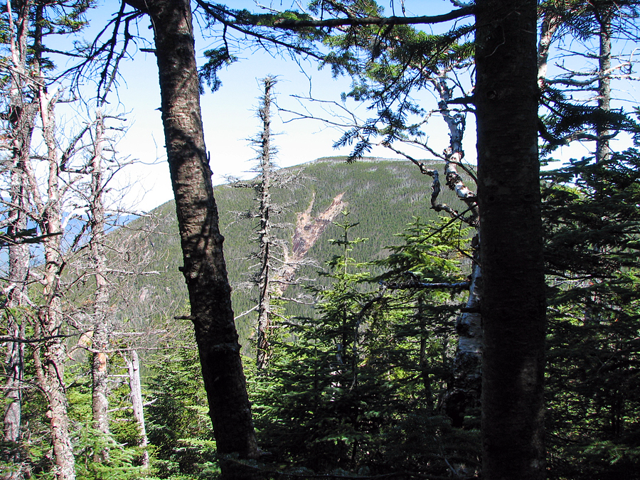
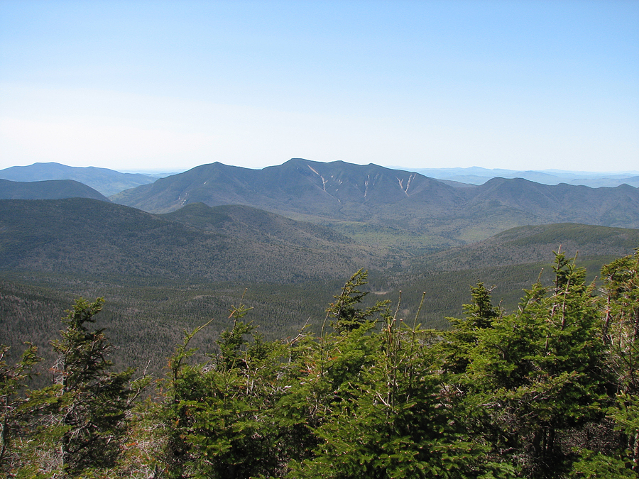
| North Hancock from the summit of South Hancock. There aren't many good views to the north or west from South Hancock. |
|
|
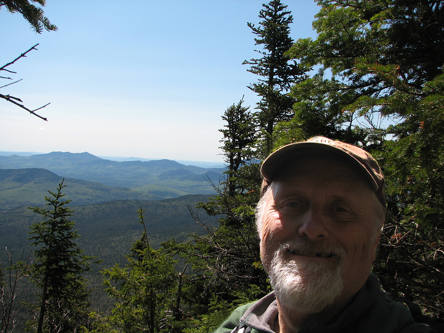
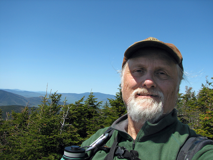
| Self-Portrait on the summit of South Hancock. The view beyond me looks over the southeastern part of the Pemigewassett Wilderness. |
|
|
| Spruce grouse along the ridge between South and North Hancock. |
|
|
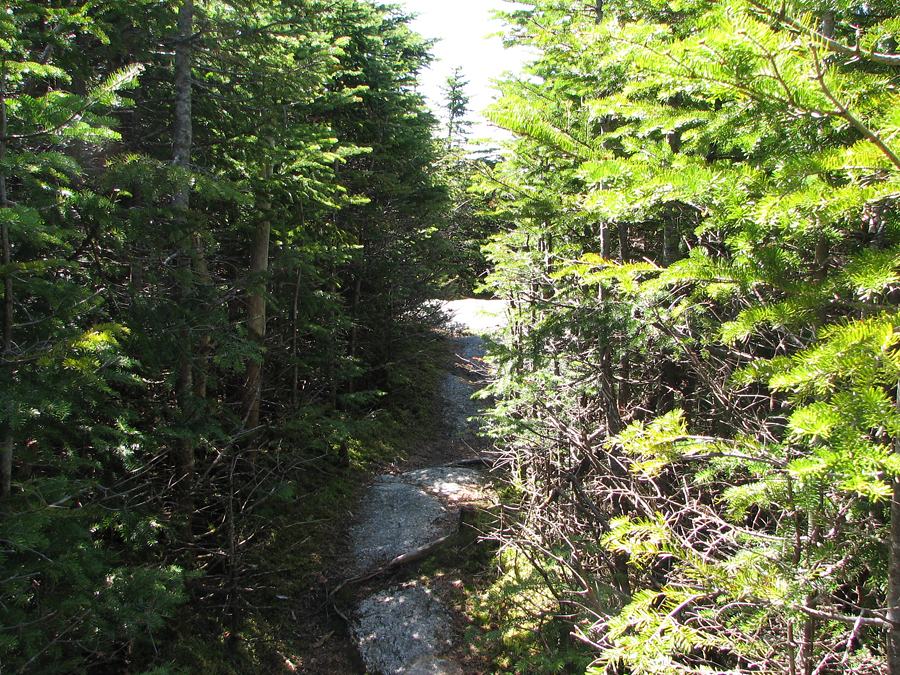
| The final approach to North Hancock. The trail runs nearly level as it winds its way up to approach the summit from the north. |
|
|
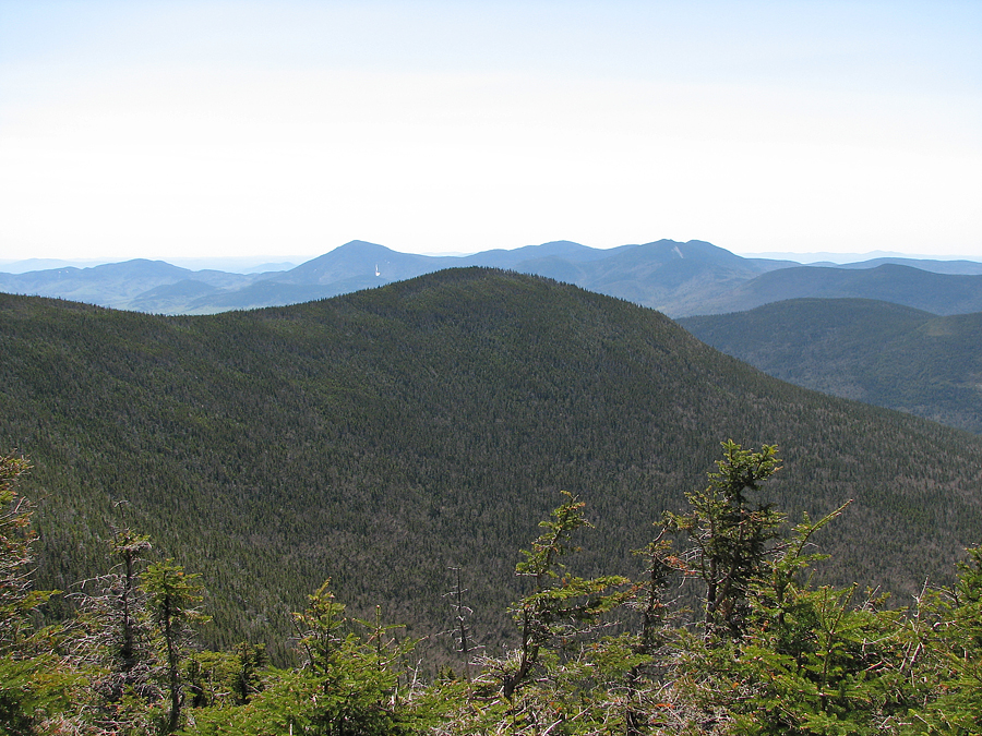
| Osceolas from the outlook on North Hancock. Mt Osceola is the peak near the center of the photo and East Osceola is to its left on the other side of the col. |
|
|
| Self-portrait at the North Hancock outlook. The true summit is wooded with no views, but the outlook has good views toward south and west. |
|
|
| South Hancock from the North Hancock outlook..The Sandwich Range is in the distance. The peak just to the left of South Hancock is Mt Passaconaway. |
|
|
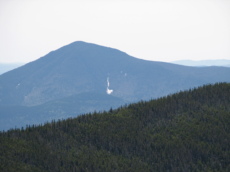
| Closeup of Mt Passaconaway from the North Hancock outlook. |
|
|