|
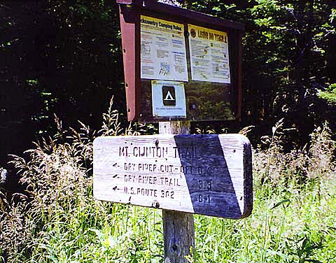
The Mt
Clinton Trail connects Mizpah Spring Hut with the southern part of the
Dry River valley. This was not our intended destination; however, only a
half mile from the hut, it arrives at a junction with the Dry River
Cutoff, which takes a more northerly direction toward the Dry River. While
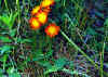
walking over to the start of the trail, I stopped to take a picture of
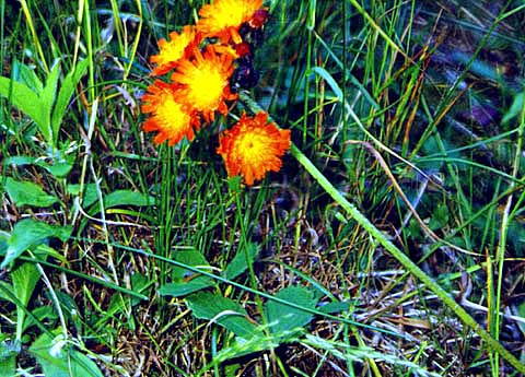
some orange hawkweed that was growing in the clearing around the hut.
The
Mt Clinton Trail descended moderately; it didn't take us long to reach the
Dry River Cutoff. But once on this trail, our forward progress slowed as
the trail was not well-traveled. Parts of it were boggy and in
particularly poor condition. A number of timber puncheons were rotting and
useless, making it impossible to avoid the muddy patches that they were
intended to traverse. There were also a few downed trees that had not been
cut away, and numerous short sections where the undergrowth threatened to
obliterate the treadway.
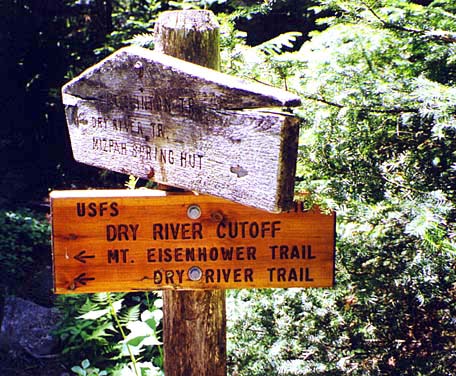
Eventually,
we came to the end of the trail at its junction with the Mt Eisenhower
Trail. I knew that the Dry River was close now, so I quickened my pace in anticipation of being able to drop my pack, which
seemed to be growing heavier by the minute in the muggy heat of the
afternoon.
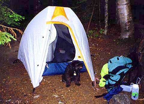
We
soon came to the river. The trail crossed to the other side over stones,
but on this side, a small sign pointed to the right to a legal designated wilderness
campsite. I followed the short path to the campsite where there was a stone fire ring and a level cleared area for a
tent. Happily, I unhitched my pack's hip belt and sternum strap and set it
on the ground next to a small boulder. With the weight of the pack
suddenly gone, I felt like I was floating in outer space.
After
setting up the tent, Muffin and I crawled in to rest. I calculated the
time it would take to hike round trip to Mt Isolation, and figured we'd get
back at least an hour after dark. Being unfamiliar with the Isolation
Trail, I decided that we would not be summiting today. I started fretting about the "Crawford Path Curse", fearing that the morning, if it
were not too stormy, might find me too tired or too sick to make it to the
summit and back again. Thus would the curse continue. Eventually
though, the gurgling sound
of the river flowing over the rocks was hypnotic and my "rest"
turned into a two-hour nap.
Afterward,
we took a short walk around the area, crossing the river over stones and
following the Mt Eisenhower Trail up the bank to its junction with the Dry
River Trail. We hiked a couple of tenths of a mile downstream to find the
Isolation Trail, then retraced our steps and continued a short distance
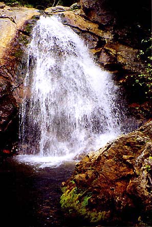
upstream to Dry River Falls. The spur trail down to the falls was narrow,
steep, and rough, and we had to be careful to keep from slipping down into
the swirling pool at the foot of the falls. |
Orange
hawkweed. These plants were growing in the clearing outside of Mizpah SpringsHut. |
 |