|
Soon,
the trail became steeper and I reached the beginning of the rocky
outcrops called the Caps. The trail wound up, around, through,
and down openings through the rocks. I found the climbing interesting,
but since the fog ruined the views down to the valley, it wasn’t
quite the same. I was also starting to get cold from the temperature
combined with the dampness.
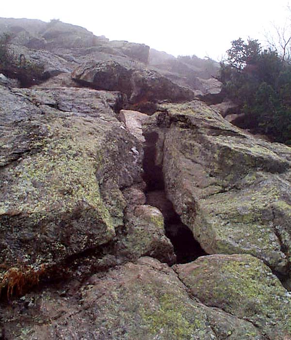
Just
before the first Cap, there was a steep climb up a relatively
smooth ledge with few handholds. Although it isn’t obvious in
this picture, this section is more like a rock climb than a hike.
By
the time I reached the first cap, I was getting cold from the
icy fog. I had made the mistake of not bringing any extra layering
as I had expected the temperature to be a bit warmer and the weather
to be clearer. Also, the higher I went, the windier it was getting
and I was afraid that being damp and cold might make me hypothermic.
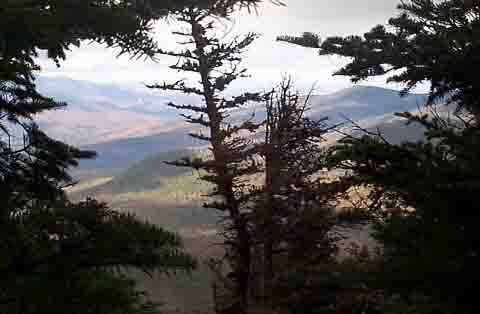
I decided to turn around, and started climbing down the trail
again. About 300 feet of elevation lower, the sun finally decided
to come out. For a while, it went in and out of the fog. I took
this picture down toward Jefferson Notch while the sun was out.
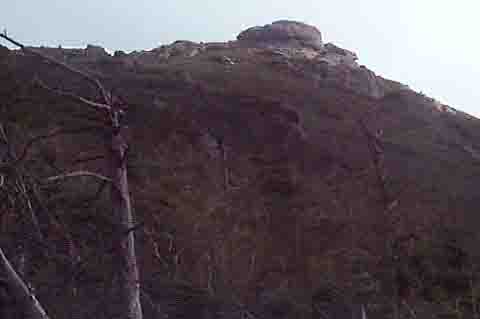
After
sitting in an open sunny area overlooking
Mt Washington, the Southern Presidentials, and a view up to
the lower Cap, I dried off and decided to give it another try.
I
began retracing my steps upward. In a short time, the rocks had
gotten a little drier, so the climbing was a bit easier, and best
of all, I wasn’t cold anymore. The wind hadn’t let up though.
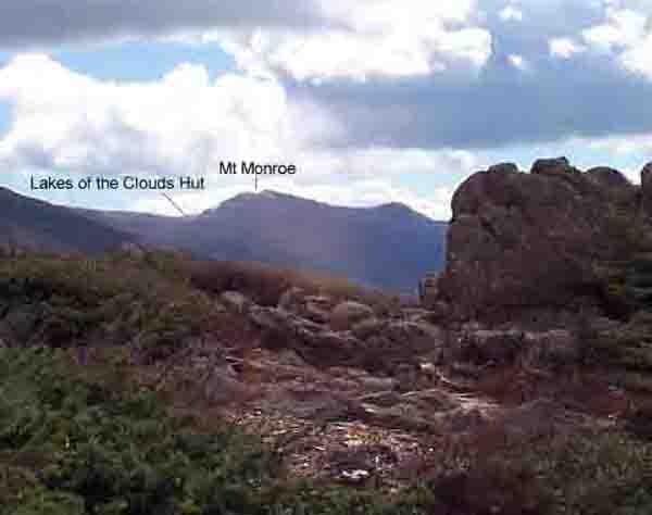
After reaching an outcrop about halfway between the first and
second Caps, I could see a view of
Mt Monroe and Lakes of the Clouds Hut. |
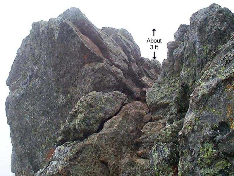
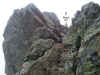
The
beginning of the rocky outcrops that form the Caps. The trail
passes through the gap in the center of this picture. Many of
the trails in rocky areas and above treeline are no more than
blazed routes through the rocks. |
|