|
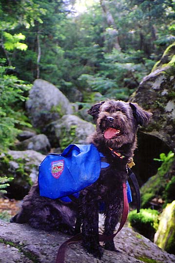
While
my wife Toi and daughter Holly went on a Girl Scout trip to England
during the first week in July, I was planning on taking a longer-than-usual
5-day backpacking trip through the White Mountains with our dog
Muffin, starting from Appalachia and ending in Franconia Notch,
then taking the
AMC shuttle back to the car. Of course,
it didn't quite work out that way, but it was a good trip none-the-less,
with near-perfect weather (mostly sunny, but a little hot).
After
dropping Toi and Holly off at Logan airport in Boston at 4 AM
for an early flight, I headed north, reaching the Appalachia Trailhead
around 7:30. We soon started happily up the Airline Trail, following
it to the Shortline Trail, where we turned off to go toward King
Ravine. I'd never been up King Ravine before and was looking forward
to seeing it, but I figured that I'd avoid both the Subway and
the Ice Caves Loop because of Muffin. Both of these trails are
alternate routes that wind through passageways underneath the
massive boulders, and involve a lot of crawling.
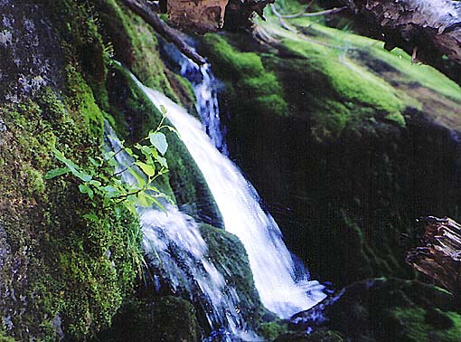
Just
before reaching the King Ravine Trail, we stopped briefly to photograph
Mossy Falls, an aptly-named cascade just off the trail, and to
have a quick drink and snack.
We
made good time all the way to the lower floor of King Ravine,
which began innocently enough with a few small boulders, then
quickly grew larger as we hiked on. I had known that there would
be quite a bit of rock-hopping, but I definitely under-estimated
the difficulty that Muffin would have climbing up and around the
giant stones. At times, I had to pick her up and carry her to
the next rock. |
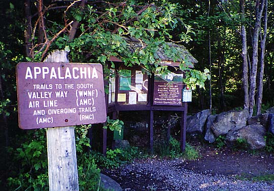
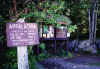
Appalachia
Trailhead. A number of trails either start from this spot or diverge
from one of its trails. |
|