|
All good things must come to an end,
and eventually, it was time to move on. After shouldering my
pack, I headed down the Franconia Ridge Trail toward Mts Lincoln
and Little Haystack. The trail at first descends steeply down
the Lafayette summit cone, but then levels off and most of the
ridgeline is a series of minor to moderate ups and downs,
although there are a couple of spots with easy scrambles.
On its way to Mt Lincoln, the trail
ascends a minor hump in the ridge that some people apparently
refer to as Mt Truman, although the
Mt Washington Observatory web site states that "this name is
far from official," and I hadn't heard it myself until just
recently.
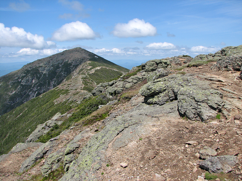
When you're just hiking along the
ridge, the summit of Mt Lincoln doesn't appear to particularly
stand out. It's definitely noticeable from down in the notch and
from other points further away, but when you're up there, it
doesn't seem to be any more prominent than some of the other
humps along the ridge.
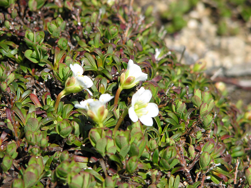
Coming down Mt Lincoln
toward Little Haystack, I saw someone who appeared to be
cataloging or marking patches of alpine flowers. The AMC has its
Adopt-a-Peak and
Alpine Flower Watch programs, so it could have been some
volunteer working on one of those.
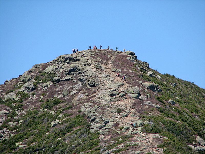
After reaching Little Haystack, I
turned to look back up at Mt Lincoln, and could just barely make
out some little specks on top that I figured were people. To
verify that, I took a closeup shot of the summit. Even through
the tiny viewfinder, I could clearly see a crowd of hikers
lingering on the summit. By that time in the day, Mt Lafayette
also probably had a large congregation of hikers on top.
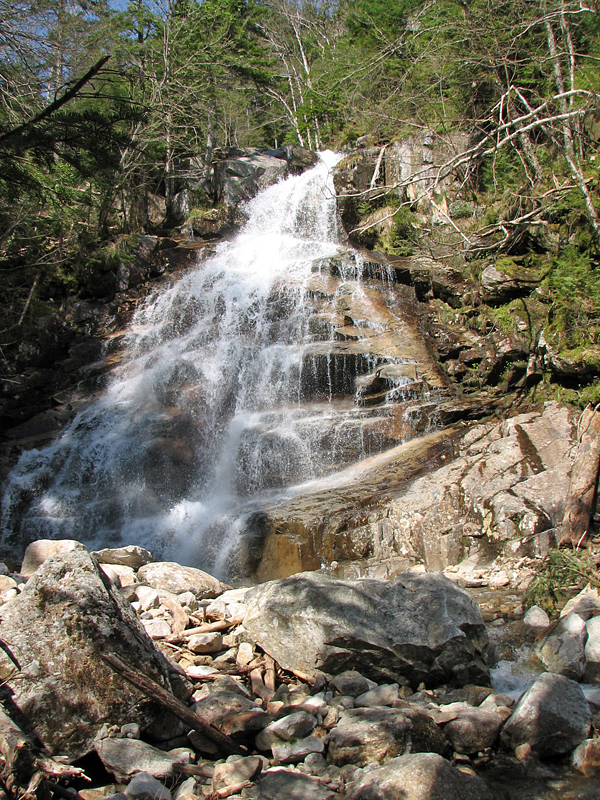
My trip down the Falling Waters
Trail was pretty much uneventful until I reached the area where
the trail intersects Dry Brook just above Cloudland Falls.
Recent heavy rains had done considerable damage. I barely
recognized the route of the trail, and in spots, there was heavy
erosion. The brook had probably risen at least a couple of feet
higher during the deluge, taking debris with it and washing away
traces of the path.
The water level at the brook
crossing beneath Swiftwater Falls was a bit higher than usual,
but not a real problem. Then, after making the last crossing of
Dry Brook below Stairs Falls, the trail heads away from the
brook bed and no longer showed any signs of damage.
The toughest part of the hike was
the last section - the endless walk back from Lafayette
Campground to the Cannon Mountain Ski Area along the relatively
flat but boring Franconia Notch bike path. After hiking on a
trail for so long, the smooth asphalt surface of a paved road or
bikeway seems to just suck the life out of my feet.
|
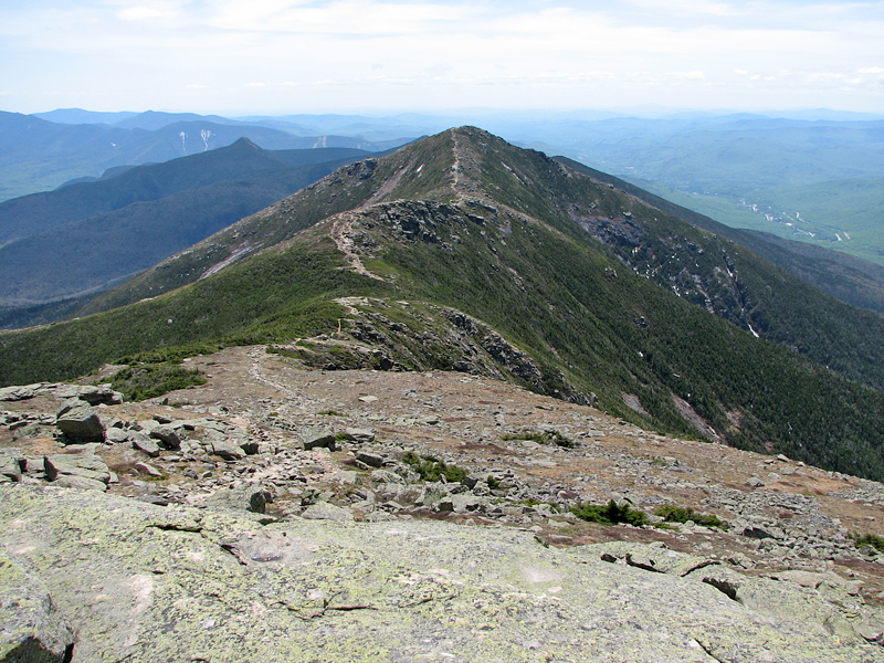
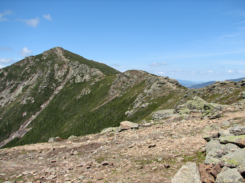
Looking
south down Franconia Ridge. The more prominent peak on the ridge
is Mt Lincoln. Little Haystack in mostly hidden behind it. |
 |