| |
|
|
Mt
Lafayette, Mt Lincoln |
|
|
|||||||||||||
After driving up from Massachusetts early that morning, I parked the car at the Falling Waters/Old Bridle Path trailhead, and Patches and I started up the trail around 7:15. The parking lot was very full for so early in the morning, so I knew that the trails might be a bit crowded, but I never guessed just how busy they were going to be. Besides the perfect weather, it was Columbus Day in the US and Thanksgiving in Canada, so everyone was out for a day in the mountains. I hadn't been on the traditional Franconia Ridge loop hike since Muffin and I were here back in August of 2004, nearly eleven years ago. I made a solo climb in 2011 but it was up the Greenleaf Trail via Eagle Pass and then down the Falling Waters Trail. After that, I never wanted to descend via the Falling Waters Trail again. With its numerous waterfalls, wet rocks, and steep sections, it makes a much better route to ascend. About twenty minutes into the hike, we stopped briefly at Stairs Falls so I could take a picture of Patches. Stairs Falls is a series of small cascades in Dry Brook, the first of three falls along the trail. We then continued past Swiftwater Falls where the trail crossed the shallow end of a pool at the base of the falls on stepping stones. After reaching Cloudland Falls, the last and tallest waterfall along the trail, the real work began, Here the trail climbs steeply around the falls to a wet ledge high above. And here is where we encountered our first taste of the crowds. People seemed to come out of nowhere, and Patches did not like it in the least when they got close behind us. She kept looking back and acting nervous, probably afraid they'd step on our heels. So each time someone came up behind us, we had to move to the side and let them pass. Since this was happening every few minutes, it got to be quite annoying, and severely slowed our progress. Above the falls, the trail crossed the brook on smooth wet ledges. This area had obviously been affected by Tropical Storm Irene as there was evidence of erosion and trees being knocked down by the floods. Eventually, the trail veered away from the brook, and began switchbacking up the steep side of Little Haystack Mtn through the fir and spruce forest. We passed right by the Shining Rock Spur and continued up to the summit where we encountered quite a multitude of hikers, including several who had passed us on the way up. The weather was perfect and the views were endless in all directions. I took a number of pictures, after which another hiker offered to take a picture of Patches and me. After Patches ate her food and I had a snack, it was time to continue on to Mt Lincoln. The trail to the north begins gently enough, swinging slightly downhill and following the slight curve of the narrow ridge. Along the way, it then climbs up, over, and around a number of minor crags, some of them a bit steep, and all of them rocky and rough. We stopped on one of these crags to take a picture of Patches, who mostly looked toward the camera for a change. Mt Lincoln was also congested but we took a slightly longer rest here as I was a bit tired, and both of us needed a break from someone always hiking at our heels. Somehow, I managed to take pictures that were mostly free of other people, so my photos don't reflect the crowds as they actually were. Eventually, I got tired of having to listen to the number of disparate conversations taking place around us, including one particularly loud guy who was regaling his hiking partners with tales of bravery and conquest in the mountains, so we got up from our rest and began to move on toward Mt Lafayette. From a distance, the route to Lafayette seems almost endless, but it goes rather quickly when you start hiking. The final climb to the summit, though, was particularly disheartening; so many hikers kept appearing directly behind us and spooking Patches that we were forever being forced to step to the side of the trail and let them pass. As soon as we let one group go by, another would appear out of nowhere. Eventually, of course, we made it to the top. Finally, Valhalla at last! Well, it would have been Valhalla anyway if it weren't the most densely-packed summit of all. I wanted to take a picture of the two of us by the summit sign, but one large group kept hogging it, even after they finished taking their photos. I gave up that idea and just took a picture of Patches resting on a flat rock, although they eventually moved away long enough for me to take an extreme closeup of the trail sign with little more than someone's backpack in the picture. Of course, you can't blame people for wanting to hike on such a great fall day, but I do wish that hikers would limit the size of their group or break up into smaller groups for the hike and only meet all together at a hut, restaurant, or somewhere similar after the hike. And on the summits, I wish that they would be aware enough of other hikers so as not to monopolize the best viewpoints or picture spots, and not dominate the entire summit area. Anway, we finally began our descent, moving quickly downhill but stopping to take a couple of interesting photos along the way. At Greenleaf Hut, we stopped for a short rest and for me to go in and buy a tee-shirt. While I was inisde, some friendly hikers watched Patches for me. I had tied her up at the bottom of the steps, and she hated to be left alone, even for a couple of minutes. From there, it was an endless hike down the Old Bridle Path back to the car, where we were glad to just sit and rest on the drive home. |
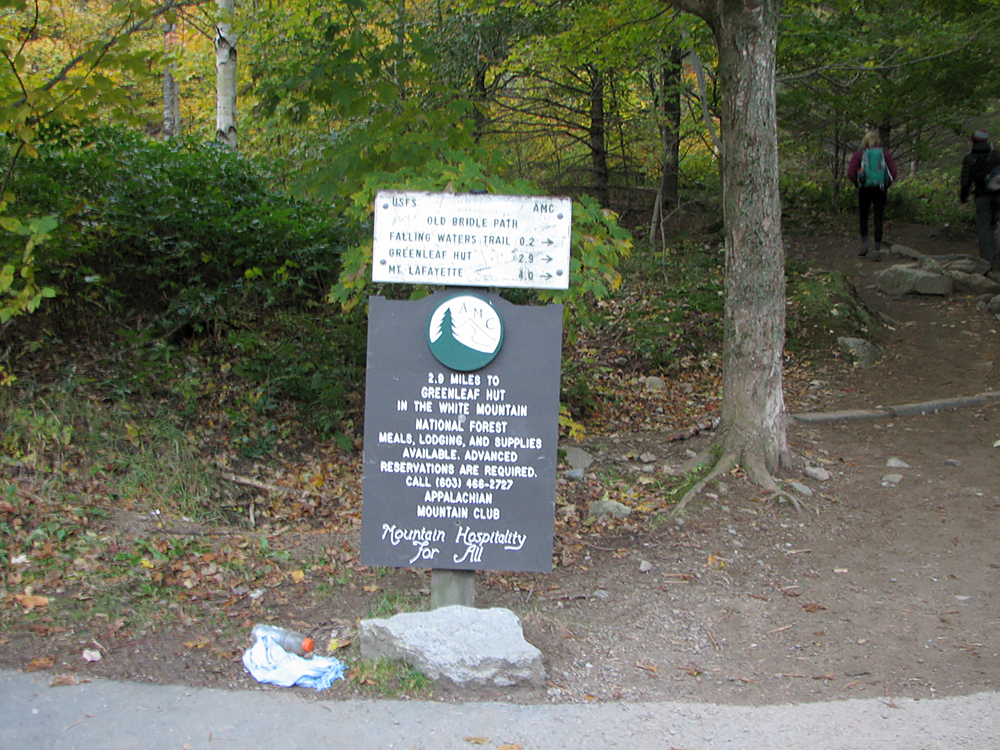
Trailhead. Both the Falling Waters Trail and Old Bridle Path begin and end here, making a loop hike easy. |
|
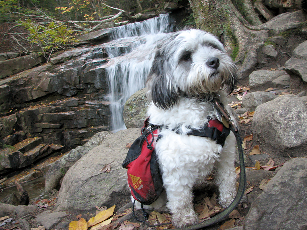
Stairs Falls. The first of three falls along the Falling Waters Trail, Stairs Falls is a series of small but pretty cascades in Dry Brook. |
|
|
Patches by Stairs Falls. As usual, it was hard to get her to look at the camera. |
|
|
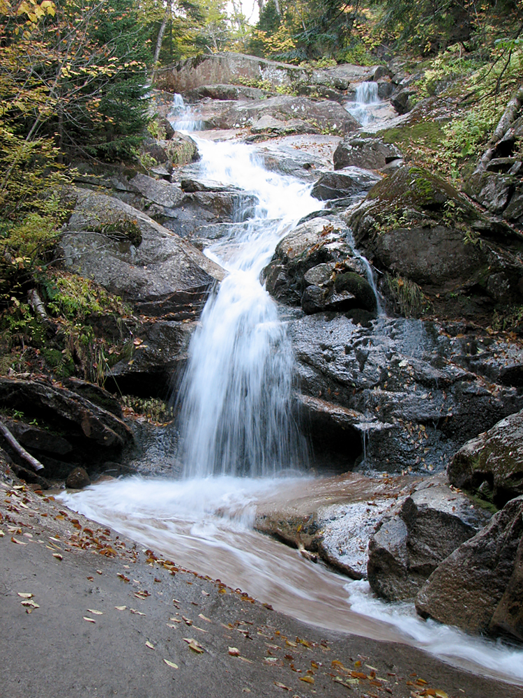
Swiftwater Falls. This waterfall tumbles into a small pool in the brook. The trail crosses the shallow end of this pool on stepping stones. |
|
|
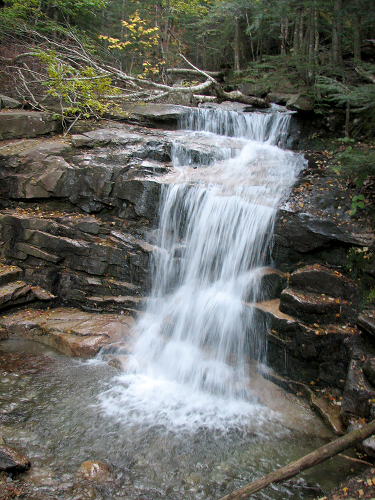
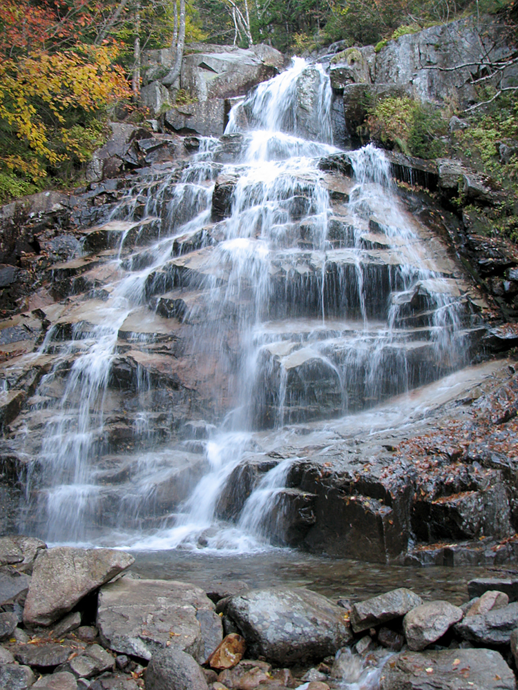
Cloudland Falls, the highest falls along the trail. Here, the trail climbs up steeply to a ledge at the top of the falls. |
|
|
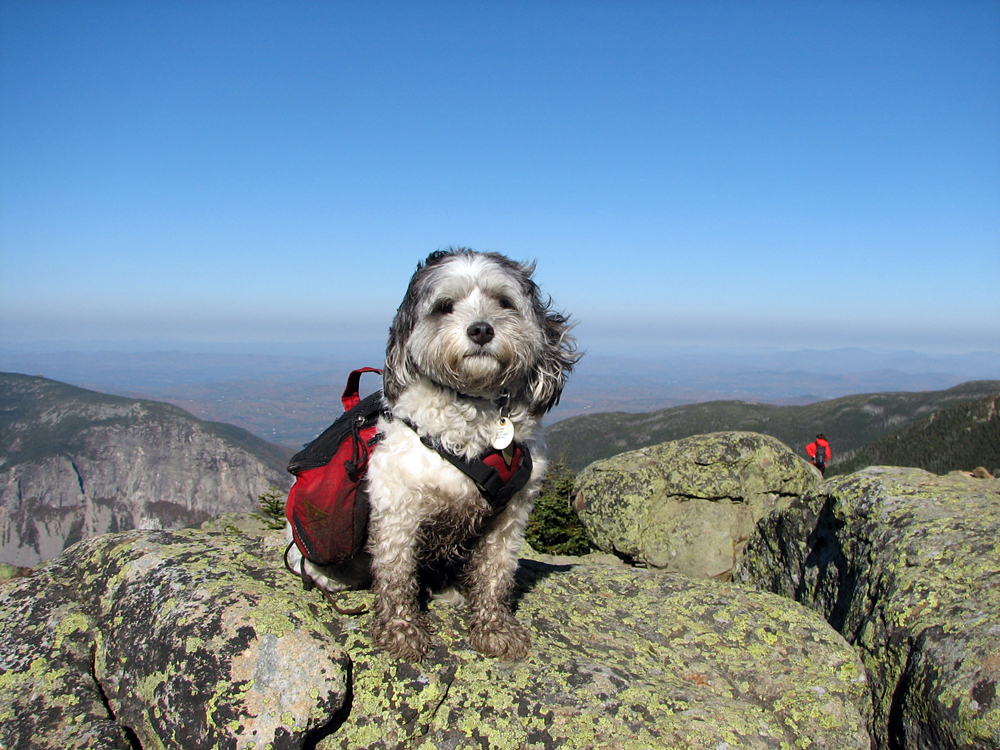
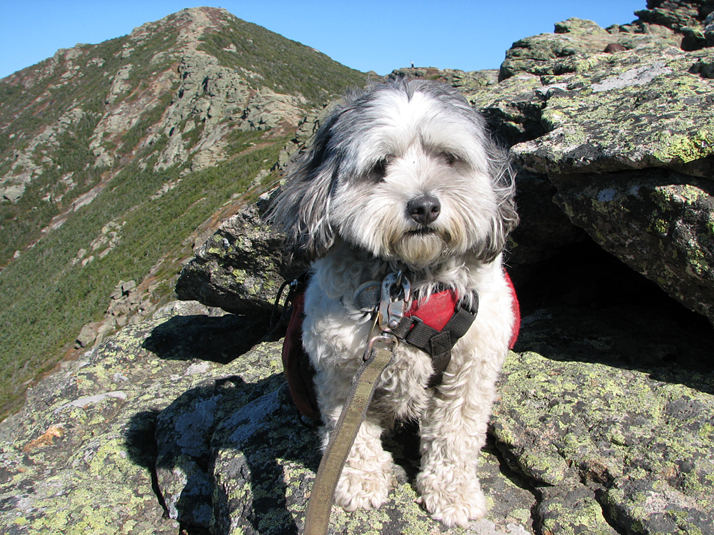
Patches at the summit of Little Haystack Mountain. Little Haystack is close to 5000 ft, but is not considered an official 4000-footer. |
||
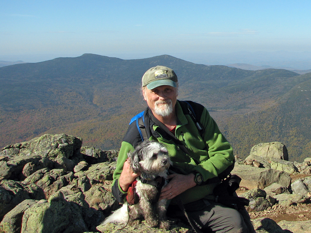
Patches and I on Little Haystack. Another hiker offered to take our picture. |
|
|
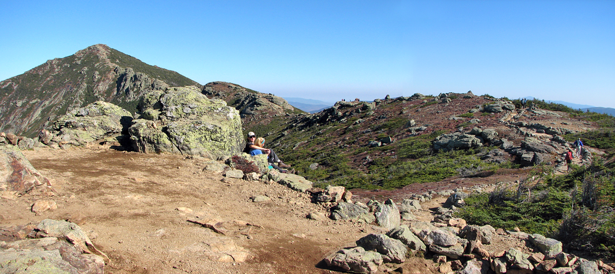
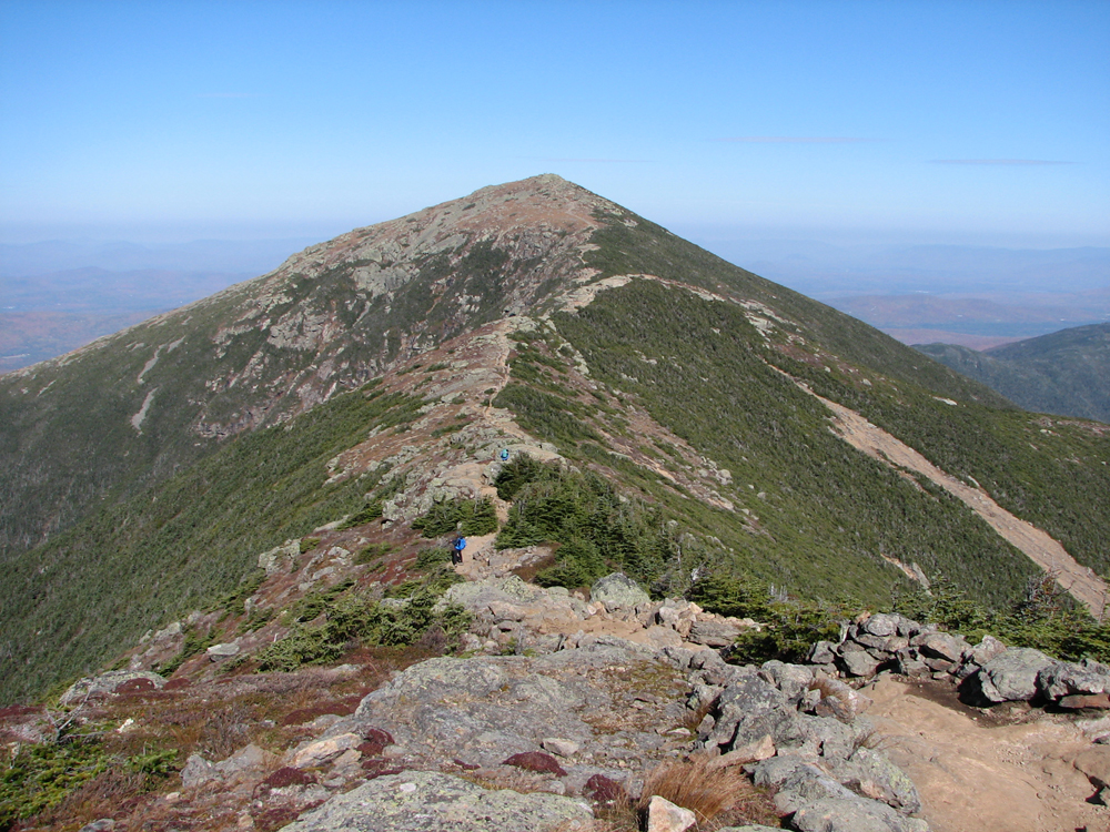
Looking north from Little Haystack at the Franconia Ridge Trail as it winds it way to up to Mt Lincoln. |
|
|
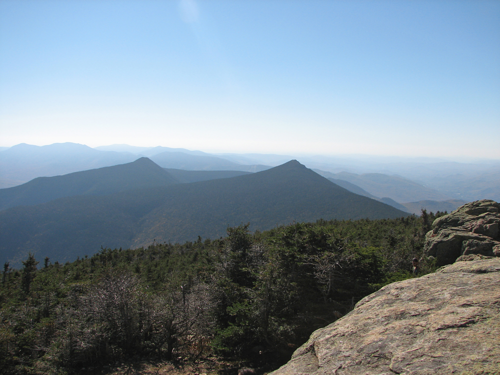
Mts LIberty and Flume from Little Haystack. Mt Flume is the southernmost peak on Franconia Ridge. |
|
|
Patches sitting on a rocky outcrop on our way to Mt Lincoln. |
|
|
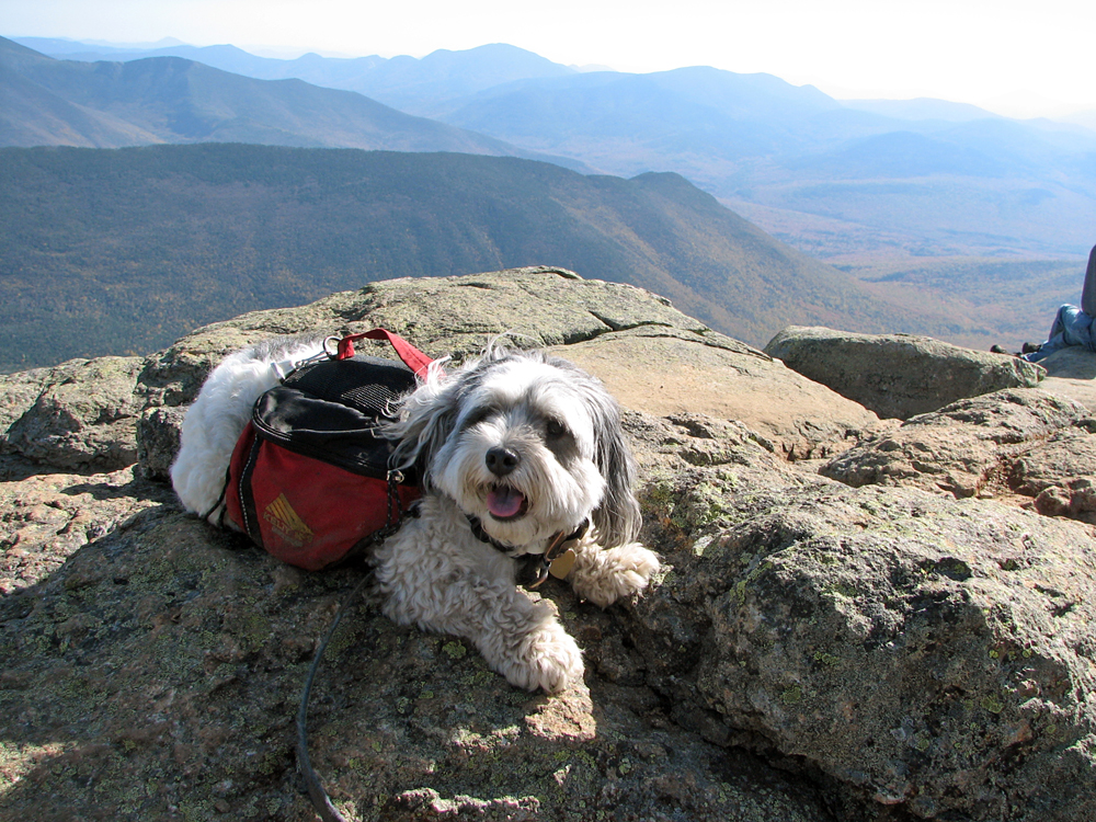
Patches resting on Mt Lincoln. Owl's Head is directly behind her, followed by the southern end of the Bonds range, the Hancocks, and Mt Carrigain. |
|
|
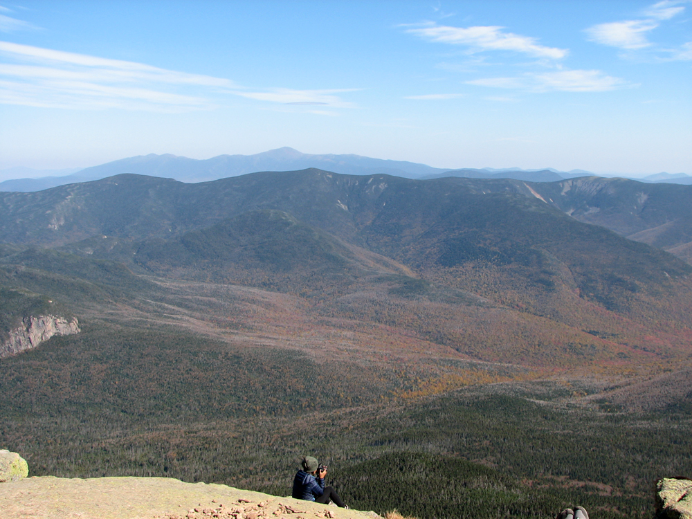
Looking north as the Franconia Ridge Trail continues on toward Mt Lafayette. |
|
|
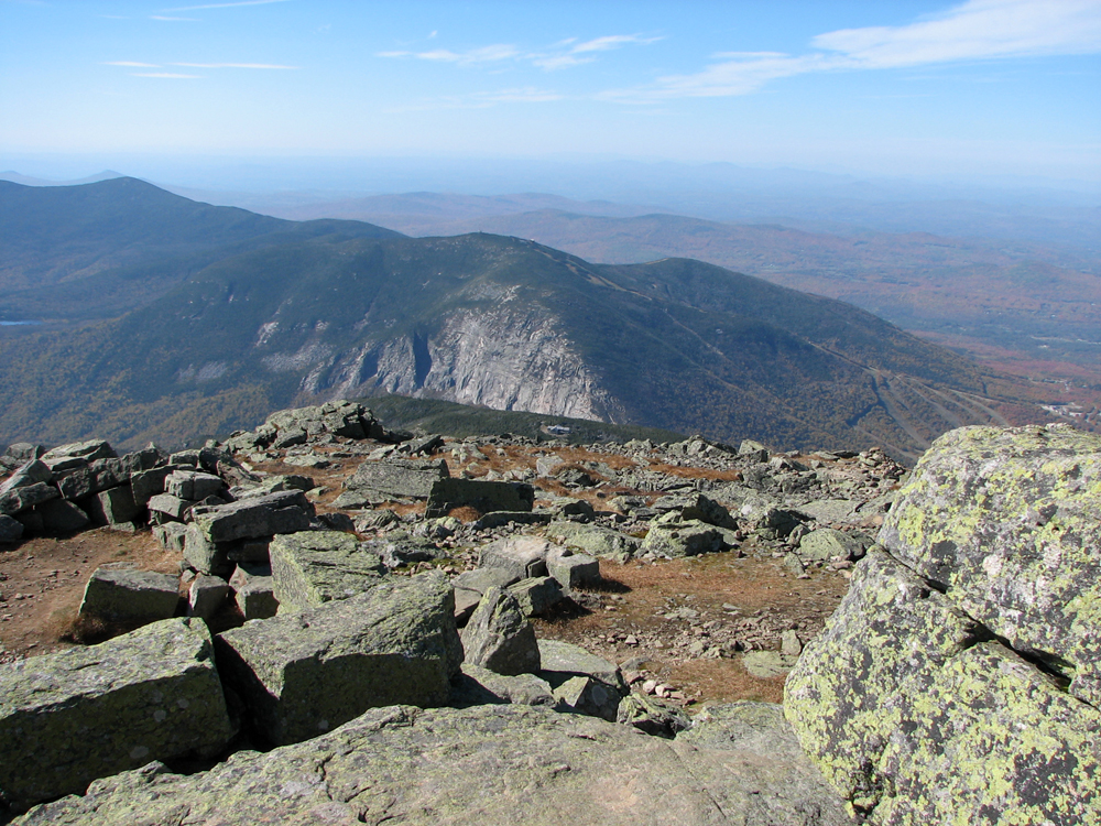
Cannon Mtn from Mt Lafayette. To its left are North Kinsman and Lonesome Lake. A tiny Greenleaf Hut is also visisble on the ridge in front of Cannon Cliffs. |
|
|
Mt Garfield and the Twins from Mt Lafayette. In the distance, Mt Washington and the northern Presidentials tower above the other peaks. |
|
|
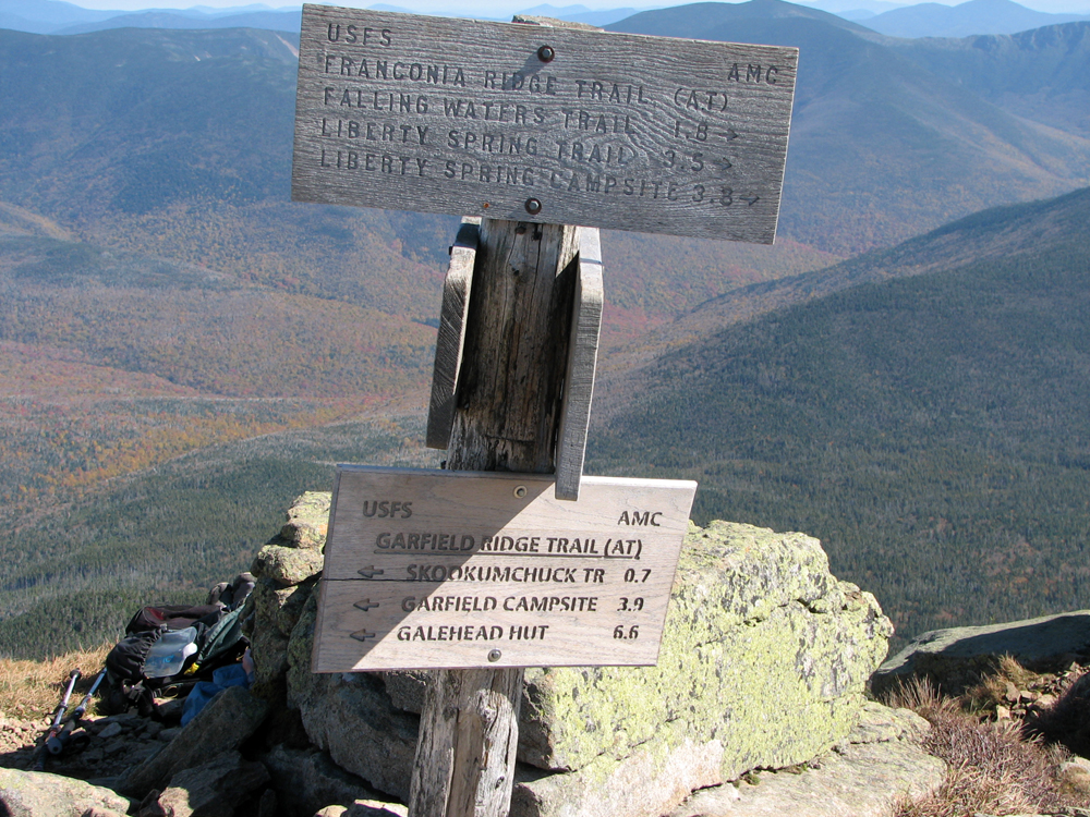
Trail signs at the summit of Mt Lafayette. The signs were probably replaced fairly recently as they are in pretty good shape. |
|
|
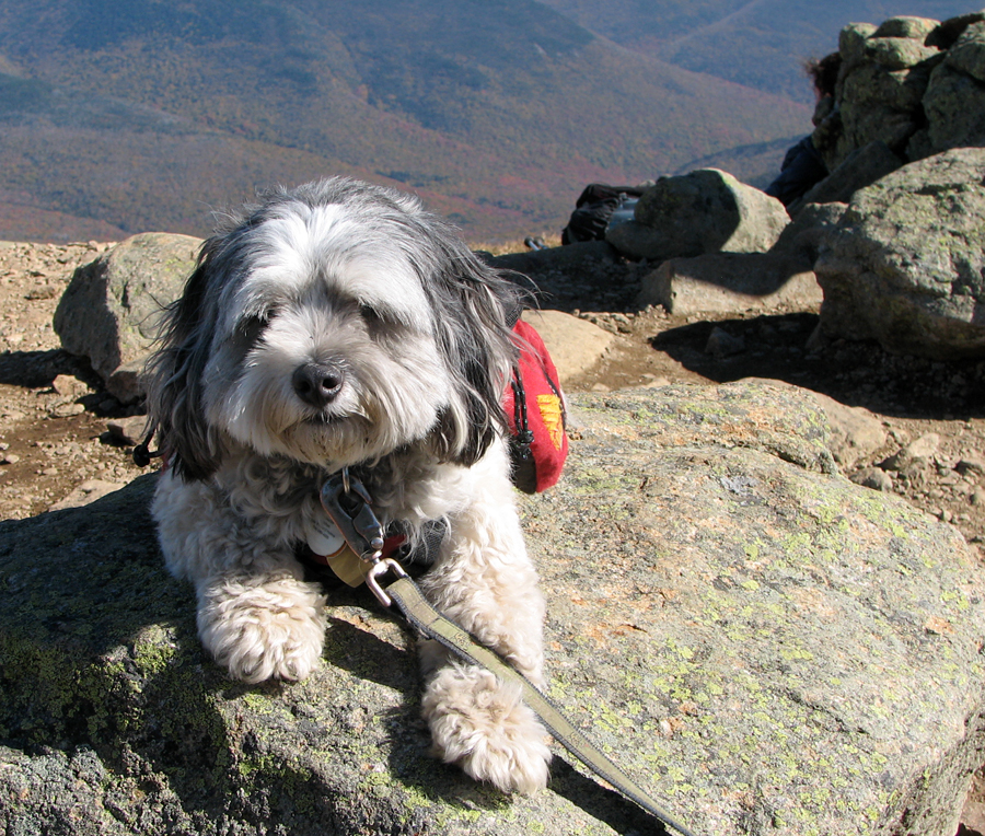
Patches on top of Mt Lafayette. The trails and peaks were extremely crowded and she was a bit intimidated by all of the people. |
|
|
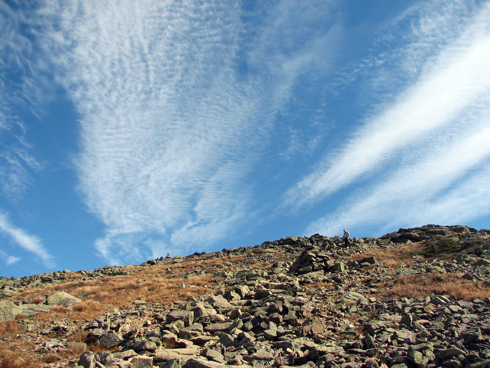
High clouds over Mt Lafayette as we made our way down the Greenlleaf Trail. |
|
|
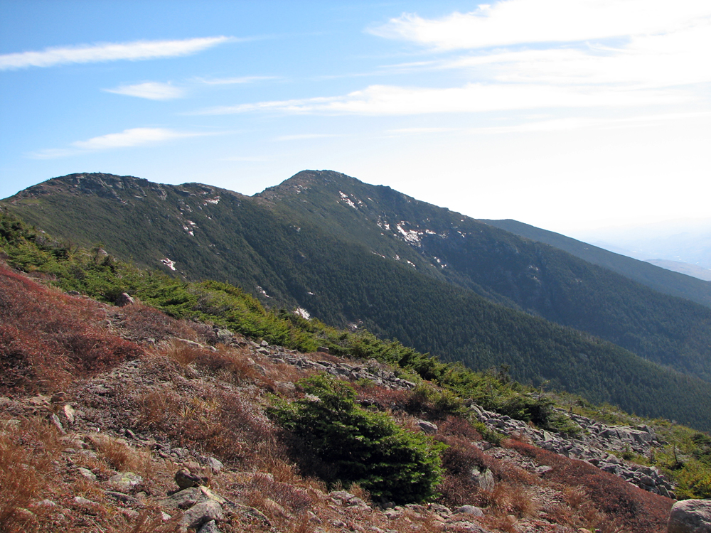
Looking back at Mt Lindoln and Franconia Ridge from the Greenleaf Trail. The shiny bright patches on the slopes are wet ledges reflecting the sun. |
|
|
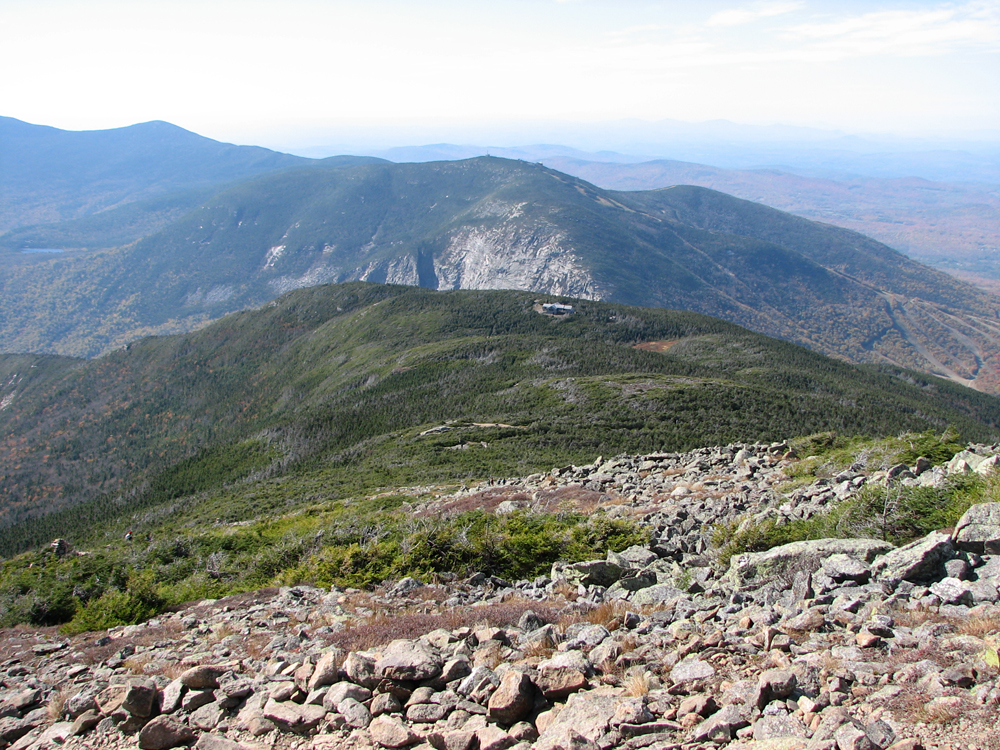
Another view of Cannon Mtn, North Kinsman, Lonesome Lake, and Greenleaf Hut from the Greenleaf Trail. |
|
|
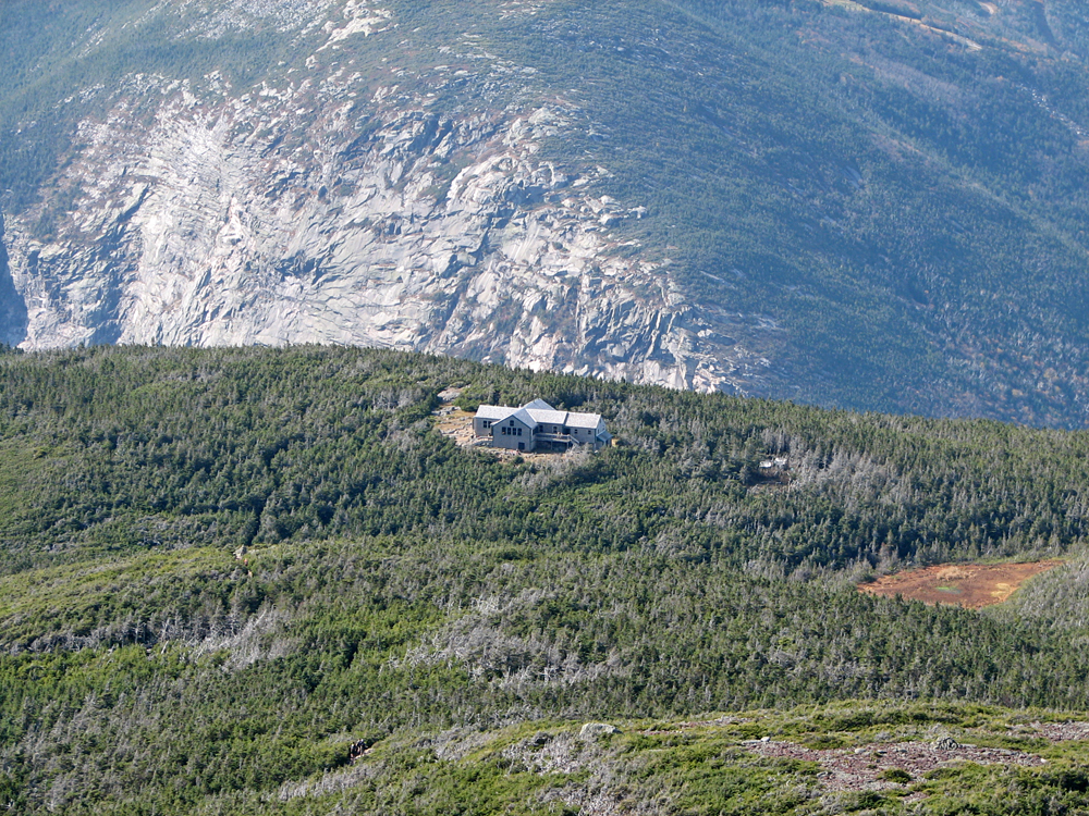
Closeup of Greenleaf Hut against a backdrop of the Cannon Cliffs. |
|
|