|
I hadn't been up to the White Mountains
since the previous November and that trip had only been to the
relatively low summits of Mts Sugarloaf and Pemigewasset, so I was
anxious to climb one of the 4000-footers again. I chose Mt Liberty
because it was close and because I knew that the trail would be
well-packed out, and therefore firm.
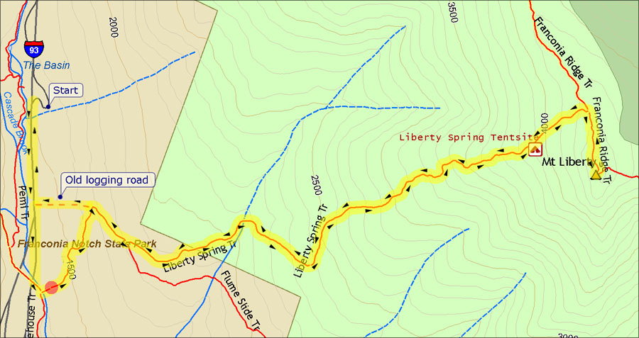
Instead of taking the usual route from the
Flume via the Whitehouse Trail, parked at the Basin parking lot
and followed the bike path south to the trailhead. The bike path was
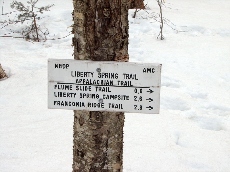
mostly icy with patches of bare asphalt. Once on the Liberty Spring
Trail, which was quite firm and somewhat icy, I put on my Kahtoola
Microspikes. Other than a quick test at a local trail near home, this
was the first time I'd used them since trading in a pair of STABILicers
after my November trip to the White Mountains. Unlike the STABILicers,
they proved to be very useful, easy to put on and take off, and very
light.
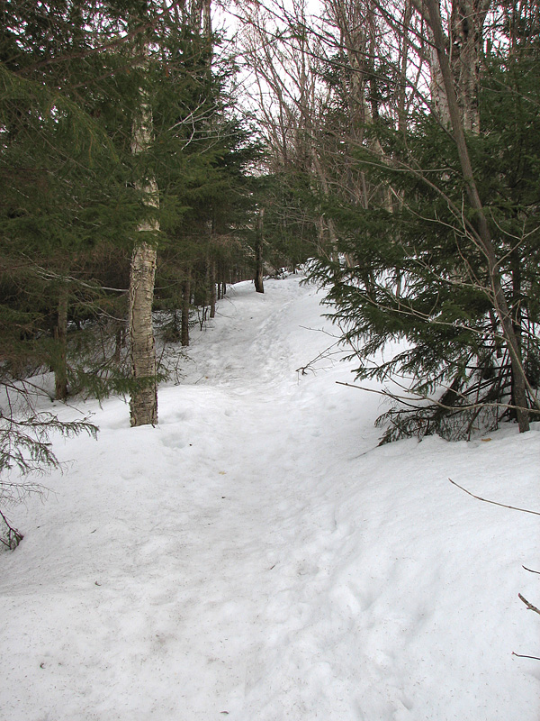
The temperature was cold enough and the snow
was so firm that I didn't have to worry about stepping off the packed
center ridge of the trail that hikers often refer to as a "monorail"
when the snow around it melts away. This made hiking particularly easy,
as I didn't have to worry about postholing if I strayed from the middle
of the trail.
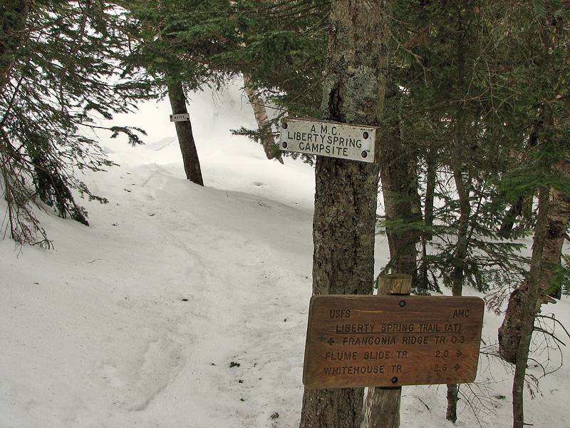
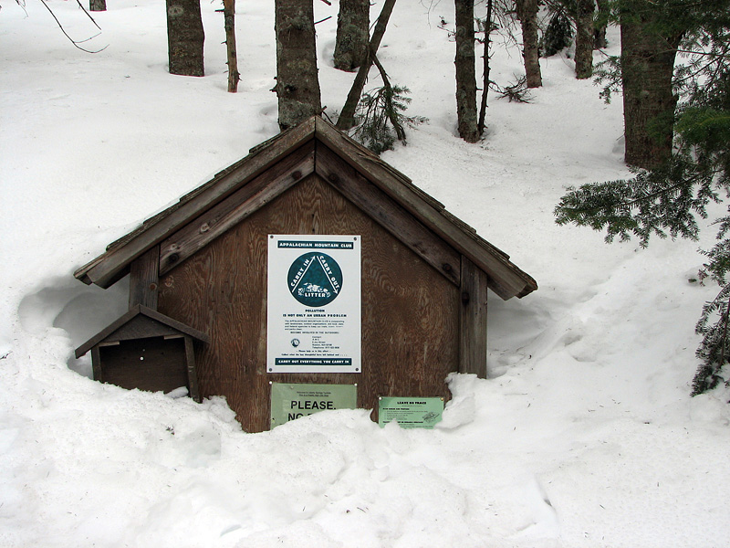
Although I knew the snow was still fairly
deep, I couldn't tell how deep it was until I reached the Liberty Spring
Campsite a couple of hundred vertical feet below the ridge. The tent
platforms were still completely buried and only the top of the
campsite's bulletin board peeked out of the snow cover.
I sat down in the snow for a quick snack
and drink of Powerade. Since I tend to perspire a lot, even in the
winter, I almost always bring one bottle of Powerade or Gatorade on a
day hike as an electrolyte supplement to the water I carry. And on
overnights, I usually buy some powered Gatorade to add to a water
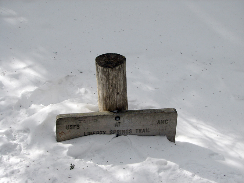
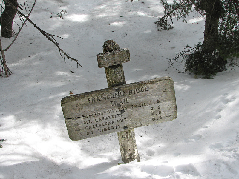
bottle. After my break, I continued up to the ridge, where both the
Liberty Spring and Franconia Ridge Trail signs were even more deeply
buried than the ones at the campsite.
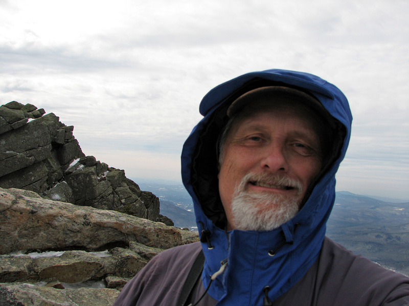
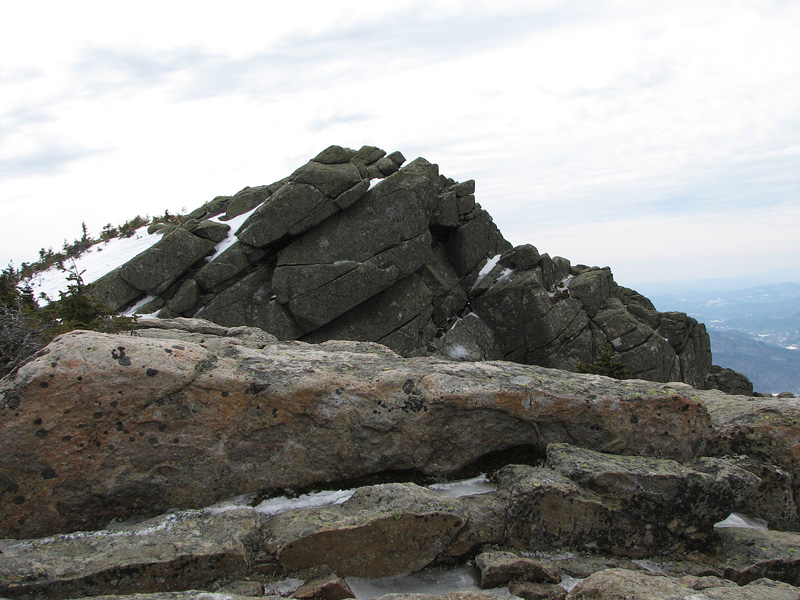
It's only a short 200 feet or so climb to Mt
Liberty from the ridge junction, but the temperature difference was
striking. Once I was out of the trees and onto the bare summit, the
stiff wind blowing up from the notch caused me to hunker down in the lee
of some rocks just so I could change the batteries in my camera, which
had just then ran out of power, probably due to the cold. When the
camera was working again, I quickly began to take as many pictures as I
could in as short a time as possible. |
Liberty Spring
Trailhead. The trail begins near the spot where the Franconia Notch
bike path crosses Cascade Brook. The Whitehouse Trail from the Flume
parking lot also ends here. |
 |