|
This was the second hike in a row where
I didn't have to drive all the way from home. Instead, our family
was at an event near Hebron, Maine, which was only about an hour's
drive from Gorham. I decided to take Saturday off so Muffin and I
could climb Mt Madison, this time, approaching it from the south via
the Osgood Trail, and hopefully descending on the Daniel Webster
Scout Trail. I'd already been up from Appalachia a number of time,
so I wanted to try something different.
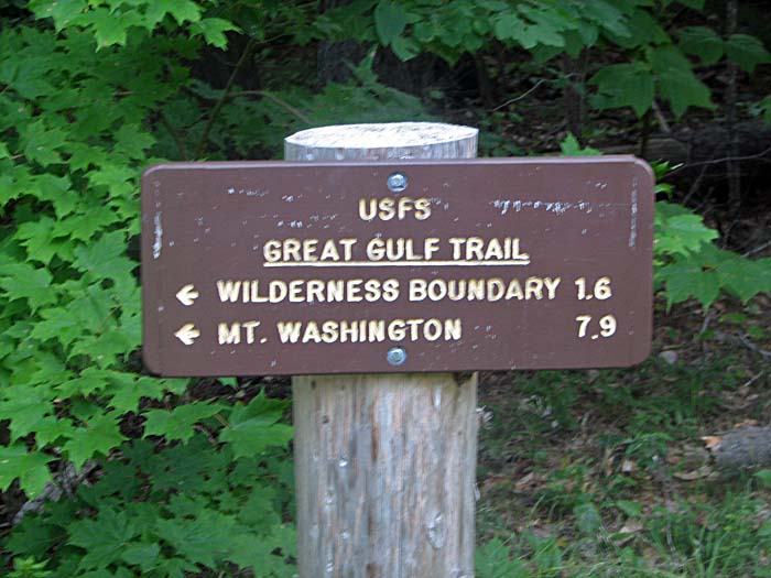
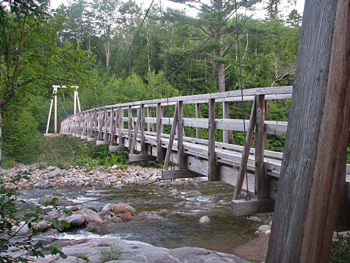
I parked at the Great Gulf Trailhead off Rt 16 in Pinkham
Notch, and we got off to a nice early start, immediately
crossing the West Branch of the Peadbody River over a suspension
bridge and heading off into the depths of the Great Gulf.
The trail was fairly flat, so there
was plenty of time to warm up before hitting the steep sections
higher up. We hiked leisurely along, listening to the babbling
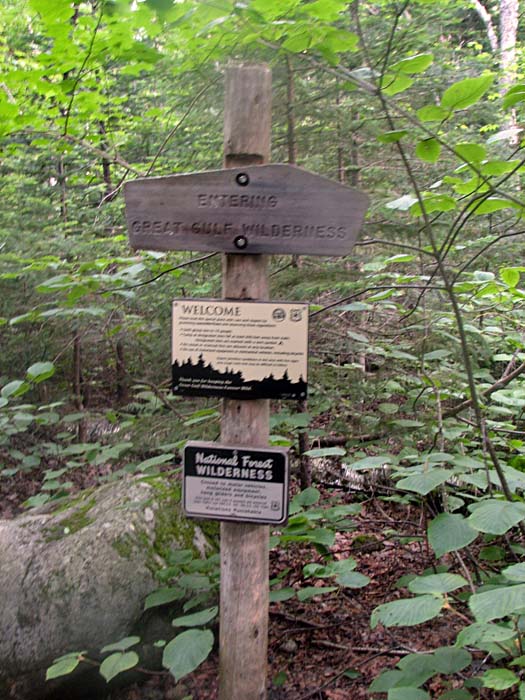
of the nearby river and the lively chirping of the birds. Before
long, we crossed the boundary into the Great Gulf Wilderness,
and shortly thereafter, reached the junction with the Osgood
Trail.
We immediately began climbing
moderately out of the ravine, the trail becoming gradually
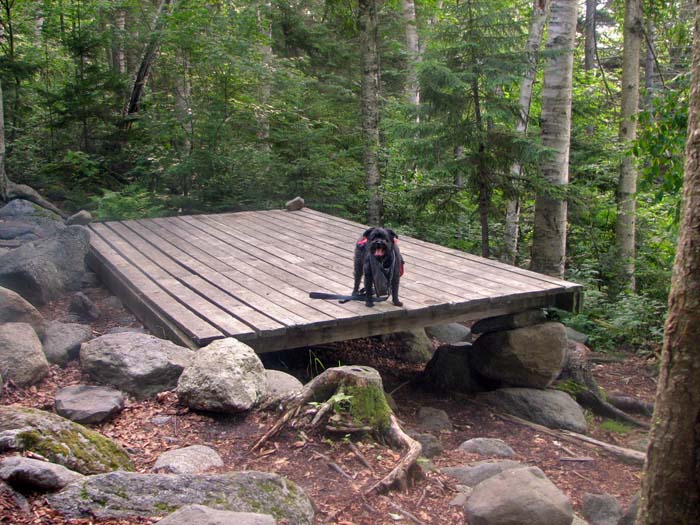
steeper as we got higher. At the intersection with the Osgood
Cutoff, we reached the Osgood Tentsite. Someone had set up a
tent on one of the platforms, and another hiker was still
sleeping next to it outside, so we quietly took a look around,
then stopped by the nearby spring so I could refill our water
bottles.
Above the tentsite, the trail continued
to climb more steeply, and before long, I expected to break out into
the open at any minute. It was a false impression though, and we
continued on under the canopy of trees for some time. Finally, not
long after huffing and puffing my way up a particularly steep
section, I turned around and got a glimpse of the world we had left
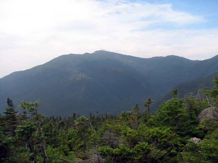
far below. A few steps further, and we were completely out of the
trees. To the southwest, Mt Washington towered over the gulf, the
thin line of the Auto Road cutting across it eastern slopes. Ahead,
Mts Adams and John Quincy Adams, looked hopelessly distant.
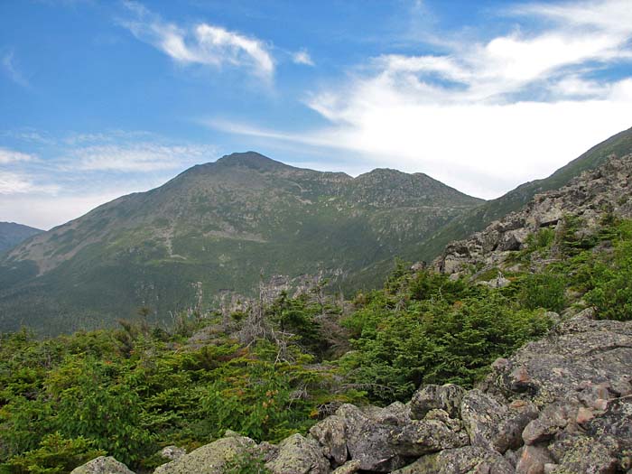
When I first hit treeline, I always feel
a burst of energy, but this usually fades when I get a good look at
the path ahead and notice how far I still have to go. Today was
no exception, as the ridge rose steadily in front of us over numerous
humps and rocky outcrops before reaching the tiny and far-off summit
of Mt Madison. |
Great Gulf Trailhead.
As the sign says, it's 1.6 miles to the Great Gulf Wilderness
boundary. |
 |