|
It
was nice to get out climbing again. Our previous October hike up
Jefferson, Adams, and Madison was just a couple of days before a
storm dumped several feet of snow on the White Mountains. Between
that and some subsequent bad weather, it wasn't until late November
that we could get out again. Muffin had only three more peaks to
finish her 4000-footers, and I was hoping to finish them by the end
of the year. This would be number 46.
As usual, we left early and drove north
to the White Mountains. Not long before reaching Plymouth, we
encountered some early morning snow squalls which made driving
slippery and dangerous. Never-the-less, we made it in one piece to
Moosilauke Ravine Lodge just a little later than planned. Ravine
Road was open with only a dusting of snow and we parked right in
front of the now closed-for-the-season lodge.
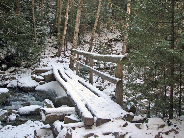
The
Gorge Brook Trail officially begins at the turnaround at the end of Ravine Road, heading downhill and circling
in back of the lodge on the other side of the Baker River, but we
just cut across the lodge's rear lawn and crossed a
bridge to meet up with the trail. We soon reached the junction where the
Hurricane Trail diverges
left, and almost followed it because I wasn't paying enough
attention. The Gorge Brook Trail bears right and begins to follow the
brook moderately uphill.
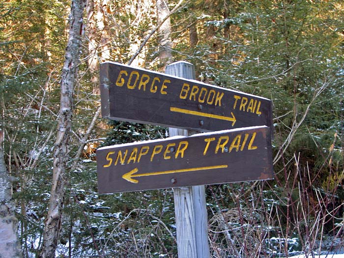
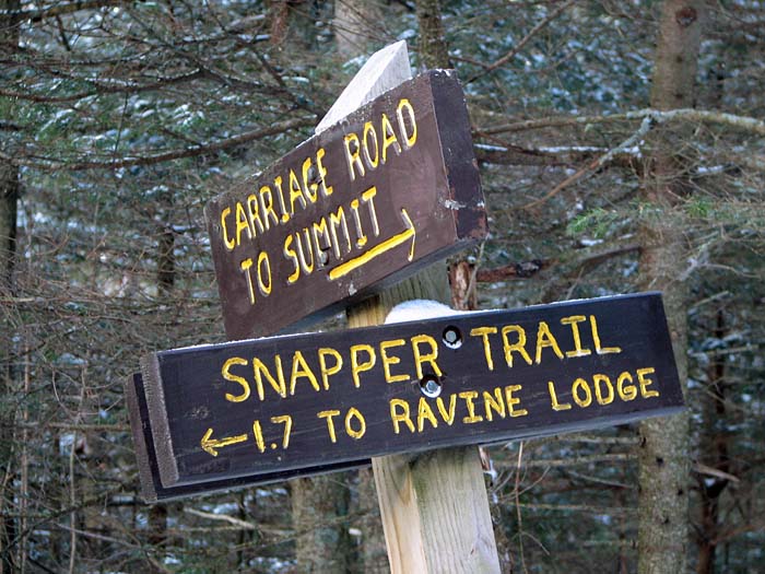
After
crossing a second bridge over the brook, the Gorge Brook Trail turns
right, but we continued
straight ahead on the Snapper Trail as we were planning on taking
the Moosilauke Carriage Road to the top, and then coming back the
same way.
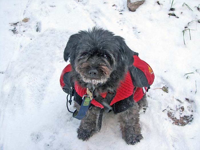
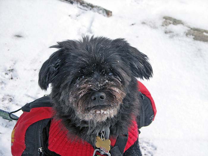
When I stopped for a short rest and a
drink of water, Muffin was up to her usual tricks of rubbing her
face in the snow, coming up with a white frosty beard. She doesn't
seem to mind the lumps of ice stuck to her face, and must get most
of her water intake this way, as she hardly ever drinks any water
that I offer her on winter hikes.
This particular route of the Snapper
Trail is only a few years old, and is still pretty rough, rocky, and
rooty. Since there wasn't enough snow to fill up the space between
the rocks, I had to choose my steps carefully.
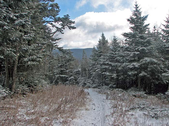
In a short time, we reached the junction
with the Moosilauke Carriage Road, and turned right to follow this
wide trail to the summit. I soon noticed that there was more than a
mere dusting of snow on the ground as we got higher, but it still
wasn't all that much. The clouds were clearing too, and the views to
the distant peaks to the southeast were good, though restricted. |
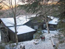
Muffin in front of Moosilauke
Ravine Lodge. The lodge and most of the surrounding land is owned
by the
Dartmouth (College) Outing Club, which also maintains the trails. |
 |