The
day began with light snow and about 30 deg at the Lonesome Lake trailhead. It
got a little colder as I climbed higher, down to about 20-25 deg, and probably
got into the 40s at the bottom. The snow was on and off all day, mostly off, but
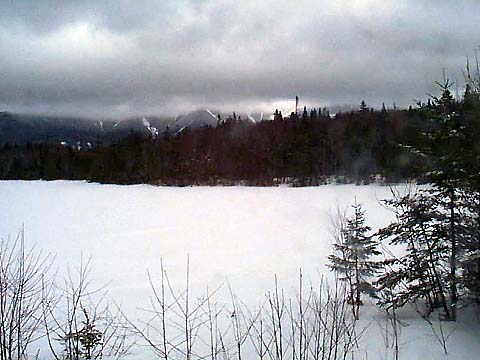
it stayed cloudy with patchy fog. When I got to the summit, there was fog at the
tops of all the higher mountains, starting around 3900 ft. There was about 1-2
feet of old snow at the bottom, going to maybe 3-4 feet higher up. The trails
were mostly packed snow and ice covered with 1-5 inches of new powder. I had to
stay in the very middle of the trails to avoid postholing.
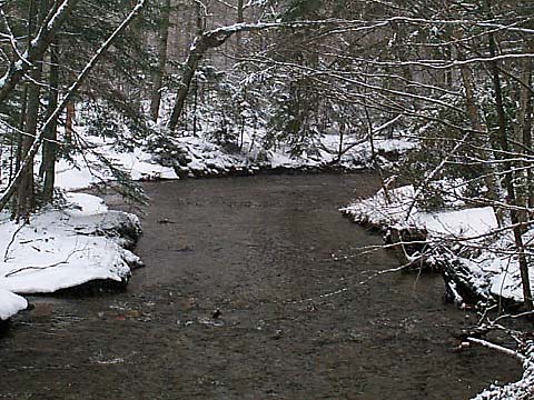
I
parked the car at the Falling Waters/Old Bridle Path trailhead, went under the
tunnel, and started up the Lonesome Lake Trail around 7:30 AM.
The
hike up to Lonesome Lake was
not difficult. The trails were fairly solid and the width of the packed area was
relatively wide. Having been that way several times in the past, it was a familiar
hike, although this was my first time up to Lonesome Lake in winter conditions.
I could hear and see the cars down in the notch better than usual with the leaves
off the trees. I was glad to pass out of range of the highway noise when I reached
the plateau at the top of the last switchback.
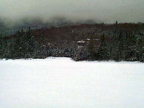
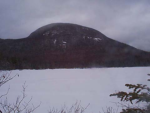
It
took me just over an hour to reach the north shore of the lake. I stopped to take
a picture across the lake to the hut. At that time of day, it was pretty foggy,
even down below 3000 ft. The lake was totally covered with ice and snow.
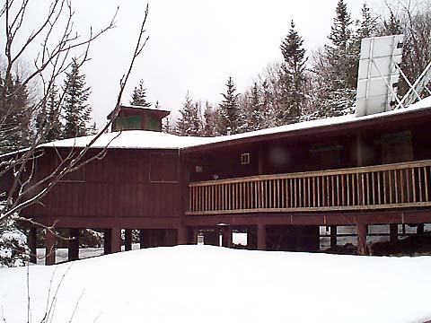
The
trail around the lake was a lot easier than usual because of the snow, which totally
covered the timber puncheons that you usually have to balance on to avoid the
mudholes on the trail. After reaching the south shore of the lake, I stopped for
a couple of minutes to take some pictures, then climbed the rest of the way up
to the hut where I rested for about 10 minutes on the porch of the lower bunkhouse
and ate a power bar. The doors of the hut and bunkhouses were all bolted shut
for the winter.
|
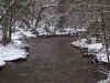
Crossing
the Pemigewasset River. A bridge over the river connects the parking lot and the
start of the trail at Franconia Notch State Park's Lafayette Place Campground. |
|

