|
At the base of the Mt Adams summit
cone, not far from Thunderstorm Junction, we diverged right onto
the Israel Ridge Path, which soon joined with Lowes Path on its
way to the top. This last stretch was difficult for Muffin, as
there are numerous gaping crevices between the boulders over
which the trail climbs. I had to help her over a few especially
wide gaps.
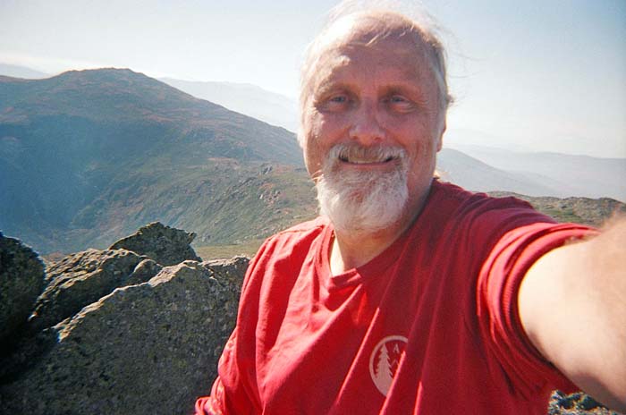
Finally, we were at the top! The views
were terrific as the clear and sunny weather was exceeding my
wildest expectations. There were already a couple of other hikers
at the summit but, even so, Mt Adams has a much more isolated
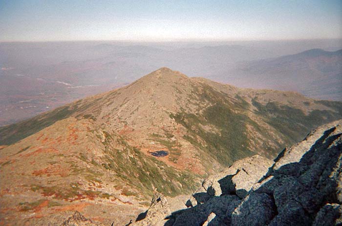
feeling than its somewhat higher neighbor, Mt Washington. To the
west, Mt Jefferson towered menacingly at the edge of the Great
Gulf and its offshoot, Jefferson Ravine. In the other direction,
Mt Madison and tiny Star Lake presided over the eastern end of the
Presidential Range.
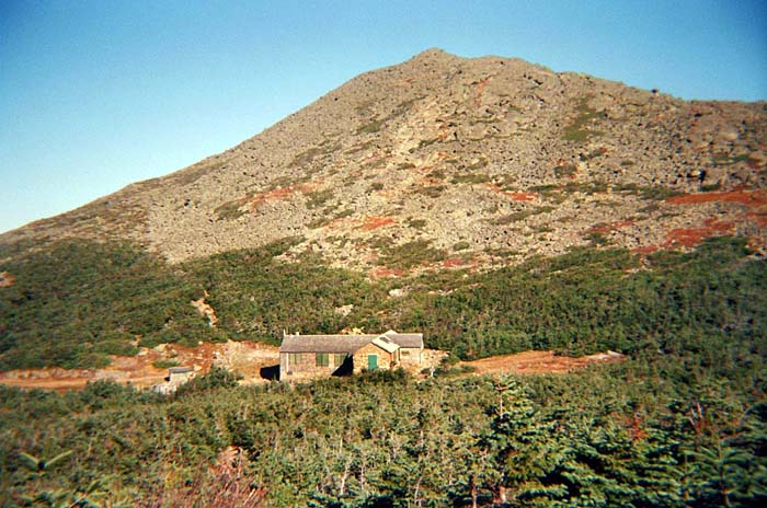
We still had a ways to go, so after a
short rest and snack, we started descending the Airline Trail toward
Madison Spring Hut. As the day wore on, Muffin was walking a bit
more slowly. I was a little tired too, so the constant
rock-hopping was starting to get old.
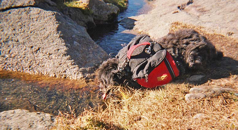
Outside the now
closed-for-the-winter hut, we stopped by Madison
Spring to rest. After taking a picture of Muffin drinking, I discovered that the disposable camera was stuck and the
film would no longer advance. I had taken our last picture of the
day, and I wished more than ever that my digital camera had not
been sitting broken at home.
On the move again,
we picked our way slowly and carefully up the steep and rocky Osgood Trail
to Mt Madison. At last, we reached the summit, where two large
cairns pointed the way to the top across a narrow ridge.
The
views down into the Great Gulf and back to Madison, Jefferson,
and Washington were still exceptionally clear. To the southwest, the twisty line of the auto
road snaked its way up the side of Mt Washington. But
the afternoon was waning and we were swiftly losing energy. I
decided that we would retrace our steps back down the Osgood Trail
and take the more sheltered Valley Way back down, rather than risk
descending the unfamiliar Daniel Webster Scout Trail in such an
exhausted state.
Even on the mostly gentle Valley
Way, our descent was painfully slow. In somewhat of a
"dog-tired" and confused fog, I was only vaguely aware of our
progress. All I wanted to do was sit down for 24 straight hours.
Eventually, we passed under the
power lines and emerged from the woods into the Appalachia
Trailhead parking lot. I wearily took off my pack and called
Art Jolin's White Mountain Shuttle (603-466-2127) from my cell phone.
He's from Gorham, so it only took him a few minutes to get there, and we
were soon on our way back to our car. He knew the way to Jefferson
Notch Rd from the north, so we didn't need to drive all the way
down to the Cog Railway Base Rd and backtrack to the trailhead
as I would have done. The hike was over, and we were soon on our
way home ... sitting down of course. |
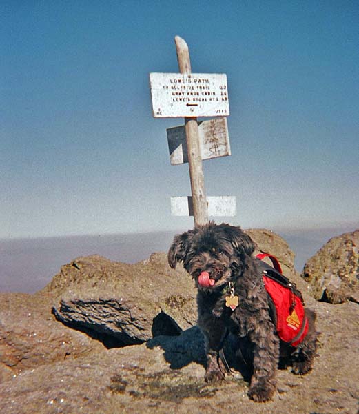
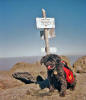
Muffin at the
summit of Mt Adams. Even with a couple of other hikers there, Mt
Adams has a much more isolated feeling than its somewhat higher
neighbor, Mt Washington. |
 |