|
This was our first 4000-Footer of the year. From Christmas until mid-March, I was in a lot of pain. I couldn't even reach down far enough to pull my own socks on, and I needed help getting my left arm into the sleeve of a fleece or coat. My doctor first thought it was sciatica (since it started in my thigh) but when it progressed into both thighs and into my upper arms and shoulders, I knew it was something else. I ended up on strong painkillers just to get through each day and sleep through the night. Turning over in bed was a nightmare. Finally, after repeated attempts to convince my doctor to do some blood tests (as I was sure it was something autoimmune-related), I found out that my sed rate and c-reactive protein levels were both extremely high (indicating inflammation).
I then managed to get in to see a rheumatologist and was diagnosed with polymyalgia rheumatica. It's in the same general class of disorders as rheumatoid arthritis but it mainly affects the muscles of your upper arms, shoulders, and thighs. Two days after being put on a 20 mg/day dose of prednisone, my pain was completely gone. I will be taking it long term. I managed to taper the dosage down slightly (to 17.5 mg/day), but when I go any lower, I end up getting winded too easily and my energy level gets low. At any rate, the pain has been gone for almost three months now and I can definitely live with that.
Okay, I was finally ready to go to the mountains in early April, but just then, a new issue arose - blood in my urine (gross hematuria), and yes, it was extremely gross. I ended up in the hospital for two nights and out of work for two weeks. During this time, I had to stop taking the coumadin (warfarin) that was prescribed for me due to my heart valve surgery and history of atrial fibrillation (afib).
Two weeks after going back to work, guess what happened again? It was beginning to get monotonous and even downright depressing. This time, I spent three nights in the hospital because I also developed a high white blood cell count and they put me on IV antibiotics. Once again, I was out of work for two weeks. Basically, this was happening not because of some serious disease but from minor capillary breakage in my bladder caused by heavy outdoor work and compounded by the coumadin, which turned what would have been an non-event into sustained internal bleeding in my bladder. Apparently, hospitals see a lot of this in people taking coumadin (and other blood thinners). Needless to say, I had had enough. I talked to my cardiologist about stopping the coumadin, and she said that I could, as long as I didn't develope afib again. Luckily, it's been a year-and-a-half since I last had afib. The heart surgery put an end to it.
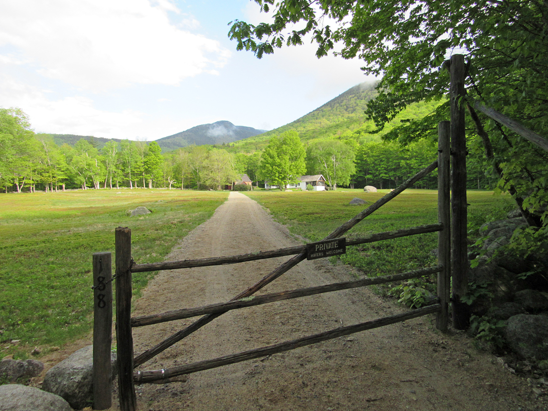
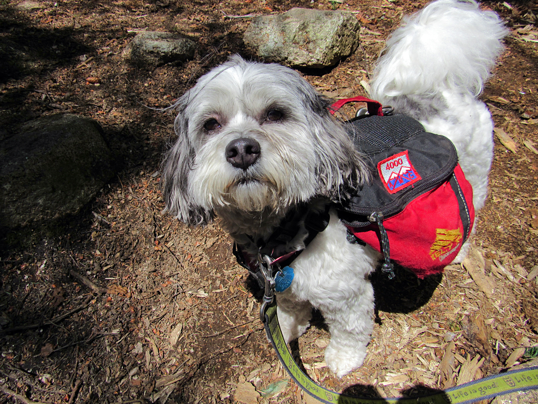
Three weeks after being discharged from the hospital for the second time, Patches and I
left home at 4:30 AM and drove north to the Dicey's Mill Trailhead at the
end of Ferncroft Road in the town of Wonalancet, NH to climb Mt Passaconaway. I chose this trip because, of all the 4000-Footers that Patches had left to complete, it was a climb with a moderate elevation gain and distance, and I was a bit out of shape thanks to all the inactivity around my issues. And I wasn't ready to do the complete loop over both Whitehace and Passaconaway.
The
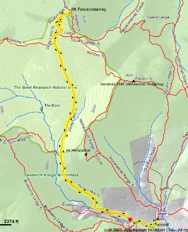
trail follows the parking lot access lane past a field where there's a
sign for the the Dicey's Mill
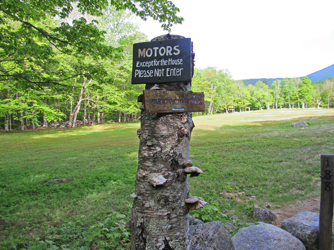
and Blueberry Ledges Trails. Then it turns right onto Ferncroft
Road and follows it the past several homes and then skirts around a gate and down a driveway that belongs to an adjacent
farmhouse where it feels like you're trespassing. But a sign on the gate reminds you that hikers are welcome.
The trail finally enters the woods and soon
crosses over into the Sandwich Range Wilderness. Not long after passing the Tom Wiggin Trail, we came to the Wonalancet
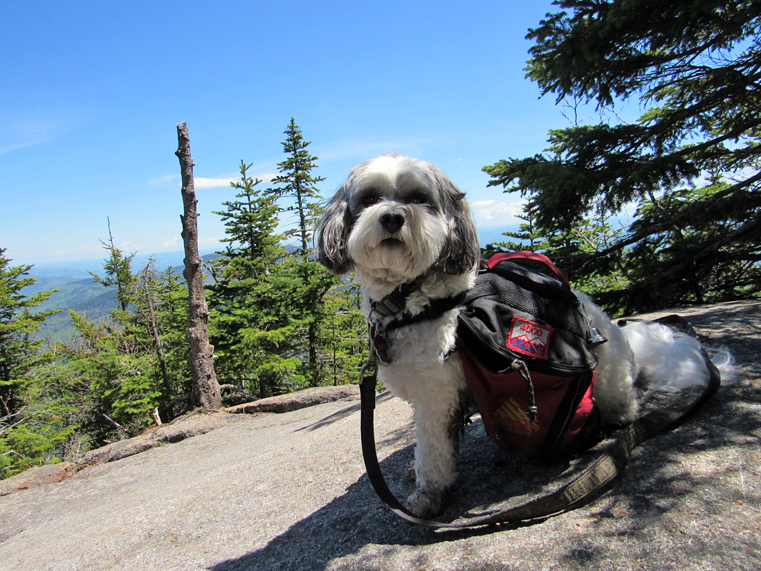
River, which was running a just a little bit high, but we made it across and Patches only got her feet wet. The trail now began to climb more steadily, angling up the side of the ridge. Partway up this section, we stopped for a short rest. Patches had one of the little plastic containers of dog food that she was carrying while I ate a power bar.
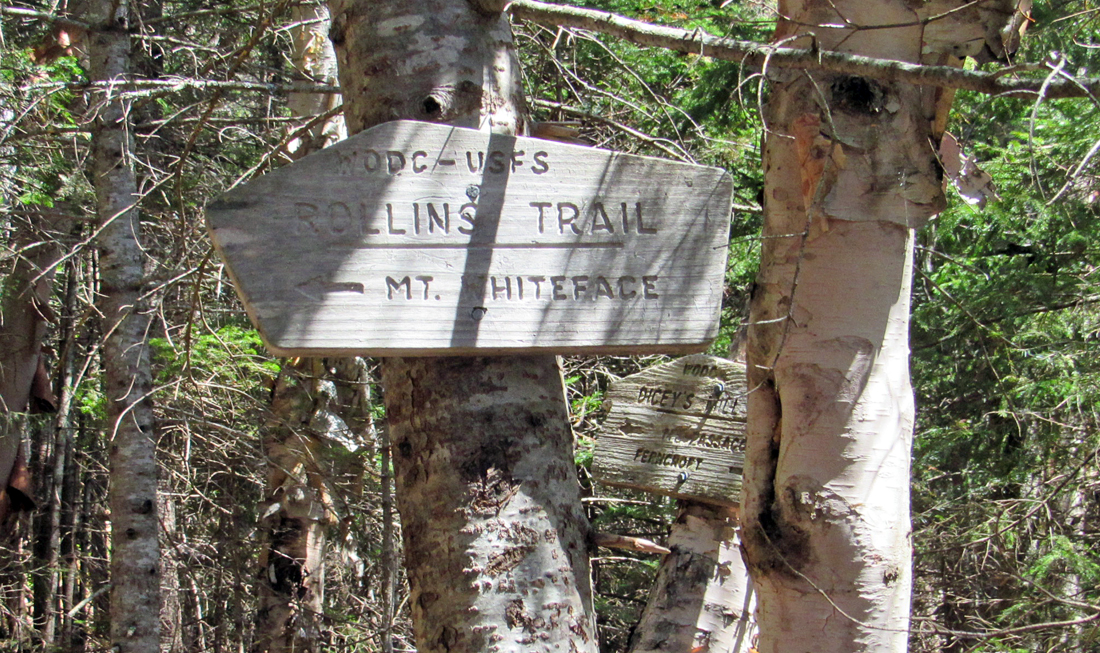
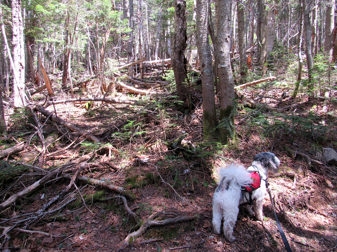
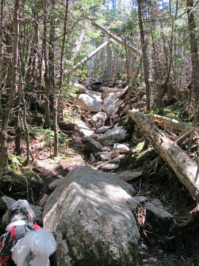
At the Rollins Trail junction, we stopped for another rest. As easy as this hike should have been, I was walking quite slowly and getting really tired, probably due to a combination of anemia from the recent bleeding issues and the four months of less than optimal aerobic activity. A bit further up the trail, we passed the junction with the East Loop, which connects to the Walden Trail to ascend the mountain from the other side. Beyond that point, the trail became steeper, switchbacking in wide arcs up the summit cone with a couple of really steep and rocky sections that required scrambling on my part.
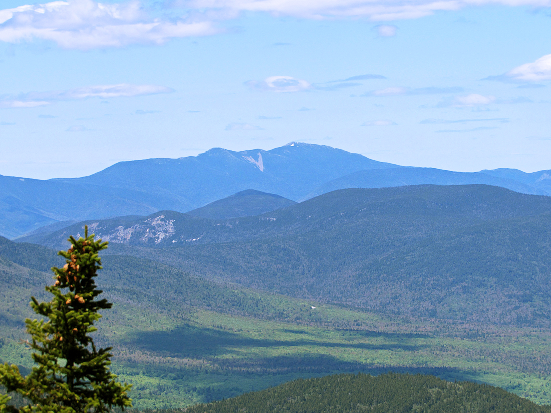
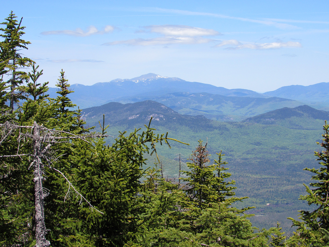
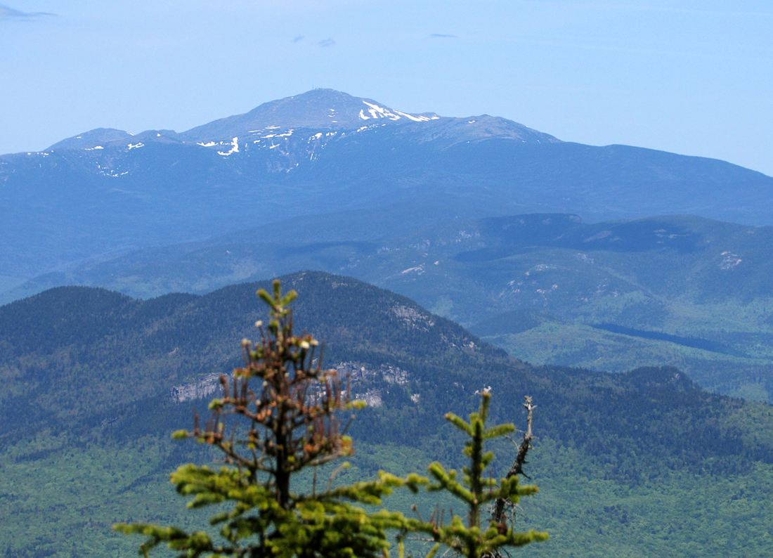
Finally, we made it to a northwest-facing ledge with excellent views. The nearby Tripyramids were particularly prominent, and a portion of the Waterville Valley ski slopes was just visible behind them. Slightly further north was the more distant Franconia Range where a small patch of snow still lingered on Mt Lafayette. Next, we took the nearby spur trail to the true summit of Mt Passaconaway but we didn't stay long and I didn't bother to take any pictures. Just a bit further down the Walden Trail, which begins where Dicey's Mill Trail ends, another spur trail heads somewhere downhill to a lower but unseen viewpoint. We walked down the trail about a tenth of a mile, and then gave up and turned around. A few steps further on the Walden Trail, a large ledge looks out to the east and north, and from there, we could see both Mt Washington and Mt Chocorua.
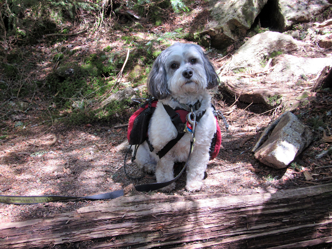
We relaxed on the ledge for about fifteen minutes. Patches ate her second package of dog food and we both enjoyed some reduced fat Pringles and a drink of water before heading back down. |
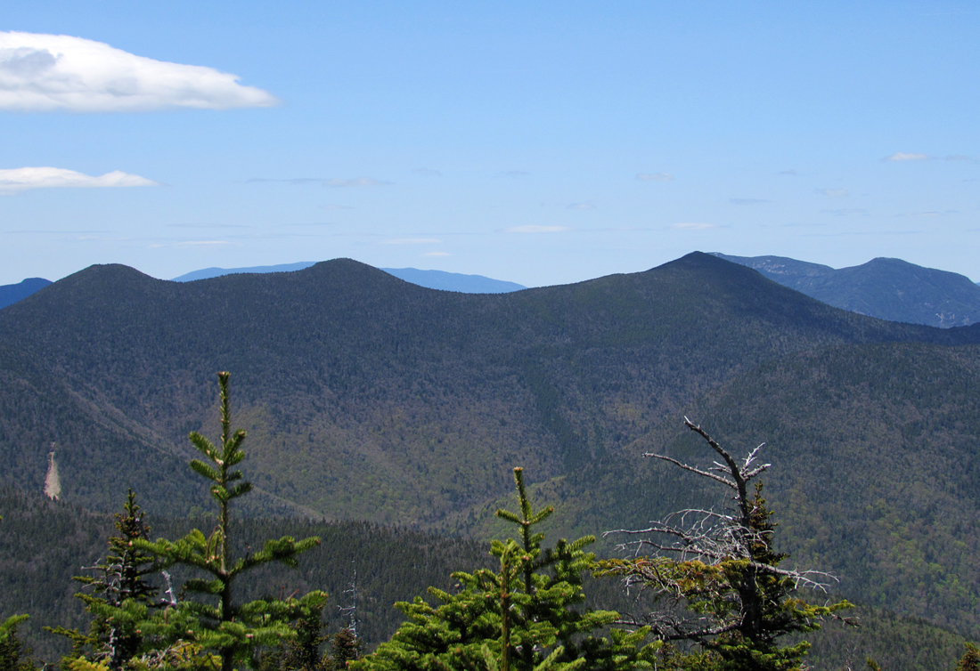
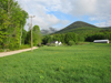
Mt Wonalancet in the foreground and Mt Whiteface to its left. Mt Passaconaway is not visible behind the much closer Mt Wonalancet. |
 |