|
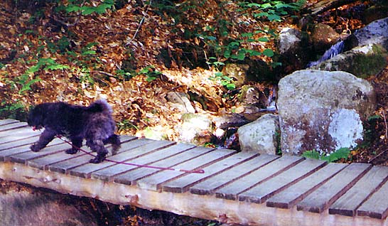
Muffin
and I left early as usual, around 4:30 AM. This was to be
my second attempt at climbing South Kinsman. An unbroken trail and
deteriorating weather had prevented me from making it
past North Kinsman
on a snowy hike back in March of 2000.
After stopping in Lincoln to
check in at home from a pay phone, I
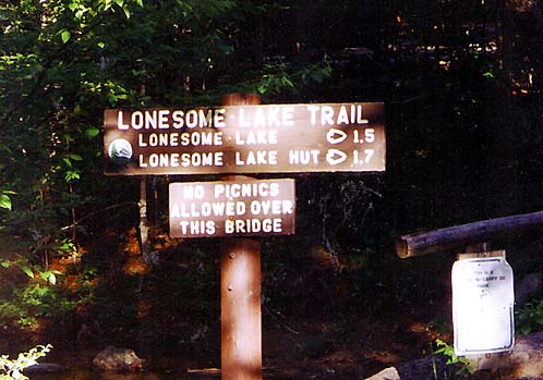
parked the car at the Lonesome Lake Trailhead at Lafayette
Campground, and we started up
the trail around
7:30.
Smoke from early morning campfires mingled with the scent of frying
bacon, hanging deliciously in the still air.
As
always, the
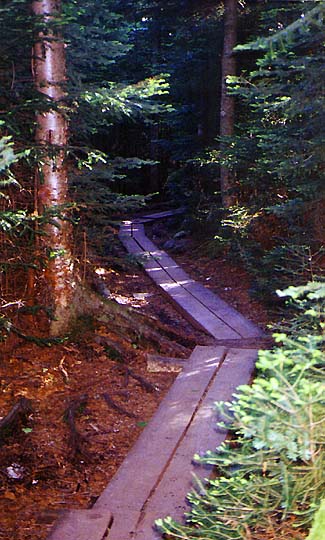
hike up to Lonesome Lake
was fairly easy, but I soon discovered that I had left
the bug repellent in the car. I would later regret my decision not
to go back and retrieve it; the blackflies weren't bad down
this low, but they were murder up higher.
I was thankful to pass out of range of the highway noise
when we reached the plateau at the top of the last switchback.
It
took us just over an hour to reach the north shore of the lake.
I stopped to take a picture across the lake to the hut, which was
hidden in the trees. The weather was perfect and the lake sparkled clear blue in the early morning light.
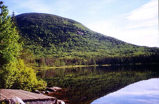
After reaching
the south shore of the lake by the hut's dock - which actually
isn't really much of a dock at all as it isn't out in the water - I stopped
again to
take a picture of North Cannonball. I was hoping to get a good
picture of the Franconia Range, but the sun was creating too much
glare for the camera. |