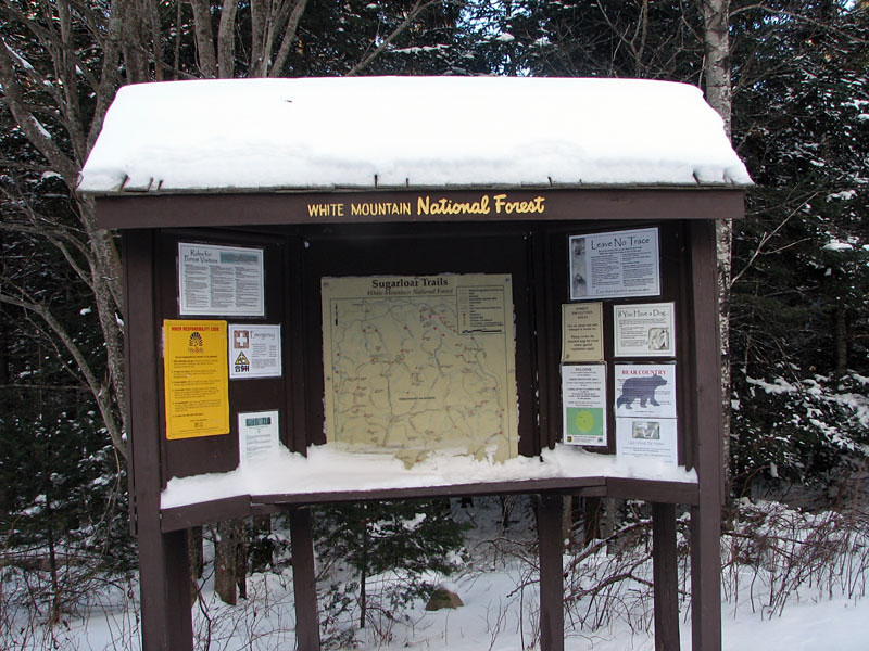
|
I left home hoping to be able to drive
up Zealand Rd to the Zealand Trailhead and hike a loop to Zealand Falls
Hut and over Mt Hale via the Zealand, Lend-a-Hand, and Hale Brook Trails,
followed by a mile walk back to the car on Zealand Rd.
As sometimes happens though, this plan did not work out.
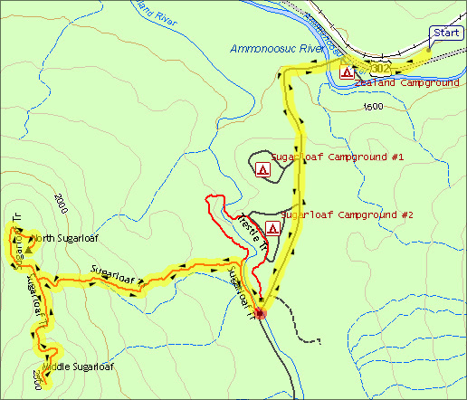
From Rt 302, Zealand Rd crosses a bridge, passes the small roadside
Zealand Campground, and then climbs about 250 ft uphill around a
couple of bends, not leveling out until it reaches Sugarloaf
Campground I. A 4‑wheel drive vehicle would have made it through the
few inches of slippery snow, but I only reached the first bend
before losing traction. I tried three times, and then gave up.
I
wasn't in the mood to walk all 3.5 miles and 600 ft uphill along the
road to get to the Zealand Trail, so I parked in the hiker lot on Rt
302 and decided to climb the Sugarloaf
Trail instead, which is only a mile up Zealand Rd.
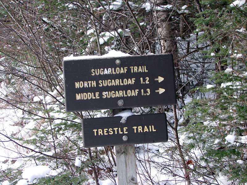
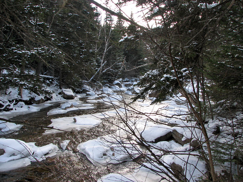
The Sugarloaf Trailhead begins, along
with the short, flat Trestle Trail, just after the second
Sugarloaf Campground, right where Zealand Rd crosses the Zealand
River and where the road's paved surface ends and the gravel begins.
For a short distance, the trail follows the west bank of the river
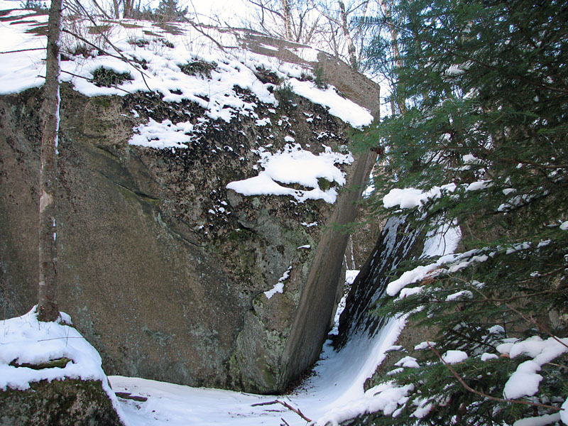
before it makes a sharp left and begins to climb away from it. Soon, it reaches
a group of several huge
boulders, two of which look like a single rock that split in two
ages ago.
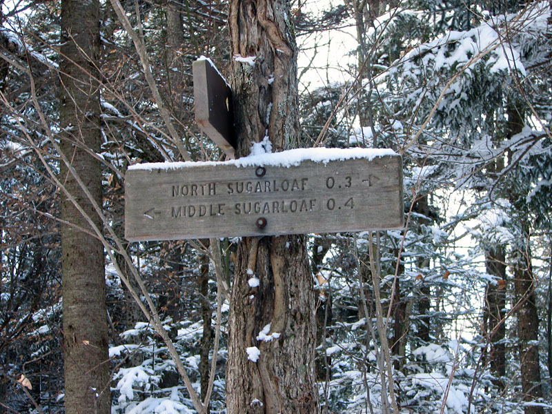
At the ridge between North and Middle
Sugarloaf, the trail splits into two branches. I chose to climb the
South branch to the
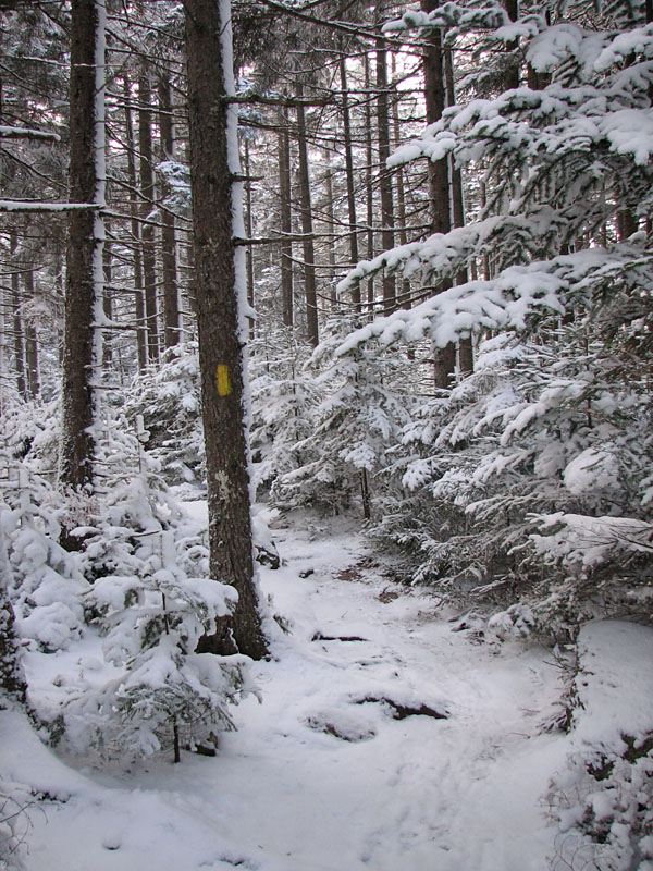
slightly taller Middle Sugarloaf first. For a while, the trail wound
through
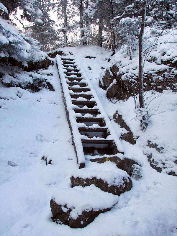
mostly level woods. Then it began to climb moderately via a couple of
wide switchbacks up the
steeper portion of the summit cone, finally ascending a ladder
just before the last climb to the top over steep ledges.
It was
hard to tell that I was so close to the top, but after climbing the
ladder and following the
trail around a short curve, I emerged out onto the small, but open
windswept summit. |
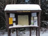
Sugarloaf Trailhead. The
trail is about a mile in from Rt 302. Although Zealand Rd wasn't
closed for the winter yet, I couldn't make it up the hill in my car, so
I had to walk this extra distance. |
 |