|
As
usual, I
left home at 4:30 AM to make the three hour drive to Crawford Notch. I
didn’t bring Muffin because I knew the snow would be too deep
for her, and dogs can't wear snowshoes. The weather was perfect - sunny
and cool, with a predicted high in the 50s. Before hitting the trail, I
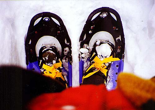
stopped at the Crawford Hostel to rent a pair of snowshoes. The caretaker
helped me fit them, and I was off.
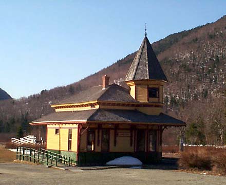
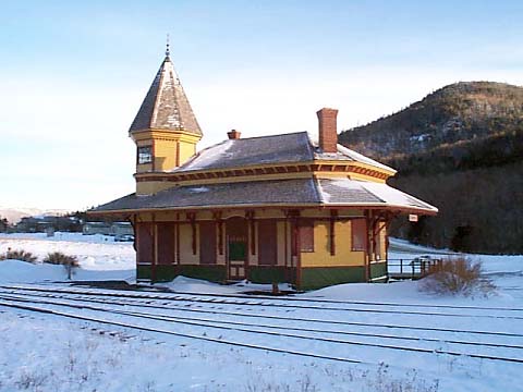
I
stopped near the trailhead to take a picture of the Crawford Depot, then
crossed the tracks and started down the trail. Although there hadn't been
any snow on the ground in the notch, the trail was snow-covered
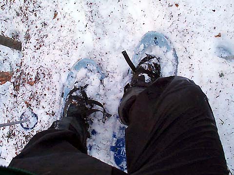
immediately after I entered the woods. I tried to walk on the narrow strip
of packed snow in the middle of the trail, but it was too hard to keep
from slipping off, so I soon stopped to put on the snowshoes. They made a
big difference at first, working well where the trail was flat or gently
sloped, and keeping me from postholing where the snow was at least loosely
packed.
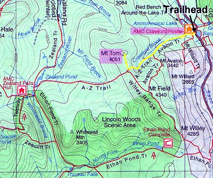
Not
long after passing the trail to Mt Willard, I came to the first crossing
of Crawford Book, which flows down from the col between Mt Tom and Mt
Field high above where I was headed. The water was a bit high, but
passable, and I went upstream about 20 ft to find a slightly better point
to cross. I stepped carefully across the slippery rocks, and made it
to the other side without incident. About
a half-mile up the trail, another crossing of Crawford Brook was a little
more difficult, but at least the brook was only about 20 feet wide at this
point, unlike some of the tougher and wider crossings on the Lincoln Brook
Trail in
the Pemigewasset Wilderness.
The
trail began to angle upward away from the brook, and woods started to
become more open, unlike the denser growth closer to the water. This would
have been all right, except that there weren't a lot of blazes along the
Avalon Trail and, due to the softening snowpack, there was very little
left of any previous tracks to follow. |
Crawford
Depot. Although there wasn't any snow on the ground in the notch, there
was still plenty left in the woods.
|

|
