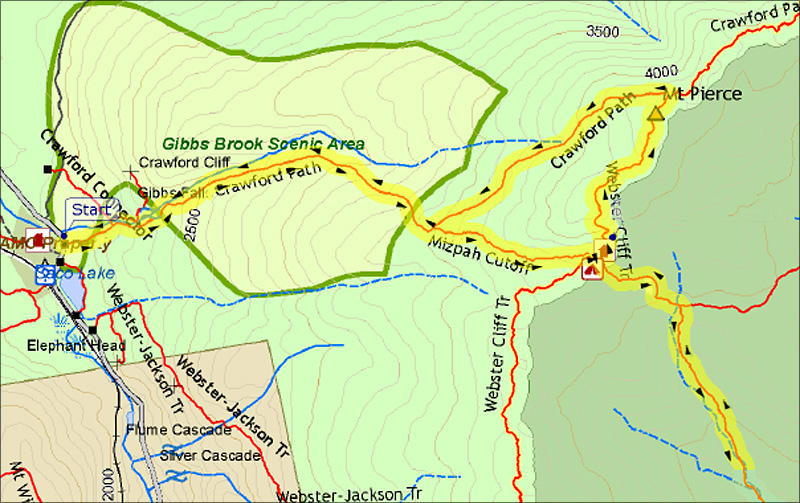
|
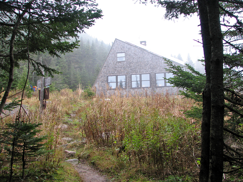
This was to be my last trip to work on my
trail this year, as Mizpah Springs Hut was closing in a few days, and it
wouldn't be all that long before the first snows coated the mountains in
their white winter blanket.
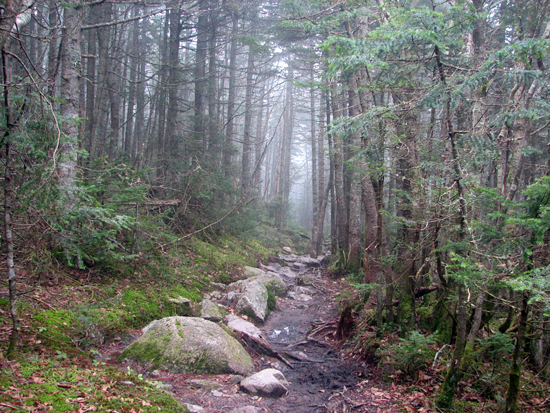
It was a chilly day, but not at all wintry. As
I set out on the trail, a low morning fog enshrouded the forest in a
fine mist. The wet rocks on the trail were somewhat slippery, but not
icy. By the time I reached the hut, picked up my tools, and set out down
the Mt Clinton Trail, the fog had not lifted and the air was damp and
chilly. As usual, the Mt Clinton Trail was rather wet, but nothing like
my last trip in July when it rained all day long, and I had to slog,
slosh, and splash my way back up to the hut.
The previous winter had been tough on the
trails and many smaller firs and spruces were bent completely over into
the trail and had to be cut down. Because of this, I hadn't gotten any
farther down the trail on my last trip than about 3100 feet. There were
plenty more blowdowns below that point. The trail also needed more
brushing, but I soon discovered that one of the bolts that hold the
cutting blades onto my lopper handles had fallen off. I tried rigging up
a substitute using a smaller bolt that I found in my pack, but it
quickly snapped, so I was left lopperless. I stashed the loppers behind
some bushes to pick up later and decided to concentrate on removing
blowdowns.
The blowdowns began in earnest below the point
at which I had turned around last time, and by lunchtime I had worked my
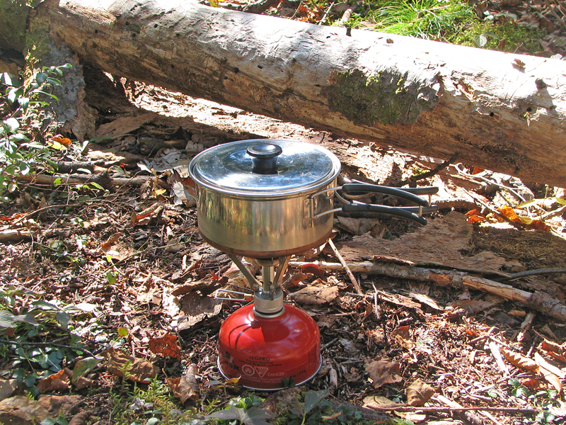
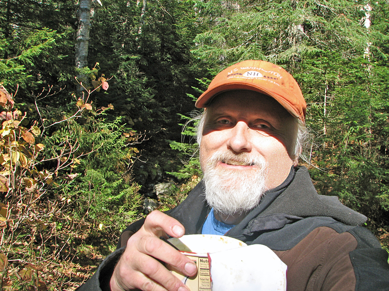
way down to the trail's first major brook crossing, where I stopped for
lunch. I boiled some water with my Pocket Rocket and made a nice hot cup
of black bean soup. Despite all the sawing I had done, the morning fog
had chilled me a bit, and the soup tasted particularly good as I sipped
it while sitting on a large fallen tree trunk on the far side of the
brook crossing.
After lunch, I continued working for another
hour or so. All-in-all, I removed almost thirty blowdowns, a couple of
which were rather large and took multiple cuts with my small bow saw.
After that, I packed up and turned around to head back. It gets dark
earlier in October, and I still wanted to climb Mt Pierce on my way
back.
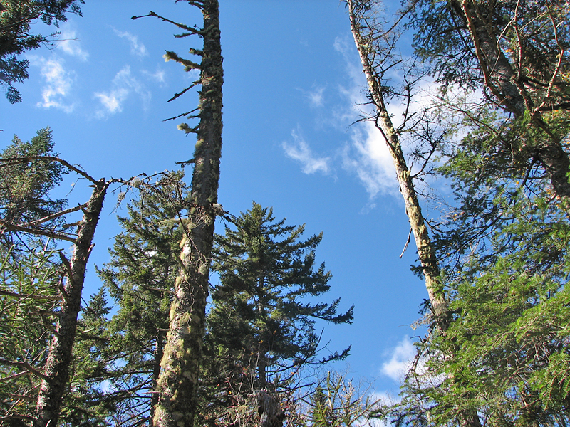
By the time I reached the hut, where I stopped
or a short rest and to fill my water bottles, the weather had completely
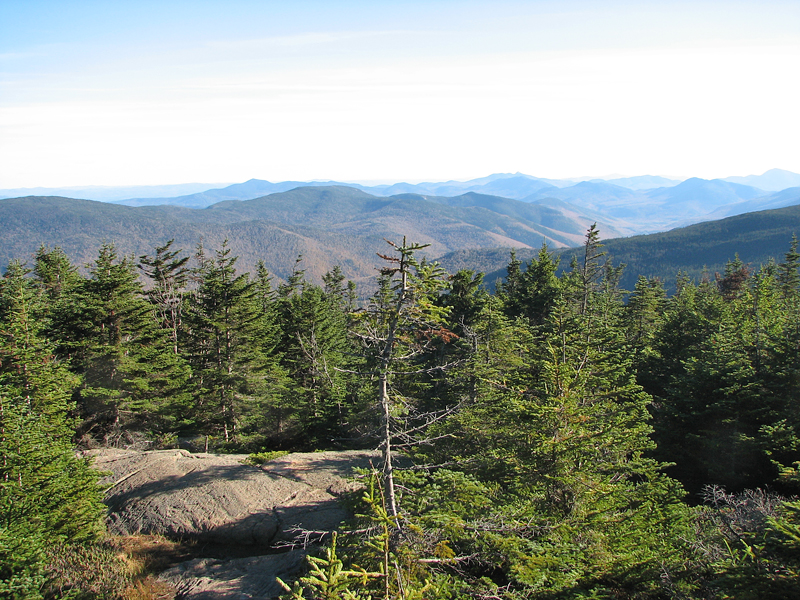
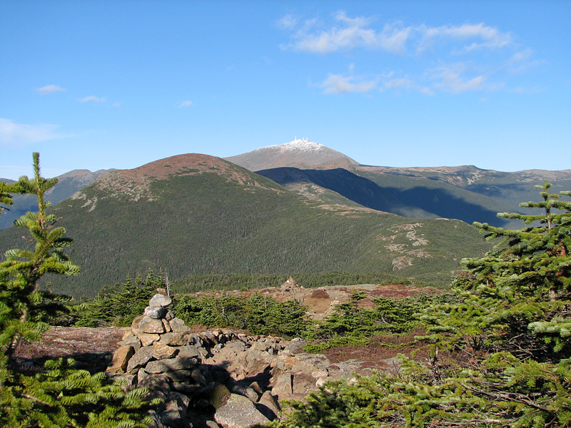
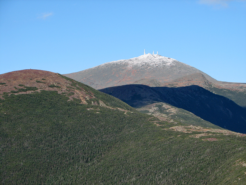
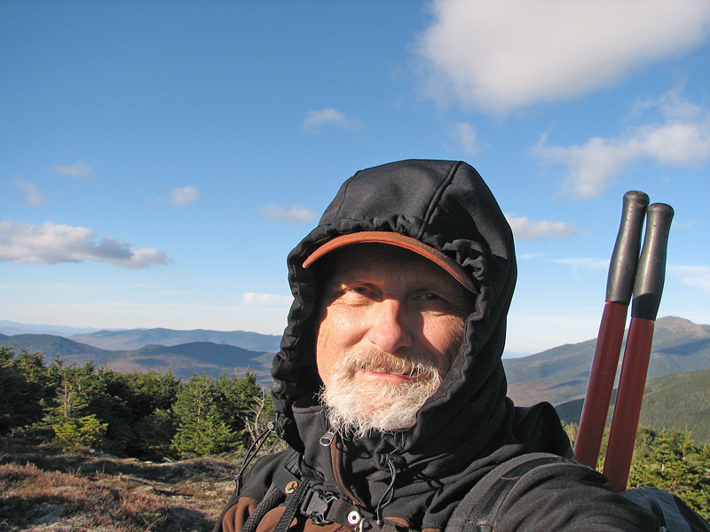
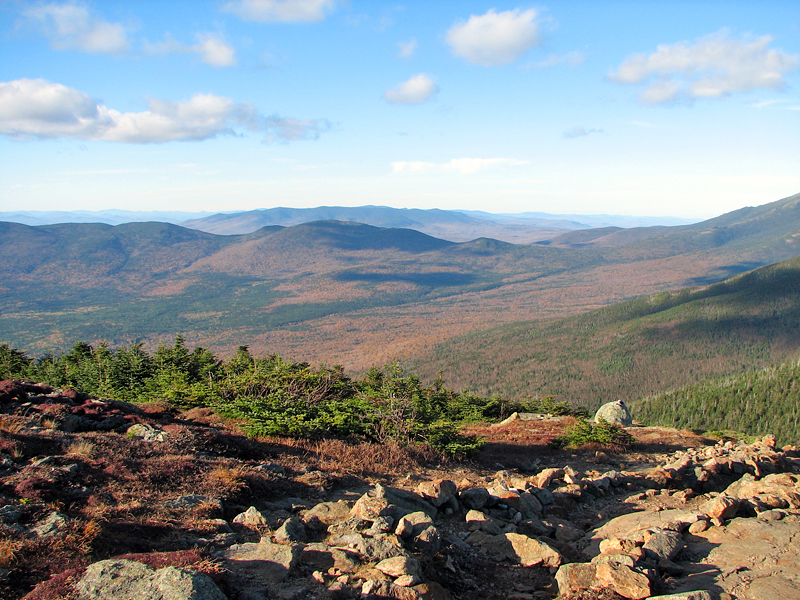
cleared and the sky was a clear autumn shade of deep blue. Atop Mt
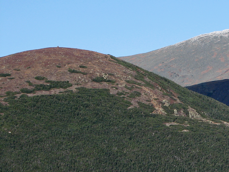
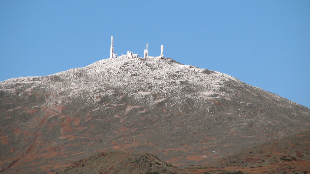
Pierce an hour later, the air was amazingly clear and every detail in
the mountains stood sharply out. I could even spot the Mt Eisenhower
summit cairn with the naked eye. The autumn woods were already past
their peak color, but there was enough orange in the view to give that
fall feeling to my pictures.
I didn't linger long on the summit. The
afternoon was waning and I really wanted to reach my car before dark. I
had my headlamp with me of course, but there were "miles to go before I
sleep."
I headed down the Crawford Path in a bit of a
melancholy mood, knowing full well that this had been my last trail
maintenance trip (and as it turned out, last trip to the White
Mountains) of the year. |