|
In late August, Hurricane/Tropical Storm Irene
dowsed New England with heavy rains, and was especially tough on the
White Mountains, causing several road and trail closures, including Rt
302 through Crawford Notch, and the entire Dry River Trail along with
its newly-rebuilt suspension bridge. Considering this, I didn't know
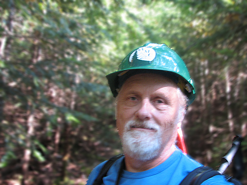
quite what to expect when I went up to work on the Mt Clinton Trail, but
was ready for a considerable number of new blowdowns.
I was pleasantly surprised to find that very
little work was needed along the upper part of the trail (down to around
2900 ft), the section I had covered on my overnight trip of June 30 -
July 1. However, below that point, there were quite a few blowdowns,
although I suspect that many of them had been there since the winter.
The short bypass that I had cut in June to
avoid a section of the brook with which the trail had coincided, was
still in good shape; it was obvious and easy to follow in both
directions.
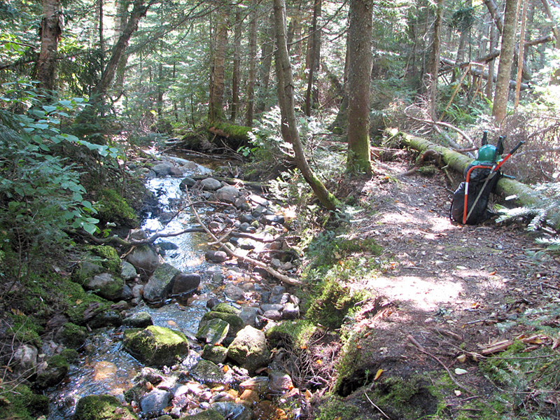
Conspicuous storm damage did not begin until I
reached the first major brook crossing at around 2800 ft. Judging by the
detritus along the banks, the brook had to have risen several feet as
the floodwaters powerfully swept downhill during the height of the
storm. Just below this crossing, where the brook joins another, is a
high bank. The waters, undoubtedly given a boost by the junction of the
two brooks, had seriously washed out and eroded the steep cliff here,
undermining it and causing a mud and rockslide into the brook.
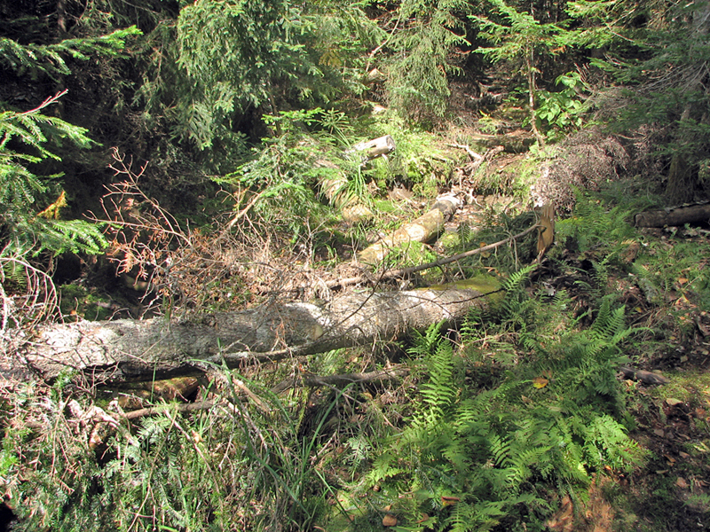
Curiously, the floodwaters had also strewn a
number of tree trunks and branches along what I had previously thought
to be the continuation of the trail on the south side of the brook,
while at the same time exposing the entrance to what had actually been
the correct path a short distance to the left. In my defense, however,
the route that I had taken to be the correct one was obviously an old
overgrown logging road, as are many sections of the Mt Clinton Trail.
The "correct" route had probably been cut some years before I came on
the scene to avoid the former logging road which is no doubt subject to
repeated floods and blockages.
On this trip, I made it down to what I
consider to be the halfway point, a legal marked campsite just below
2700 ft. There was definitely more work below that point, but I was out
of time if I wanted to make it back to my car before sunset, and at any
rate, I was getting rather tired. Luckily, WMNF ranger Cristin Bailey,
to whom I report, planned to get a crew out to work on the lower section
of the Mt Clinton Trail while they were clearing the Dry River Trail. |