|
Due to an injury (bruised ribs), our family's
2-week vacation on Cape Cod in August, and a long bout of unusually rainy
weather, I hadn't been up to the White Mountains since the beginning of
July. I was running out of time for finishing my trail work for the
year. With the weather predicted to be great over the Columbus Day
weekend, it was now or never.
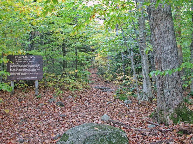
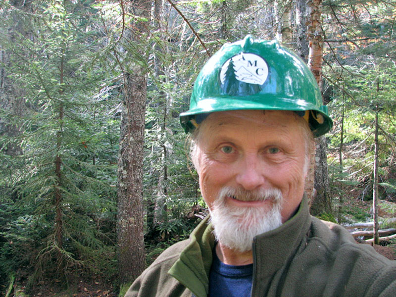
I made reservations to stay at Mizpah
Springs Hut for on Friday night, so I hiked up the Crawford Path
in the morning and deposited my sleeping bag and extra clothes in my
bunk. It wasn't supposed to be crowded that night, and I was lucky to
get one of the smaller bunkrooms all to myself. After picking up my
tools from where I had stored them in the hut's basement, I headed out to work
on my trail.
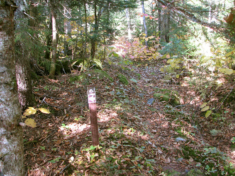
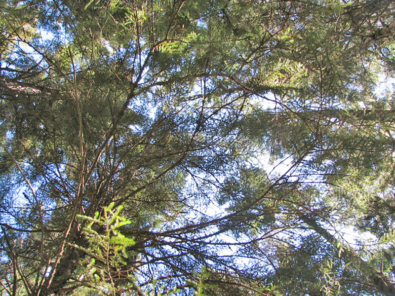
I expected to do a good deal of brushing, and
maybe remove a few blowdowns farther down on the trail, below where I
had last left off. But the reverse turned out to be true. All-in-all, I removed 17 blowdowns,
many of them higher up on the trail, and only did a little
bit of brushing, but I did cover the entire 3 miles of the trail, all the way
down to the junction with the Dry River Trail. I also built several
small cairns to mark some obscure brook crossings. Unfortunately, there
was one huge huge birch tree that had fallen to block the route of the
trail at the last brook crossing before crossing the Dry River. My small bow saw
was no match for it, so it had to stay.
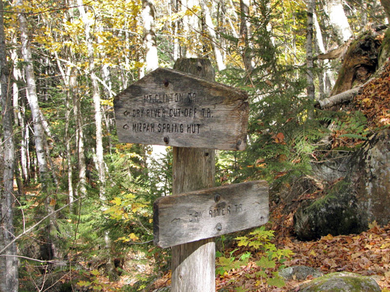
Along the way, I stopped for lunch at a legal
campsite that's located about halfway between the hut and the Dry River.
It's a pleasant-looking campsite, marked by a small brown Forest Service
sign on the trail. It's got a nice clear flat area for a tent (or maybe
2), a large and well-used fire ring, and the back of the campsite abuts
the brook.
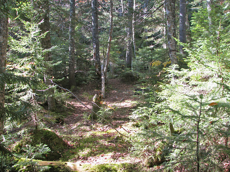
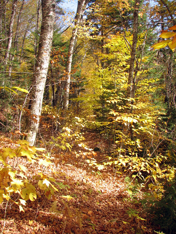
After lunch, I continued to work my way down
the trail. As the elevation decreased, birches began to replace the
stands of conifers, and the woods took on a bright golden and emerald
hue. The brook crossings were also more obscure, so it was in this
section that I did built most of the small cairns. The couple of tenths
of a mile or so of the trail was also hard to follow in places, so I did
a little brushing and dragged a few branches to block places where
someone might tend to wander away from the correct path. This would be
more of an issue going uphill rather than downhill, as the loud gurgling
of the Dry River provided a strong clue as to the right direction. |