|
This
was the week of the terrorist attacks in New York City and Washington DC,
so it was especially good to get away for a day and get my mind on
something less depressing. Leaving home at 4:30 AM, I drove straight up to
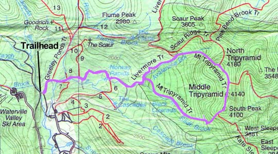
Waterville Valley to make the standard north to south loop of the Tripyramids.
I
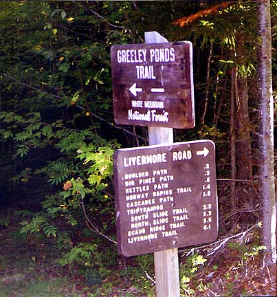
parked at the Livermore Trailhead lot off Tripoli (pronounced Triple-eye) Rd, then put on my
backpack and started down the trail. Although it's gated, at
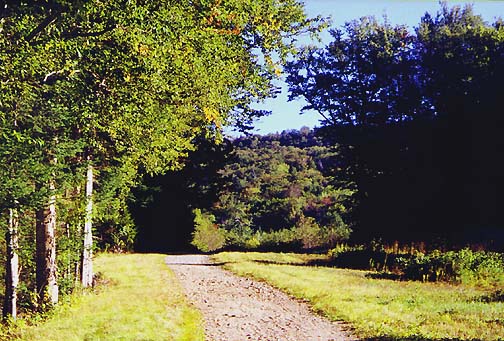
this point the trail seems to be referred to as Livermore Road. It's a wide
smooth graveled lane that is actually very pleasant to walk on,
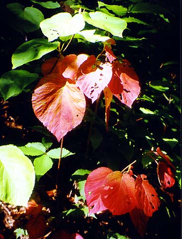
especially on a mid-September day with a touch of early Autumn in the air.
After crossing a branch of the Mad River on a bridge, the road passed, in
quick succession, the Greeley Ponds Trail and numerous short paths
maintained by the Waterville Valley Association.
After
passing the last Waterville Valley trail, a wide ski trail/road which
disappeared to the south over a creosote-oiled bridge, the Livermore Road officially
turned into
the Livermore Trail. Soon after, it went by what the guidebook said was the site of an old logging camp, which to me looked
more like a field or meadow with a few small trees
growing in it. Somehow, I guess I expected to see at least a few
disintegrating remnants - a rusted saw lying in the grass, an overgrown
shack, a pile of discarded cans, anything. It doesn't take long for nature
to erase the discarded traces of man's presence. |
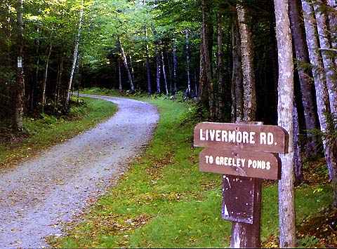
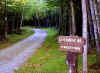
The
trailhead for the Livermore Trail. At this point, the trail is called
Livermore Road, but is gated, and does not seem to be used as a road
anymore. |
|