|
The Kate Sleeper Trail diverged left into some
trees, then crossed what was probably a second channel of the South Slide.
After returning to the woods, it was still very rough and slow-going, and
I was afraid that it was going to be a tough hike all the way to Mt
Whiteface.
Finally, it cleared the last remnants
moss-covered jumbled boulders, and we began making good time, passing over
the gentle wooded dome of West Sleeper and descending into a shallow col.
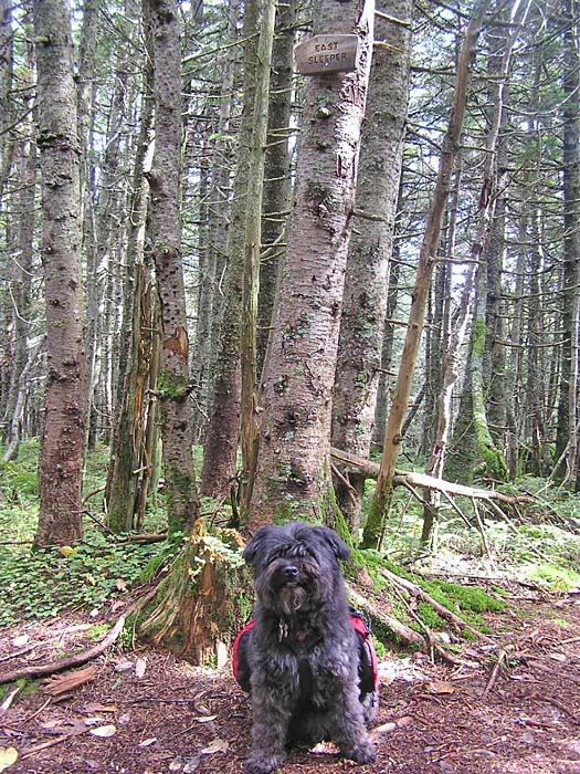
After climbing most of the way up East Sleeper, a short side path diverged
left, rising only a few more feet to
its true summit in a grove of trees.
It was another easy trek to the Downes Brook
Trail, whose junction was in the middle of a flat moist boggy area.
Checking the time, I decided that we could at least make it to Mt
Whiteface, even if we didn't have quite enough time to cross over the
ridge to Mt Passaconaway.
After a quick snack, we continued up the Kate
Sleeper Trail, which now rose more steeply up the west side of Mt
Whiteface. Before long, we reached the junction with the Rollins Trail in
a little col between the north and south peaks of Mt Whiteface. First, we
ascended about 100 vertical feet to the slightly higher but wooded and
viewless north peak. Not aware of its exact location, I accidentally
passed it by, descending a short distance down the ridge toward Mt
Passaconaway before I realized my mistake. Turning around, we recrossed
the north peak and retraced our steps back to the col, then climbed the
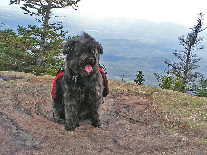
more interesting south peak.
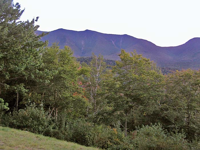
I took Muffin's picture, and we rested for a
while on its south-facing ledges, enjoying the views down toward
Wonalancet and the Lakes region beyond. Here, I definitely decided that we
didn't have time to go to Mt Passaconaway and still make it back to the
Kancamagus Highway before dark, so we made our way back down to the Downes
Brook Trail.
After filtering a couple of bottles of water,
we started north along the Downes Brook valley. At first, the trail was
easy to follow, but then the numerous brook crossings began, and it was
sometimes difficult to tell just where the trail crossed, and where it
picked up again on the other side. Since we were still within the Sandwich
Range Wilderness, there were few markings. At least the water level in the
brook wasn't high, and we had little trouble picking our way over the
rocks.
Finally, after crossing the brook for what
seemed like a dozen or more times, and as the sun's light was beginning to
soften to a reddish-yellow glow, we passed the Mt Potash and UNH Trail
junctions, and emerged out into the gravel-covered trailhead parking area.
As I had expected, there was no cell phone
reception in the area, and since there were also no pay phones nearby, we
began the long 2-mile slog along the Kancamagus Highway back to our car.
Luckily, the highway is flat in this area, and the trip back went much
more quickly and pleasantly than I had expected.
After hiking over 18 miles, I was tired and
I'm sure Muffin was too, so we were glad to be back in the car again. We
picked up some supper at McDonald's in Lincoln, and then headed home. |
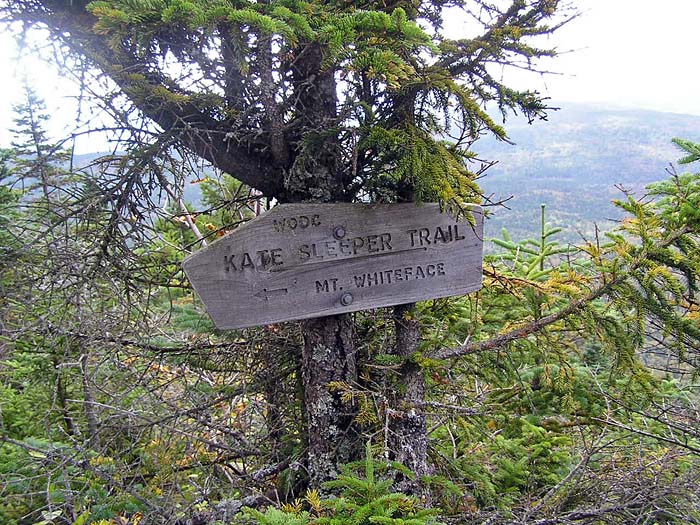
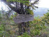
Kate Sleeper
Trail junction. It's best to keep to the left (east) side of the South
Slide to make sure that you don't miss this sign. |
 |