|
I
got up good and early at 4:00 AM so Muffin and I could get an early start
to the trip. Toi and Holly were going to be at "day" camp for an
overnight so it was a good time for us to go backpacking. We left home
around 4:30 and got to the North Twin Trailhead at 7:15. It was a cloudy
day and around 60 degrees, a little cooler than I had hoped, but
comfortable anyway.
When
I had finished getting our gear in order and locking up the car, we headed out on the
trail at 7:30. It’s a long way to the top of North Twin (about 4.5
miles), but the trail is relatively flat for a long ways, following the
course of the Little River, crossing and recrossing it several times. We
heard the sound of the water down below and off to the right for a long
time before we even got to see it. Muffin didn’t like crossing the river
over the rocks, so I helped her over some of the tougher spots.
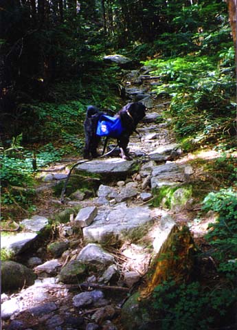
After
crossing the river for the last time, the trail began to get a bit
steeper, but it still wasn’t particularly difficult. It was quiet, the
air was filled with the fragrant aroma of spruce, and the weather was
nice. We had to the trail all to ourselves, and the time to enjoy it.
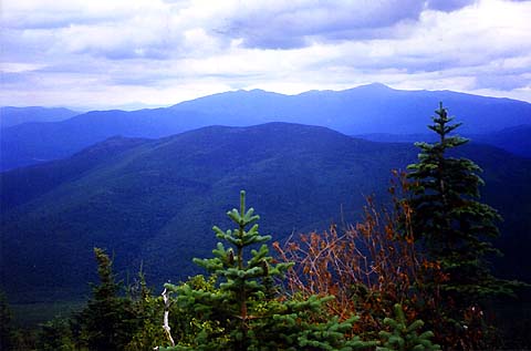
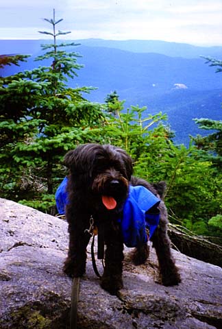
When
we had been climbing steadily for
some time, we reached a ledge that I
thought was pretty close to the summit of North Twin (although I found out
later that we weren’t as close as I thought). This ledge had the first
real views on the hike, so we stopped and I took a couple of pictures.
Muffin seemed to enjoy being on the ledge too.
Not
far up the trail, we
stopped briefly at Gibb's Falls. I had expected more of a show, but the
thin trickle of water was a bit disappointing, so I just took a quick
photo and continued on. Muffin was having a great time running up and
down the trail as we walked along. |
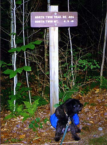
The
North Twin Trailhead. Muffin always seems to look away the moment I take
the picture. |
 |