|
The
weather was getting grayer as the day wore on, and we were hoping to make
it to Guyot Campsite before the rain began, so after a short rest, we
headed down the Twinway toward Mt Guyot. The trail went down fairly
steeply at first, then leveled out, following the ridge between S Twin and
Mt Guyot. Other than a few minor ups and downs, the trail was reasonably
flat and we made good time, although we were beginning to get a bit tired.
Although I knew we were on the ridge, and could sense that we were walking
in a narrow environment, the trail almost looked as if it could have been
down in the lowlands. There were no views either south down into the
Pemigewasset Wilderness or north toward the town of Twin Mountain.
A
bit over an hour (and two miles) later, we abruptly reached the talus slopes
of My Guyot. We had to pick our way carefully over the boulders here, and
I had to carry Muffin for a distance because the gaps between the rocks were too large for her. We turned onto the Bondcliff Trail here, went
over the rocky summit of Mt Guyot, following the many white-topped cairns,
then descended into the col between Mt Guyot and Mt Bond, where we finally
reached the side trail to the campsite.
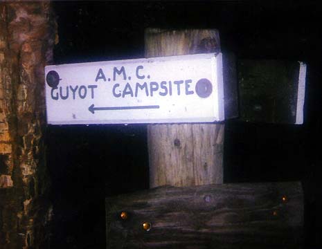
The Guyot Campsite Spur
plunged surprisingly steeply downhill. After what seemed like a half mile
(but was actually only 2/10 of a mile), we reached the Guyot Campsite caretaker’s
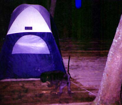
tent. The caretaker wasn’t around, so we continued down to the tent
platforms, set up our tent at one of the first platforms, then took a
short look around the campsite, which consisted of about five tent platforms
and an open shelter built on several levels on the steep side of the
mountain. There was also a small spring that came out of an old mossy
wooden pipe on the side of the mountain. I filled up our water bottles
here, but filtered the water just to be safe as the AMC sign suggested.
|
Guyot
Campsite Spur Trail sign. It seemed to take forever to get down to the
campsite.. |

|