|
It
started to rain lightly, so we went into the tent and took a short nap.
Just as the rain stopped, the caretaker came by to collect the $6 fee.
After paying, I gathered up my water bottles, compass, jacket, and maps,
and Muffin and I left to head for West Bond Mtn, which was less than a mile
away.
We
had to climb back up the steep Guyot Campsite Spur, then up the Bondcliff
Trail toward Mt Bond. After a short distance, we turned on the West Bond
Spur, winding our way gently downhill to the col below West Bond. After a
short, but occasionally steep climb, parts of which I had to lift Muffin
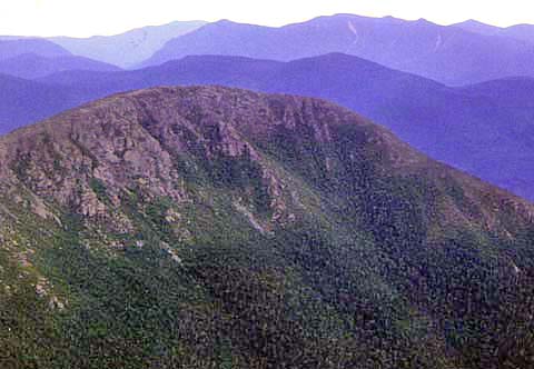
up, we reached the narrow, very jagged summit of West Bond, which gave
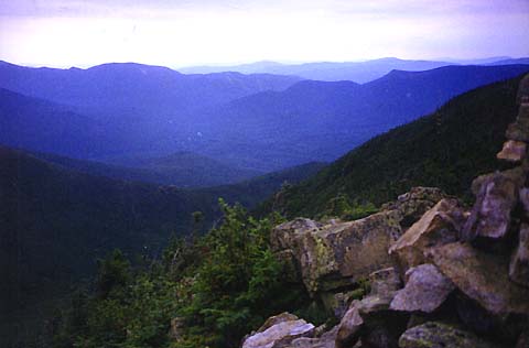
spectacular views of the Pemigewasset Wilderness, Mts Bond and Bondcliff,
South Twin, Mt Guyot, and the Franconia range. This was probably the best peak
of the trip for me, as West Bond is a very isolated sharply-peaked mountain
with 360 degree views and steep dropoffs on most sides. Except for a glimpse
of the Loon Mtn ski trails in the distance, there was nothing but trees
and mountains in every direction as far as the eye could see.
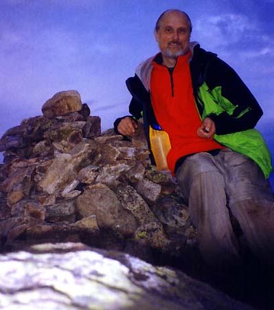
The
views were so good, and the time was still early enough (around
7:00),
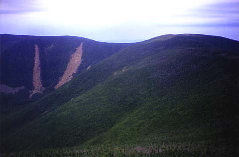
that I decided to push on to Mt Bond. We headed back down the West Bond Spur,
then turned south on the Bondcliff Trail and climbed moderately up to Mt
Bond. At one point, I thought I had passed the summit, but it turned out
to be a knob just north of Mt Bond. After a final push up a short steep
section, we reached the summit. Mt Bond had just as spectacular a 360 deg
view as West Bond, but the summit was much broader with no real sharp
dropoffs.
|
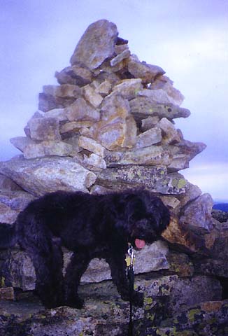
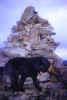
Muffin
on the narrow, jagged, summit of West Bond. West Bond was my favorite peak
on this trip, as it is a very isolated sharply-peaked summit with 360
degree views and steep dropoffs off on most sides. |
|