|
Like Mt Monadnock, Mt Wachusett is one of
those peaks that stands alone in the rolling uplands of north-central
Massachusetts and southwestern New Hampshire. I've climbed it many times,
at least once on every trail, and multiple times on most of them, and in
all kinds of weather, including at night. It's good training for hikes in
the White Mountains.
More often than not, I'll climb up either the
Old Indian Trail from the north (which is nice because it rises 1000 ft),
or take the steeper but shorter Pine Hill Trail from the park headquarters
on the east side of the mountain. This time, Muffin and I decided to head
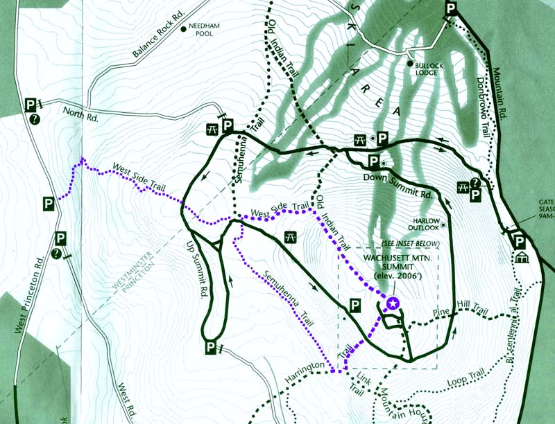
up the West Side Trail from a parking area along West Princeton Road.
This trail is mostly gentle, and somewhat
rocky, but doesn't climb all the way to the summit, as it ends at the
junction with the Old Indian Trail. We followed the West Side Trail up to
the Semuhenna Trail, which traverses the west side of the mountain,
connecting the lower reaches of the Old Indian Trail with the upper
reaches of the Harrington Trail. From there, we continued up the
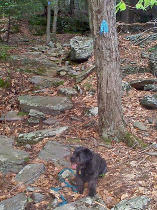
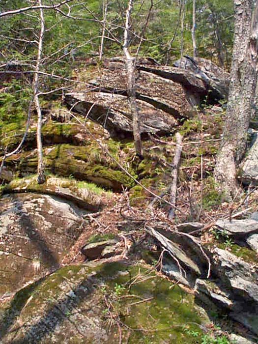
Harrington Trail to the summit. The upper portion of the Harrington Trail
contains what is probably the steepest and rockiest climbing on the
mountain, although the steep climbing doesn't go on for very long.
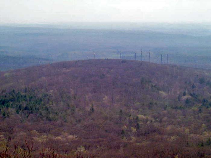
There's a viewpoint from an open ledge just
off the Harrington Trail where you can look down on the Princeton Wind
Farm. Built in the 1980s, this wind farm supplies a small portion of the
town of Princeton's electricity.
The summit area is open and ledgy, with
good views in most directions, particularly east toward Boston, which you
can see on a clear day. You can also see Mt Monadnock rising to the north.
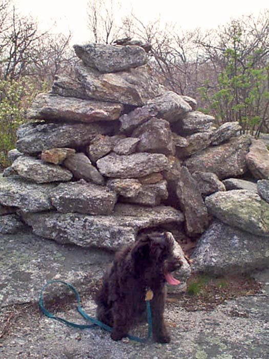
At the very top, there's an old fire tower, and slightly below that, a
small pond.
Just below the summit area, the Mt Wachusett
Ski Area's main chairlift ends in a level area that also has a number of
picnic tables. Of course, in May, if was too late in the season for
skiing, and the lift hadn't started its summer tourist season yet. We sat
on one of the chairs for a short rest and snack, and enjoyed the views
down toward the ski lodge.
Finally, we descended via the Old Indian Trail
as far as the West Side Trail, the looped back to our car on West
Princeton Road. |