|
Erin
and I left for the White Mountains in the late afternoon and spent the
night at a motel near Crawford Notch. In the morning, we got up early at
4:45 AM and left for the trailhead about 5:15, eating Pop Tarts and
drinking Instant Breakfasts in the car. The night before, clouds and fog
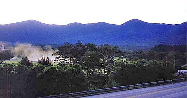
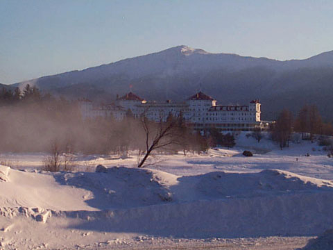
had been enveloping the peaks, but the morning was clear and cool, in the
mid-40’s. We could see the Southern Presidentials from the motel parking
lot.
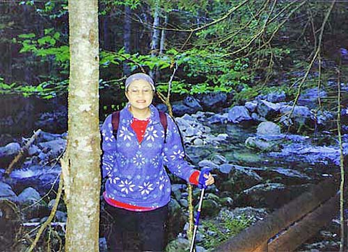
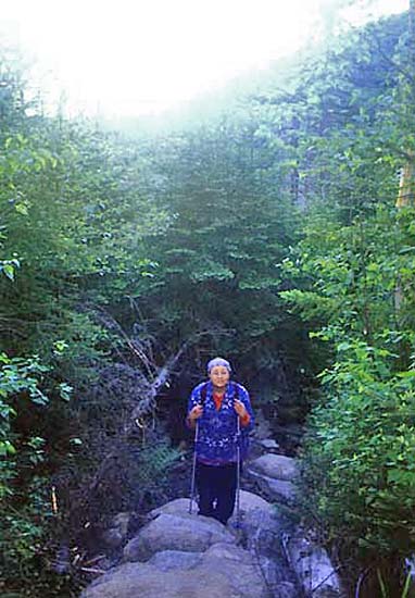
We
arrived at the Ammonoosuc Ravine Trail parking lot and headed out on the
trail at 5:30 AM. The first mile was relatively flat, with numerous small
brook crossings and a few minor ups and downs. Soon, we arrived at the
junction with the old trail from the Cog Railway base station. We took a short
rest by the Ammonoosuc River.
The
trail followed the river for about a mile, gaining altitude slowly. It was
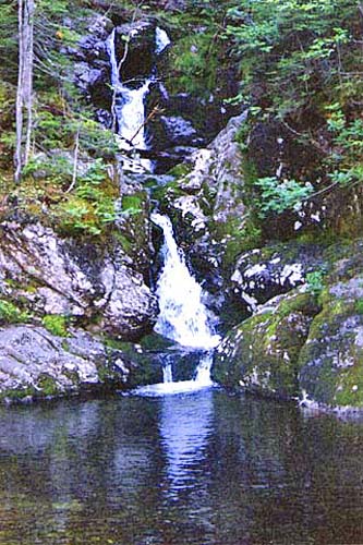
easy walking, and we could smell the spruce and fir trees in the woods. Then we
arrived at Gem Pool, a small pool with water cascading down from above. It
looked like a nice place to rest on a hot day. We stopped for a couple of
minutes and ate a quick snack.
The
next part of the trail is considered to be very steep and rough,
gaining 1000 feet in 2/10 of a mile, and then another 700 feet in the next
2/10 of a mile.
Never-the-less, I didn’t feel that it was too difficult; there were some
short switchbacks and views back down in several places.
|
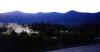
Mts Washington, Monroe,
Franklin, and Eisenhower (left to right) from the motel parking lot. The
Mt Washington Hotel is behind and to the left of the patchy fog.
|
|
