|
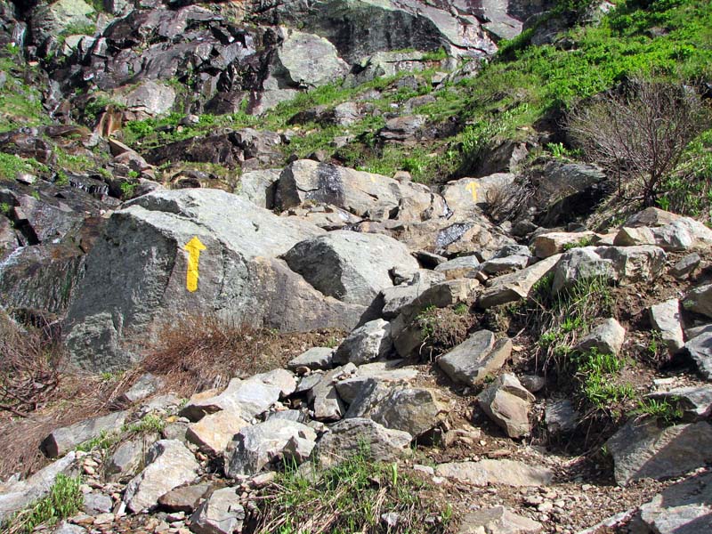
As the trail climbed up the steep rocky headwall on the right side of
the bowl, it followed a series of yellow blazes and arrows painted on
the rocks. For the most part, trails above treeline are marked with
cairns, as paint blazes on the rocks are considered a detraction to the
natural beauty. But because of the numerous avalanches that scour the
sides and floor of the ravine, cairns would not survive the winter here.
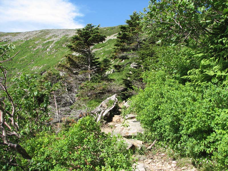
At the top of a very steep and bare rocky
section, the trail angled to the left, switchbacking toward the center
of the ravine. At the same time, the climb became more moderate, and I
passed through occasional patches of scrub and even a few taller trees.
The lip of the headwall started to
appear nearer and nearer, and then finally, I had reached it. A few
steps over the bare rock and I was standing there looking back down into
the void. It's a magnificent sight while hiking or climbing, but I
wouldn't want to try barreling down it on skis like so many diehard
backcountry telemarkers do.
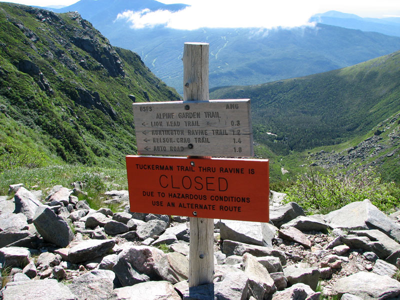
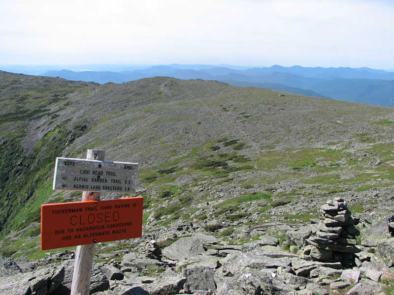
Just
above the lip was the junction with the Alpine Garden Trail. According to
a bright orange sign posted there, the headwall was closed, apparently
for rockfall since all the snow was gone from the ledges. However, I
never saw any warning signs at the bottom, and from what I later heard,
they removed this one a day or two later.
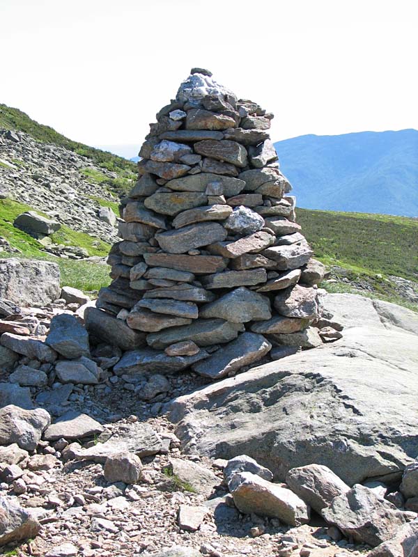
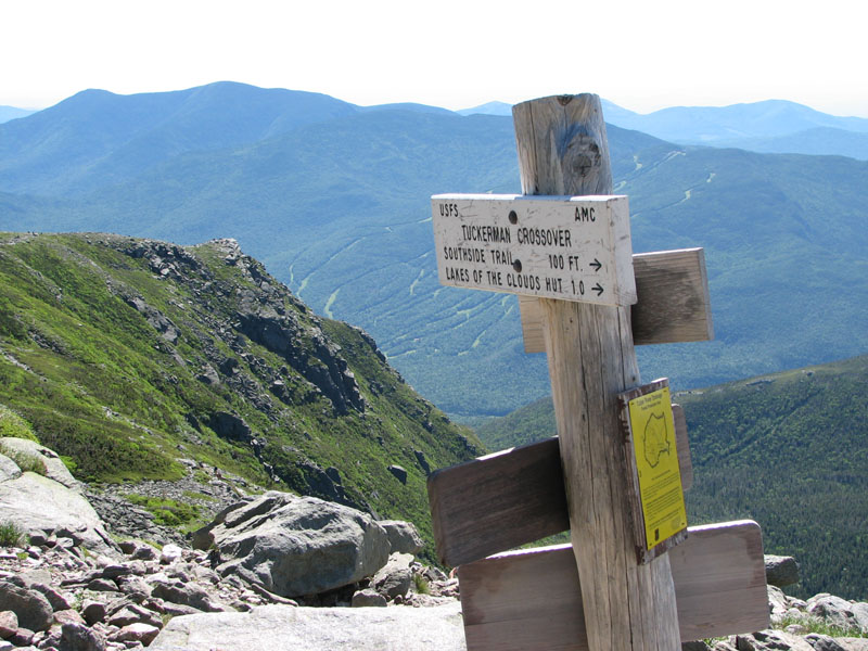
The next trail intersection is known
as Tuckerman Junction. It was marked with a large cairn which,
while larger than the average above-treeline cairn, was not
quite as massive as the one at Thunderstorm Junction on Mt
Adams or the large pile on Mt Jefferson. Several trails
intersect at there, including the Tuckerman Crossover, which
traverses the slopes over to Lakes of the Clouds Hut on the
southwest side of the summit cone.
The trail then began a relentless
rock hop over the massive boulders that make up the summit cones
of most of the Presidentials. While stopping for occasional
breathers, I turned to look back at the views below me.
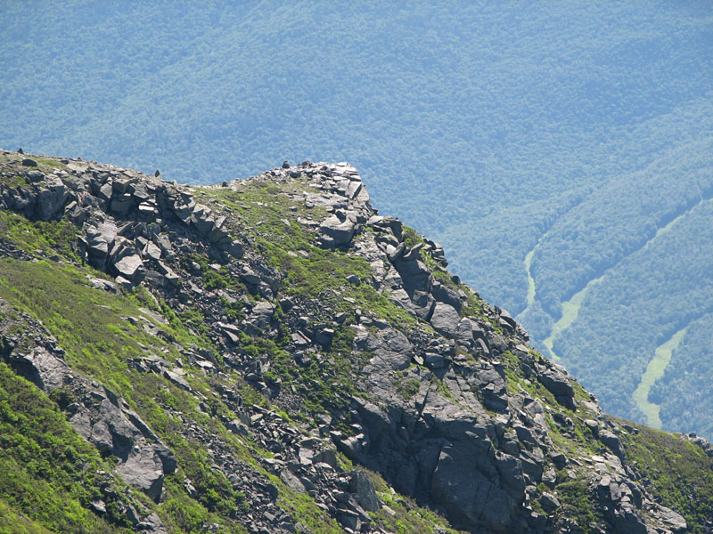
To my right was the rocky promontory
known as the Lion Head, which along with its connecting ridge,
form the north wall of the ravine. The profile of the lion head,
however, was not visible from this angle. Directly behind me was
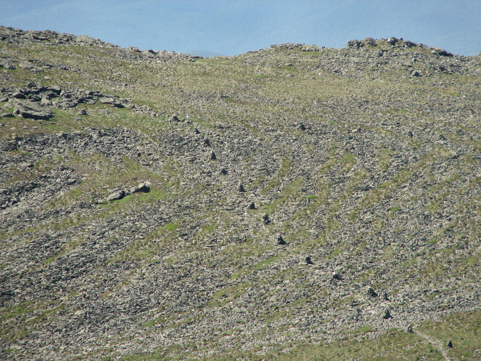
a wide view back to Boott Spur, which forms the south wall of
the ravine. On its way to the top of Boott Spur, the cairns on
the Davis Path looked like a line of soldiers or ants, all
marching along in an evenly-spaced single file.
After another round of toiling up and around
the boulders, I came to the intersection with the Lion Head Trail, a
popular alternative to the Tuckerman Ravine Trail. It headed over the
Lion Head and then down the ridge to a point near Hermit Lake. I was
thinking about going back that way, just for something different. |
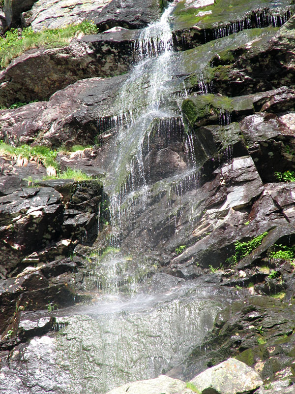
Waterfall.
Closeup of one of the many scenic falls that cascade down the steep
headwall of the ravine. |
 |