|
As
usual, I woke up at 4 AM and was out of the house by 4:30. It was Martin
Luther King Day, and seemed like a good day to go for a hike. Not much
else was going on. There was a prediction of flurries for later in the
afternoon, but there wasn't supposed to be much accumulation.
I
stopped first in Lincoln to find a place that rented snowshoes. I didn't
think that I'd pass any rental places in Twin Mountain or Jefferson, but I
had found several in Lincoln on the Internet. One place opened at 7:30,
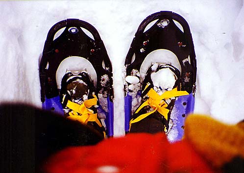
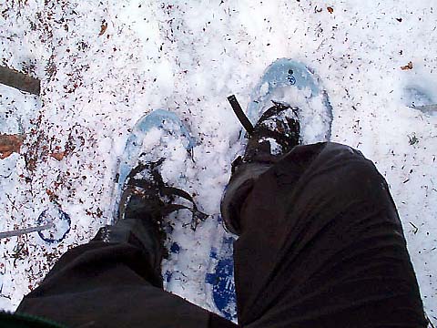
so that's where I ended up. They had a wide selection of sizes. I decided
to go with the 36" snowshoes; after renting some short ones last
April to climb Mt Tom and postholing almost
as much as if I had been bare-booting, I didn't want to take any chances.
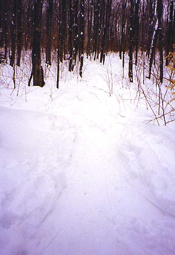
The trail turned out to be so well-packed though that these long snowshoes
were overkill, and just added extra weight to my feet.
I
got to the trailhead about 8:15. The access road wasn't plowed all the way
to the parking area, but there was space for one car at the dead end, so I
parked there. The closest house was a summer residence anyway, so it was
unlikely that I'd be in anyone's way.
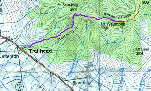
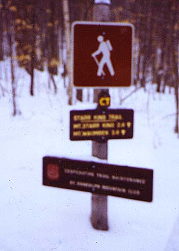
The
Starr King Trail forms a small portion of the
Cohos
Trail, a 159-mile long trail system connecting the Presidential Range
to the Canadian border at the tip of New Hampshire. If you look closely at
the somewhat fuzzy trailhead picture on the right, you'll see the Cohos
Trail's yellow CT logo just below the hiker symbol.
About
a quarter mile up the trail, there's an old well next to the trail that
must have served a farm at one time. It was full of junk when I looked in,
so it didn't seem like a very good water source.
|
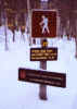
Starr
King Trailhead. This trail is also part of the Cohos Trail, which reaches
from the Presidential Range with the Canadian border. |
|
