|
I
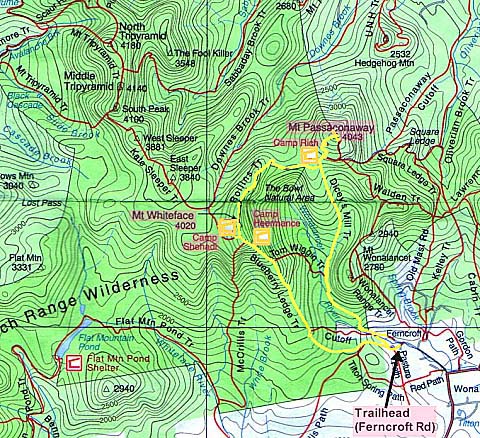
left home at 4:30 AM and drove up to find the trailhead which is at the
end of Ferncroft Rd in the town of Wonalancet, NH. Unfortunately, the map
I got from the Internet showed Ferncroft Rd a bit east of where it was really
located, so I passed it up and had to turn around. Once I found it, I drove
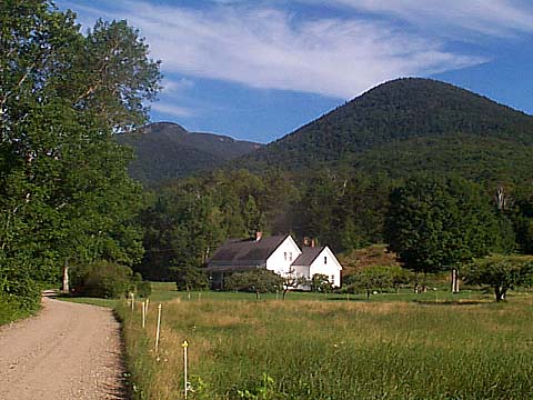
down to the parking area which was next to a field and farmhouse. A trail
sign pointed the way. The weather was sunny, with temperatures in the
60s.
The
trail followed the parking lot access lane past a field back to Ferncroft
Rd, then turned right to follow Ferncroft Rd past the farmhouse and to a
small bridge called Squirrel Bridge. I could see Mt Whiteface in the
distance, but I couldn’t see Mt Passaconaway. It was hidden
behind the closer and much smaller Mt Wonalancet which loomed directly in
back of the farmhouse.
After crossing Squirrel Bridge over the Wonalancet River, the trail
followed a dirt road past several other houses, then turned off into the
woods and became narrower. It rose gently, angling away from the river.
Soon, spruce and hemlock became more numerous and fragrant, which I
thought was unusual at this low elevation (about 1600 ft). The trail
continued to climb easily, and was very pleasant, especially with the
strong evergreen smell.
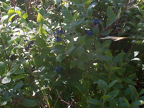
After
awhile, I came to the lower ledges. Although they didn’t require any difficult
climbing, they were wide spaces of exposed bedrock that would have been
extremely slippery if wet. All around, in small patches scattered among
the rocks, were lots of blueberry bushes. |
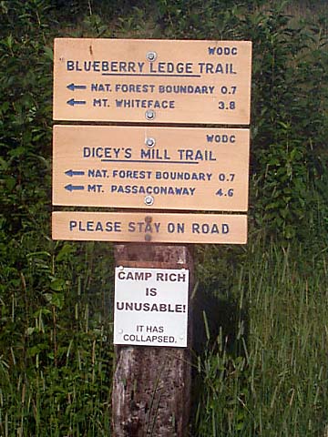
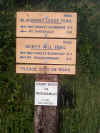
Blueberry
Ledge and Dicey’s Mill Trailhead sign. This was a most different
trailhead; instead of beginning in the woods, it was located next to a
pasture and farmhouse. |
 |