|
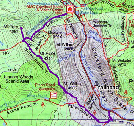
I
was originally planning on climbing Mts Pierce and Eisenhower via the
Crawford Path, but the weather forecast included afternoon thunderstorms, so
I changed our plans to Mts Willey, Field, and Tom since they were pretty
much wooded and out of the weather. As it turned out, there were actually
some pretty nasty thunderstorms later in the afternoon, but that was after
we were on our way home again. These three peaks would bring
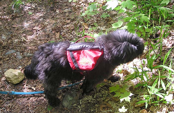
Muffin's count up to 28 so that would leave her with only 20 more left.
As
usual, we left home about 4:30 AM, arriving at the AMC Highland Center in
Crawford Notch around 7:30. I decided to take the 8:00 AM AMC shuttle down
the road to the Ethan Pond/Webster Cliff Trailheads, then hike back over the
Willey Range to the Highland Center. Most of the time, the shuttle
never runs where I need to go or when I need a ride, but this time, I got
lucky.
After
the shuttle driver dropped us off on Rt 302, we hiked up the paved Willey
Station Road to the actual trailhead at a parking area at the road's end.
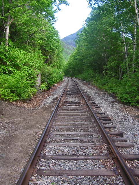
The Ethan Pond Trail ascends gradually at first, shortly crossing the Conway
Scenic Railroad tracks and, in another 2/10 of a mile, reaching the junction
where the Arethusa-Ripley Falls Trail branches left. We stopped here for a
short break, mostly so I could put on some mosquito repellent. This didn't
really please Muffin, who was anxious to get moving again. She hates to take
too long of a break unless it involves food.
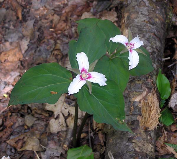
Along
the way, I stopped to take a picture of some painted trilliums which grew in
abundance along the trail here at lower elevations. The climb went quickly,
and we soon passed the junction with the Kedron Flume Trail on the right,
which drops steeply down toward the Willey House site and its gift
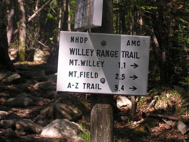
shop/snack bar. Not far beyond, we arrived at the junction where the Willey
Range Trail begins and the Ethan Pond trail veers left. We stopped for a
short break just beyond the junction where Kedron Brooks flows across the
trail. And, since I didn't expect to pass many (if any) more water sources
for a while, I also filtered a couple of bottles of cold water. |
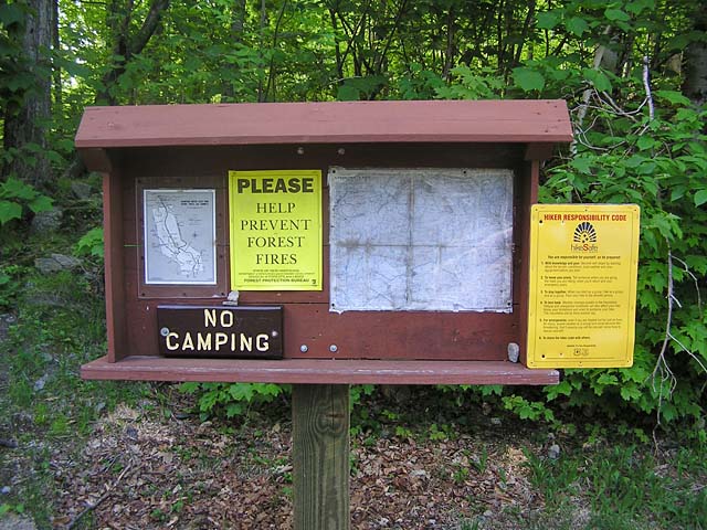
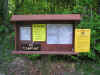
Ethan
Pond Trailhead. The trail begins at the Willey Station site, a short distance up
a paved road from Rt 302. |
|