|
The
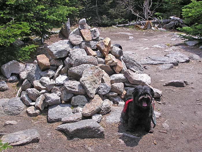
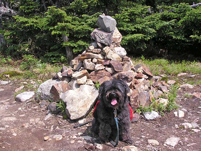
climb up to Mt Field from the col was not difficult, especially after the
steep ascent to Mt Willey. We stopped at the summit cairn for a
photo and for a look at the limited views. To the north, the broad
rounded top of Mt Tom was visible through the trees.
What
a difference from the last time I was here, back in January of 2000. It
had been 20 below and everything was coated with a thick layer of snow and
ice. It was all I could do to make it to Mt Field and back, let alone
attempt Tom or Willey on the unbroken Willey Range Trail.
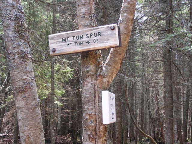
The
trek down to the Field-Tom col went quickly, and we soon reached the A-Z
Trail, turned right, and in a few steps, arrived at the Mt Tom Spur
junction. The last time I stood in this spot, I had just spent a long exhausting
time route-finding through a decaying spring snow. Blazes are far and few
between on the A-Z Trail, at least in the section coming from the Avalon
Trail toward Crawford Notch. I lost the trail so many times that day that
I almost gave up and turned around. I was overjoyed when I finally found
the trail sign.
Most
of the way up the Mt Tom Spur Trail, there's a view spot east to the
Southern Presidentials. We stopped for a quick look, but I didn't take any
pictures.
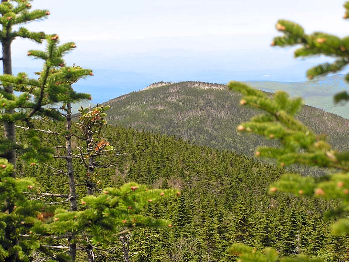
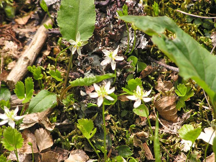
On top, we first visited the south end of the summit cone, where
there are some good views back toward Mt Field. A short distance to the
north, at the actual summit, there is a medium-sized cairn, a bench, and limited
views to the west. Wild strawberries were growing abundantly along
the trail on the open summit. |
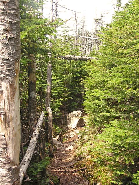
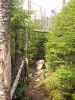
Willey-Field
Col. The trail runs through this relatively flat col before
beginning the climb up to Mt Field. |
|